
Ice House 250 Metres South East Of Barningham Park, icehouse in Barningham, County Durham, UK
Emplacement : Barningham
Coordonnées GPS : 54.48578,-1.86532
Dernière mise à jour : 28 octobre 2025 à 06:44
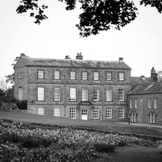
Barningham Park
254 m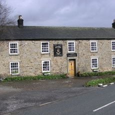
Milbank Arms
384 m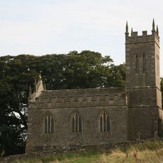
Church of St Mary
2.7 km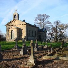
Church of St Mary
4.1 km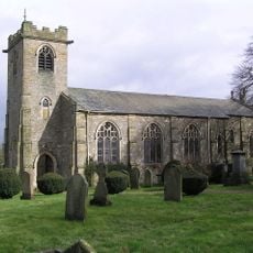
Church of St. Michael
489 m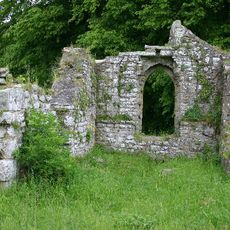
Ruins of Old Church of St Mary
2.4 km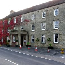
The Morritt Arms Hotel
3.2 km
Monument On Adam Hill, South East Of Barningham Park
44 m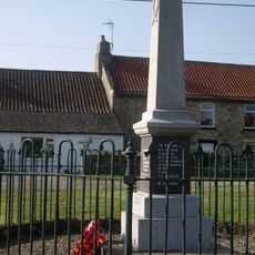
Newsham War Memorial, Richmondshire
1.9 km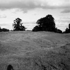
Greta Bridge Roman fort, vicus and section of Roman road
3.2 km
Carved rock and Romano-British settlement known as Greystone, 250m south of Moorcock Farm, Barningham Moor
2.1 km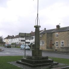
Market Cross And Stocks
1.8 km
Cairnfield and associated remains, 250m south east of Bragg House, Barningham Moor
1.4 km
Carved rock and cairn in Rowley Intake, 410m south east of Cowclose House, Barningham Moor
2.3 km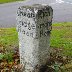
Guide Post Opposite Smallways Inn
2.6 km
Prehistoric carved rocks and associated remains including cairns and a field system 800m south of Haythwaite, Barningham Moor
3.4 km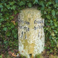
Milestone 30 Metres South East Of Thorpe Grange Farmhouse
2.7 km
Cairn, 650m SSE of Bragg House, Barningham Moor
1.7 km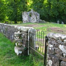
Churchyard Wall Around Old Church Of St Mary
2.4 km
Carved rock 380m ENE of Bragg House, Barningham Moor
1.3 km
Cairn, 545m ESE of Bragg House, Barningham Moor
1.2 km
Greta Bridge
3.1 km
A carved rock within a large enclosure, 800m north east of Badger Way Stoop, Barningham Moor
2.6 km
Cairn, 625m SSE of Bragg House, Barningham Moor
1.7 km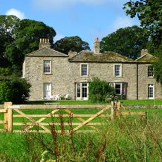
Brignall Grange
2.7 km
Carved rock north of Washbeck Green, 570m south of Haythwaite, Barningham Moor
3.3 km
Cairnfield on a small knoll at Badger Way Stoop, Barningham Moor
3.4 km
Thorpe Farmhouse and adjacent outbuildings
2.7 kmAvis
Vous avez visité ce lieu ? Touchez les étoiles pour le noter et partager votre expérience ou vos photos avec la communauté ! Essayez maintenant ! Vous pouvez annuler à tout moment.
Trouvez des trésors cachés à chaque coin de rue !
Des petits cafés pittoresques aux points de vue planqués, fuyez la foule et dénichez les lieux qui vous ressemblent vraiment. Notre app vous facilite la vie : recherche vocale, filtres malins, itinéraires optimisés et bons plans partagés par des voyageurs du monde entier. Téléchargez vite pour vivre l'aventure en version mobile !

Une approche inédite de la découverte touristique❞
— Le Figaro
Tous les lieux qui valent la peine d'être explorés❞
— France Info
Une excursion sur mesure en quelques clics❞
— 20 Minutes