
Church Bungalow, building in Thurrock, Essex, UK
Emplacement : Thurrock
Coordonnées GPS : 51.48392,0.23308
Dernière mise à jour : 25 avril 2025 à 19:38
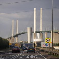
Passage de Dartford
2.8 km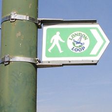
London Outer Orbital Path
3.8 km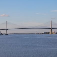
Queen Elizabeth II Bridge
2.8 km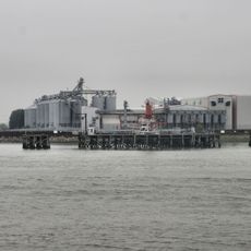
Tilda
4.1 km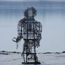
The Diver
3.8 km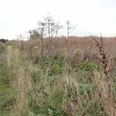
Rainham Marshes Nature Reserve
879 m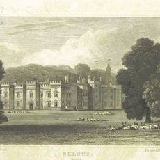
Belhus
3.8 km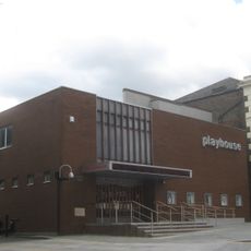
Erith Playhouse
3.6 km
Purfleet Chalk Pits
1.2 km
Purfleet Road, Aveley
1.5 km
West Thurrock Lagoon and Marshes
4.1 km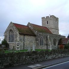
St Mary and St Peter's Church, Wennington
2.7 km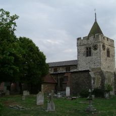
Church of St Michael
2.3 km
Christ Church
3.9 km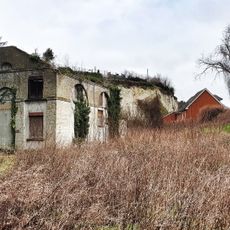
Church House
42 m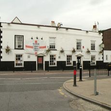
Crown And Anchor Hotel
2.3 km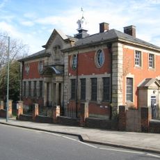
Erith Old Library
3.8 km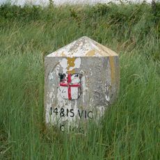
Coal Duty Boundary Marker (On Foreshore, At Mouth Of River Darenth, West Bank)
1.2 km
Aveley Library
2.1 km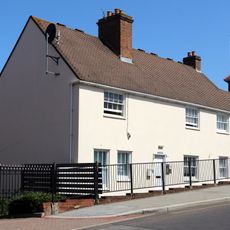
28 And 30, Erith High Street
3.6 km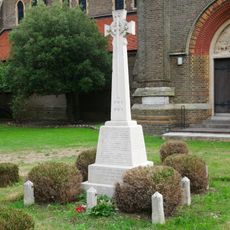
Erith (Christ Church) War Memorial
4 km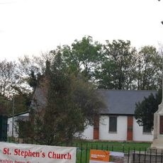
St Stephen's Church
91 m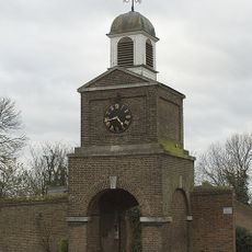
Clock Tower And Attached Walls
180 m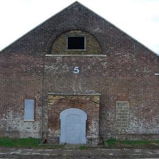
Government Powder Magazine
270 m
Temple Hill Library
3.7 km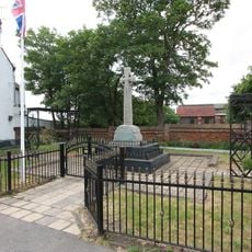
Aveley War Memorial
2.3 km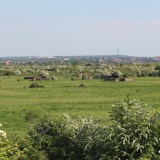
World War II Heavy Anti-Aircraft (Haa) Battery
2.3 km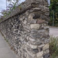
Remains Of Priory Walls In Victoria Road, Kingsfield Terrace And Priory Lane, Including The Doorway In Kingsfield Terrace
4 kmAvis
Vous avez visité ce lieu ? Touchez les étoiles pour le noter et partager votre expérience ou vos photos avec la communauté ! Essayez maintenant ! Vous pouvez annuler à tout moment.
Trouvez des trésors cachés à chaque coin de rue !
Des petits cafés pittoresques aux points de vue planqués, fuyez la foule et dénichez les lieux qui vous ressemblent vraiment. Notre app vous facilite la vie : recherche vocale, filtres malins, itinéraires optimisés et bons plans partagés par des voyageurs du monde entier. Téléchargez vite pour vivre l'aventure en version mobile !

Une approche inédite de la découverte touristique❞
— Le Figaro
Tous les lieux qui valent la peine d'être explorés❞
— France Info
Une excursion sur mesure en quelques clics❞
— 20 Minutes