
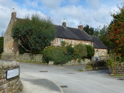
Buxton Hall Farmhouse, farmhouse in Kirk Ireton, Derbyshire Dales, Derbyshire, UK
Emplacement : Kirk Ireton
Coordonnées GPS : 53.04817,-1.60312
Dernière mise à jour : 5 mars 2025 à 15:46
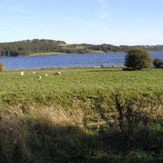
Carsington Water
2.2 km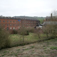
Haarlem Mill
3 km
Carsington Water Visitor Centre
2.9 km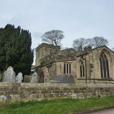
Holy Trinity Church, Kirk Ireton
198 m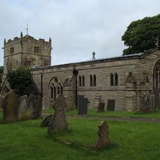
Church of St Bartholomew
3.2 km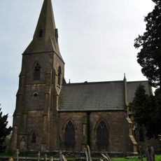
Church of St James
2.2 km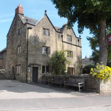
The Barley Mow Inn
85 m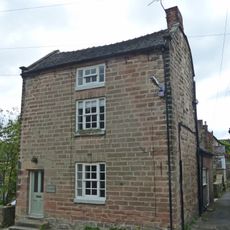
House South West Of Churchyard Gates
155 m
Outbuildings And Former Outbuildings To The West Of The Barley Mow Inn
99 m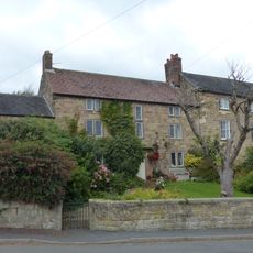
The Manor House
58 m
Upperfield Farmhouse And Adjoining Barn To The West
1.5 km
House To The South West Of Green Farm
146 m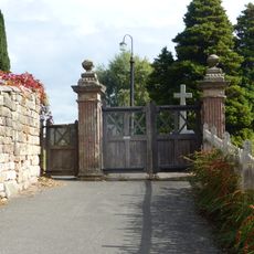
The Gate Piers To Holy Trinity Churchyard
178 m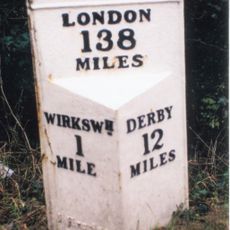
Mile Post 1 Mile From Wirksworth
2.8 km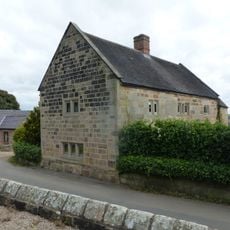
Church Farmhouse
230 m
Green Farmhouse
166 m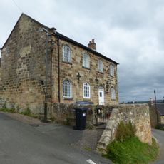
Well Banks (at the junction of Well Banks and Nether Lane)
227 m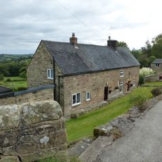
Farmhouse And Attached Outbuildings To The South Of Well Banks
259 m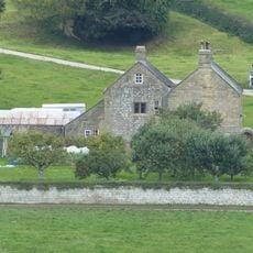
Callow Hall
1.6 km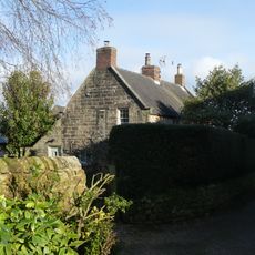
Prospect House
116 m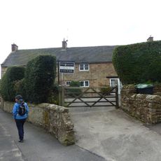
Rose Bank
133 m
Northfield Farmhouse And Garden Wall
60 m
Callow Hall Barns
1.7 km
Methodist Sunday School
146 m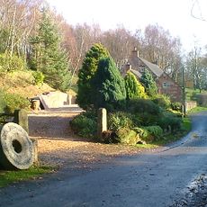
Blackwall Farmhouse
1.2 km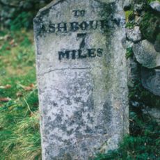
Milestone, E of Hopton village
3.1 km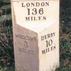
Milepost, near Idridgehay Church
2.2 km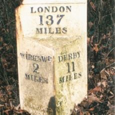
Milepost, Alton Manor
1.8 kmVous avez visité ce lieu ? Touchez les étoiles pour le noter et partager votre expérience ou vos photos avec la communauté ! Essayez maintenant ! Vous pouvez annuler à tout moment.
Trouvez des trésors cachés à chaque coin de rue !
Des petits cafés pittoresques aux points de vue planqués, fuyez la foule et dénichez les lieux qui vous ressemblent vraiment. Notre app vous facilite la vie : recherche vocale, filtres malins, itinéraires optimisés et bons plans partagés par des voyageurs du monde entier. Téléchargez vite pour vivre l'aventure en version mobile !

Une approche inédite de la découverte touristique❞
— Le Figaro
Tous les lieux qui valent la peine d'être explorés❞
— France Info
Une excursion sur mesure en quelques clics❞
— 20 Minutes