
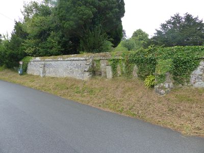
Approximately 25m of churchyard wall to the west and south of St Mary's Church
Approximately 25m of churchyard wall to the west and south of St Mary's Church, Grade II listed churchyard wall in Iwerne Minster, North Dorset, Dorset, UK
Emplacement : Iwerne Minster
Coordonnées GPS : 50.92947,-2.18909
Dernière mise à jour : 5 mars 2025 à 14:38
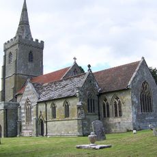
Church of St Mary
27 m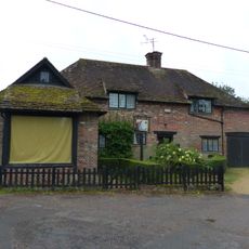
Sunnyside and attached shop
195 m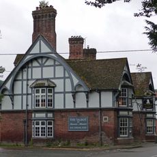
The Talbot at Iwerne Minster
284 m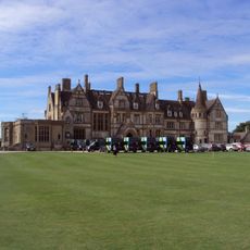
Iwerne Minster House
546 m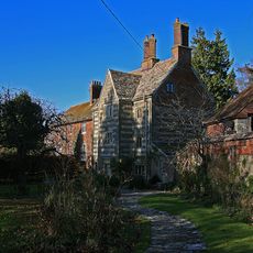
The Chantry
54 m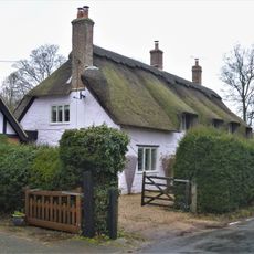
The Old Cottage
241 m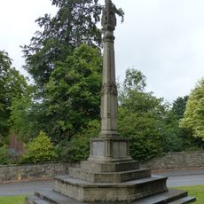
Iwerne Minster and Sutton Waldron War Memorial
265 m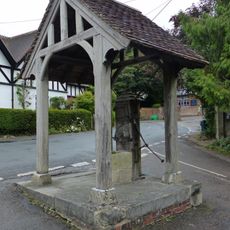
Village pump and pumphouse
147 m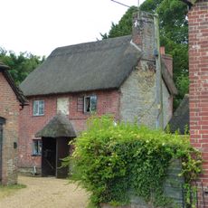
Sunnyside Cottage
207 m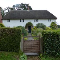
Spring Cottage
129 m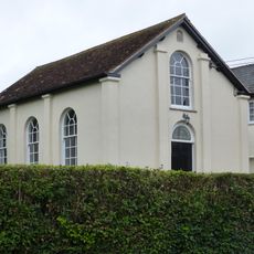
Abingdon Memorial Hall
170 m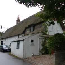
Dwell Deep and Dip Well
172 m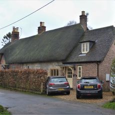
Pair of cottages approximately 5 m east of Sunnyside
179 m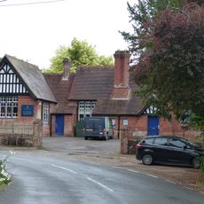
Primary School
107 m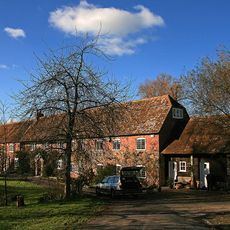
Oyles Mill and Mill House
978 m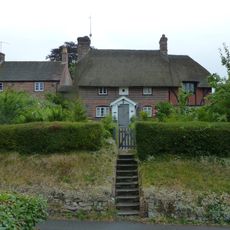
Noel Cottage
45 m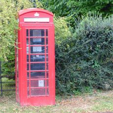
K6 Telephone Kiosk
185 m
Brook Cottage
122 m
Heddle House
121 m
Brookman's Farmhouse
205 m
Devine House
141 m
Home Farm Barn.
183 m
Oak House
50 m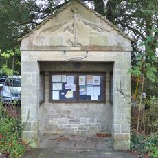
The War Office
139 m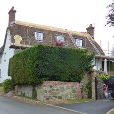
Tillhays
93 m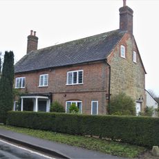
Bowhay
216 m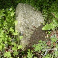
Milestone, 50m N of turning to Child Okeford
961 m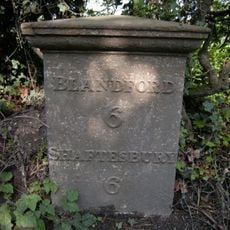
Milepost, S of village, 50m S of 30mph signs
747 mVous avez visité ce lieu ? Touchez les étoiles pour le noter et partager votre expérience ou vos photos avec la communauté ! Essayez maintenant ! Vous pouvez annuler à tout moment.
Trouvez des trésors cachés à chaque coin de rue !
Des petits cafés pittoresques aux points de vue planqués, fuyez la foule et dénichez les lieux qui vous ressemblent vraiment. Notre app vous facilite la vie : recherche vocale, filtres malins, itinéraires optimisés et bons plans partagés par des voyageurs du monde entier. Téléchargez vite pour vivre l'aventure en version mobile !

Une approche inédite de la découverte touristique❞
— Le Figaro
Tous les lieux qui valent la peine d'être explorés❞
— France Info
Une excursion sur mesure en quelques clics❞
— 20 Minutes