
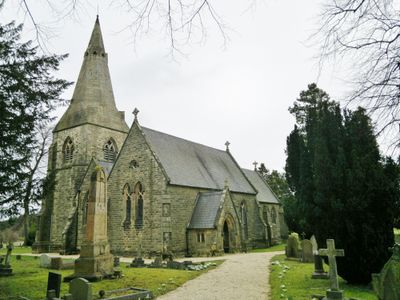
Holy Trinity Church, church building in Brackenfield, North East Derbyshire, Derbyshire, UK
Emplacement : Brackenfield
Coordonnées GPS : 53.12698,-1.44423
Dernière mise à jour : 10 mars 2025 à 23:09
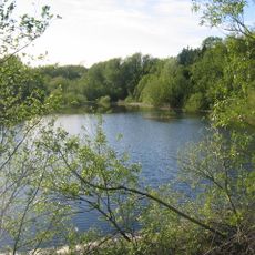
Ogston Reservoir
1.3 km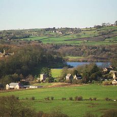
Ogston Hall
884 m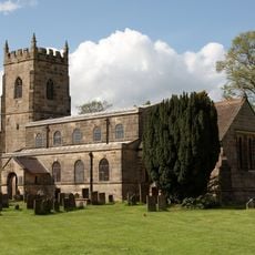
All Saints' Church, South Wingfield
3.4 km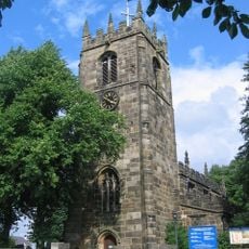
St Leonard's Church
2.7 km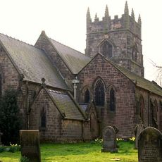
Church of Holy Cross
3.6 km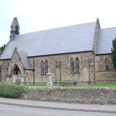
Christ Church
1.4 km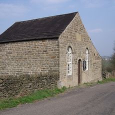
Ashover Hay Primitive Methodist Chapel
2.6 km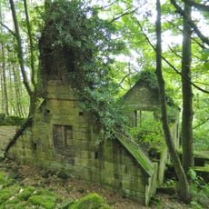
Ruins of Trinity Chapel
1.5 km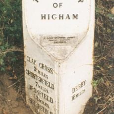
Mile Post 14 Metres North Of Quarry Farmhouse, Higham
1.8 km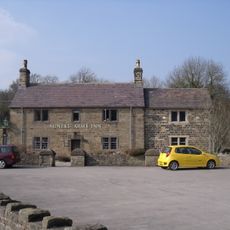
The Miners Arms Public House
3.3 km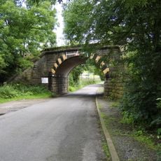
Amber Mill Bridge (Spc8 61)
2.6 km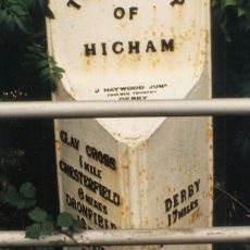
Mile Post Opposite Hilltop Farmhouse
2.8 km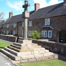
Village Cross, Higham
1.7 km
Stubben Edge Cottage
3.1 km
Dale Cottage Farmhouse
2.9 km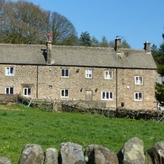
Clattercotes Farmhouse
2 km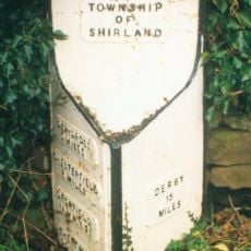
Mile Post 10 Metres South East Of Carr Hill Farmhouse
2.2 km
Ravensnest and attached farm buildings Ravensnest and The Beeches
3.7 km
Raven House
3 km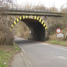
Railway Bridge To The South East Of Dale Bridge
3 km
Pound to the south of the Miners Arms
3.2 km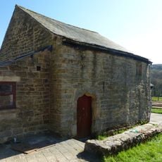
Outbuilding to the south of Clattercotes Farmhouse
2 km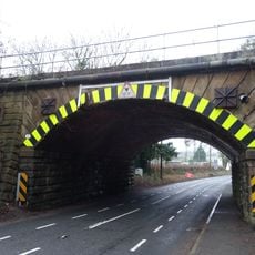
Railway Bridge South Of South Wingfield Stationmaster's House
3.6 km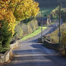
Three Bridges At Smithymoor Nr Stretton Station
2.8 km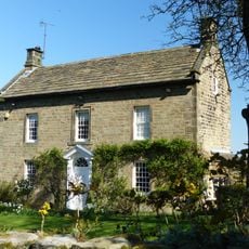
West View
2.4 km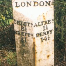
Milepost, roadside at SK404579
3.3 km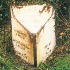
Milepost, S of Toadhole Furnace
3.1 km
Milestone, Reservoir Farm
3 kmVous avez visité ce lieu ? Touchez les étoiles pour le noter et partager votre expérience ou vos photos avec la communauté ! Essayez maintenant ! Vous pouvez annuler à tout moment.
Trouvez des trésors cachés à chaque coin de rue !
Des petits cafés pittoresques aux points de vue planqués, fuyez la foule et dénichez les lieux qui vous ressemblent vraiment. Notre app vous facilite la vie : recherche vocale, filtres malins, itinéraires optimisés et bons plans partagés par des voyageurs du monde entier. Téléchargez vite pour vivre l'aventure en version mobile !

Une approche inédite de la découverte touristique❞
— Le Figaro
Tous les lieux qui valent la peine d'être explorés❞
— France Info
Une excursion sur mesure en quelques clics❞
— 20 Minutes