
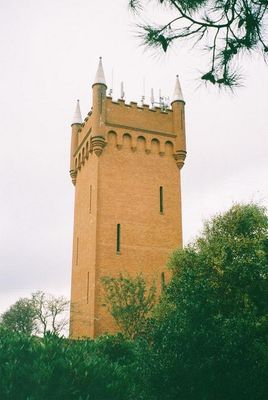
Water Tower, water tower in Southbourne, Bournemouth, Dorset, England, UK
Emplacement : Bournemouth, Christchurch and Poole
Coordonnées GPS : 50.72494,-1.80047
Dernière mise à jour : 9 mars 2025 à 08:53
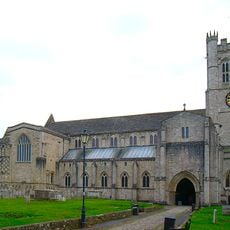
Prieuré de Christchurch
2 km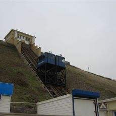
Fisherman's Walk Cliff Railway
1.3 km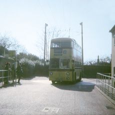
Christchurch trolleybus turntable
2 km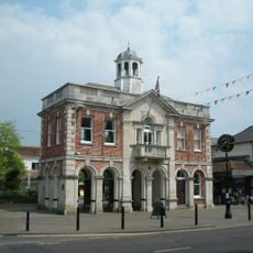
The Town Hall
2 km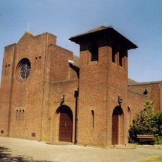
St Saviour's Church
1.9 km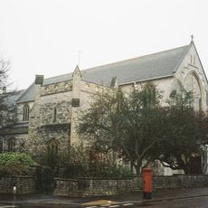
Church of All Saints
1.2 km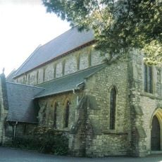
Church of St Katherine
602 m
9, Church Lane
1.9 km
Pokesdown United Reformed Church And Sunday School
1.5 km
Church of St James
1.7 km
United Reform Church Including Attached Sunday Schools. Railings To West Wing Of Church Building
2 km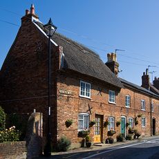
4, 6 ,7 and 8, Church Lane
1.9 km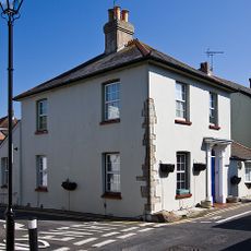
1, Church Lane
1.9 km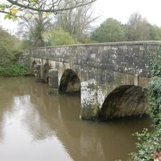
Iford Bridge
1.9 km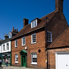
Splinters (Including Street Lamp Fixed To Wall)
2 km
Christchurch Library
1.9 km
Place Mill Bridge
2 km
Red House Museum
1.9 km
Place Mill
1.9 km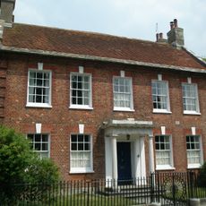
Church Hatch
2 km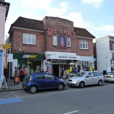
Regent Centre
1.9 km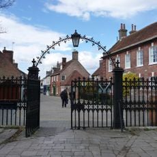
Gateway To Christchurch Churchyard
2 km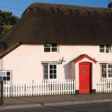
56, Sopers Lane
1.6 km
58 And 60, Sopers Lane
1.5 km
The Olde Barne
2 km
76, High Street
2 km
6 And 6A, Castle Street
2 km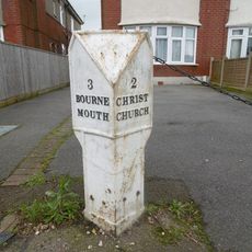
Milepost, Christchurch Rd, Pokesdown, by No. 1263
1.6 kmVous avez visité ce lieu ? Touchez les étoiles pour le noter et partager votre expérience ou vos photos avec la communauté ! Essayez maintenant ! Vous pouvez annuler à tout moment.
Trouvez des trésors cachés à chaque coin de rue !
Des petits cafés pittoresques aux points de vue planqués, fuyez la foule et dénichez les lieux qui vous ressemblent vraiment. Notre app vous facilite la vie : recherche vocale, filtres malins, itinéraires optimisés et bons plans partagés par des voyageurs du monde entier. Téléchargez vite pour vivre l'aventure en version mobile !

Une approche inédite de la découverte touristique❞
— Le Figaro
Tous les lieux qui valent la peine d'être explorés❞
— France Info
Une excursion sur mesure en quelques clics❞
— 20 Minutes