
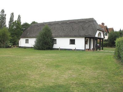
Ardeley Parish Hall, building in Ardeley, East Hertfordshire, Hertfordshire, UK
Emplacement : Ardeley
Coordonnées GPS : 51.92814,-0.09867
Dernière mise à jour : 8 mars 2025 à 12:25
Benington Castle
3.8 km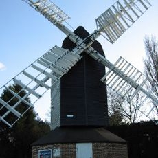
Cromer Windmill, Ardeley
1.5 km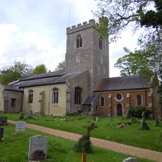
Church of the Holy Trinity
5 km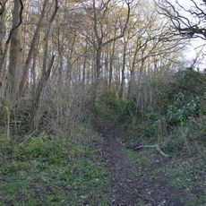
Benington High Wood
4.4 km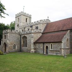
Parish Church of St Mary the Virgin
1.7 km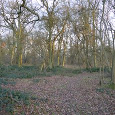
Moor Hall Meadows
2.3 km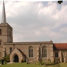
Parish Church of St John the Baptist
2.2 km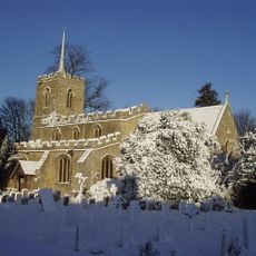
Parish Church of St Lawrence
84 m
Parish Church of St Peter, Benington
3.8 km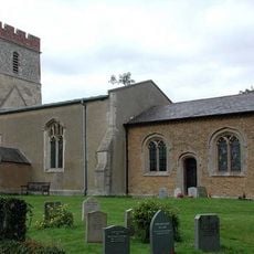
Church of St Mary
4.6 km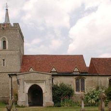
Parish Church of St Mary
4.7 km
Village Pump And Wellhouse (On Green 90 Metres To North Of Church)
30 m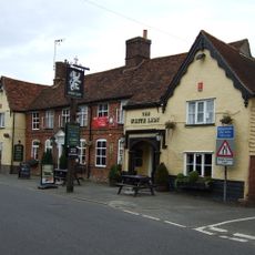
The White Lion Public House (On Corner Of Winters Lane)
2 km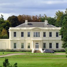
Aspenden Hall
4.6 km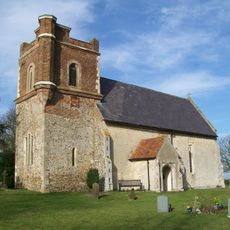
Holy Trinity Church
4.2 km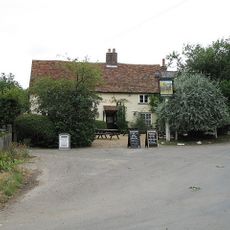
Rose Cottage and The Jolly Waggoner Public House
159 m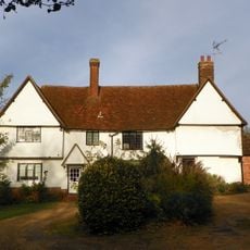
Chells Manor
4.6 km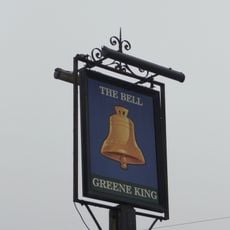
The Bell Public House
3.8 km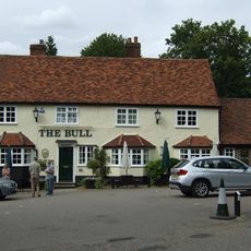
The Bull Public House
2.5 km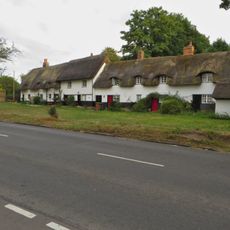
Home Close Cottages
2.4 km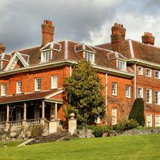
Benington Lordship
3.8 km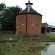
Dovecote At Manor Farm (30 Metres To South Of House)
2 km
Walkern Free Church (United Reformed Methodist)
1.9 km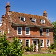
Farmhouse At Manor Farm
2 km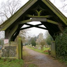
Lych Gate At St Peter's Church (100 Metres To East North East Of Chancel)
3.7 km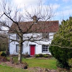
The Place
2.2 km
The Town House
2.2 km
Farmhouse At Chapel Farm Including Former Congregational Chapel
2.5 kmAvis
Vous avez visité ce lieu ? Touchez les étoiles pour le noter et partager votre expérience ou vos photos avec la communauté ! Essayez maintenant ! Vous pouvez annuler à tout moment.
Trouvez des trésors cachés à chaque coin de rue !
Des petits cafés pittoresques aux points de vue planqués, fuyez la foule et dénichez les lieux qui vous ressemblent vraiment. Notre app vous facilite la vie : recherche vocale, filtres malins, itinéraires optimisés et bons plans partagés par des voyageurs du monde entier. Téléchargez vite pour vivre l'aventure en version mobile !

Une approche inédite de la découverte touristique❞
— Le Figaro
Tous les lieux qui valent la peine d'être explorés❞
— France Info
Une excursion sur mesure en quelques clics❞
— 20 Minutes