
Beam Aqueduct, bridge in Torridge, Devon, UK
Emplacement : Great Torrington
Emplacement : Monkleigh
Création : 1824
Architectes : James Green
Coordonnées GPS : 50.96740,-4.17509
Dernière mise à jour : 10 mars 2025 à 15:50

Annery, Monkleigh
2.2 km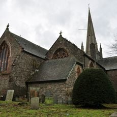
Church of St Michael and All Angels, Great Torrington
2.7 km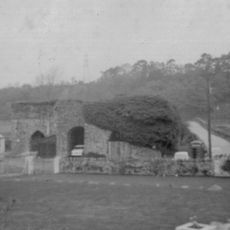
Annery kiln
2.2 km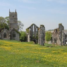
Frithelstock Priory
1.7 km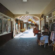
Pannier Market
2.9 km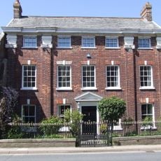
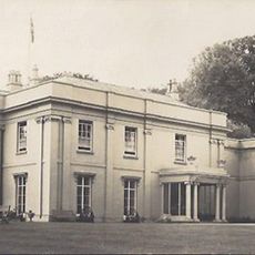
Palmer House
2.7 km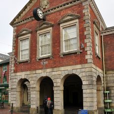
Town Hall
2.8 km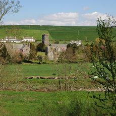
Weare Giffard Hall
1.4 km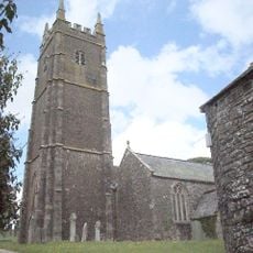
Church of St George
1.6 km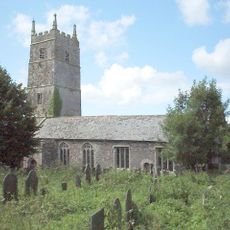
Church of St Mary and St Gregory
1.7 km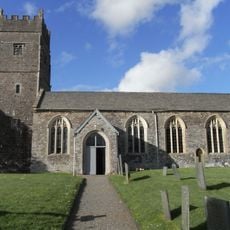
Church of the Holy Trinity
1.4 km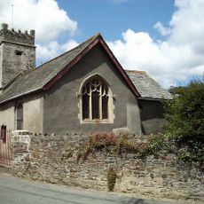
Chapel Of St Mary Magdalene
2.7 km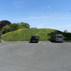
Torrington Castle
3 km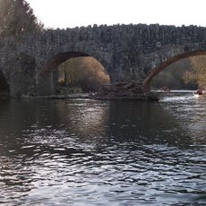
Taddiport Bridge
2.6 km
Ruins of Priory Church
1.7 km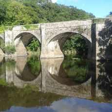
Rothern Bridge
1.3 km
Berry Castle hillfort in Huntshaw Wood
2.5 km
Cottage At Ss47902152 Attached To Marshbrook Cottage
817 m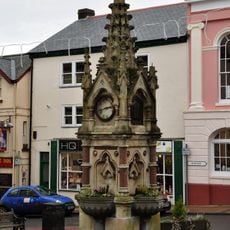
Fountain In Centre Of Road At South End
2.8 km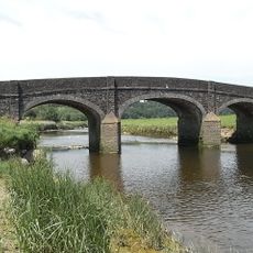
Halfpenny Bridge
2.3 km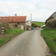
Outbuilding Approx One M E Of Netherdowns Farmhouse
2.5 km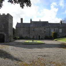
Gatehouse Approx 15m To Se Of Weare Giffard Hall
1.4 km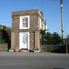
The Toll House (Former)
2.6 km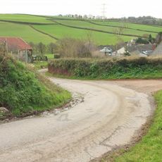
Dwelling Now Outbuilding Approx 50M E Of Netherdowns Farmhouse
2.5 km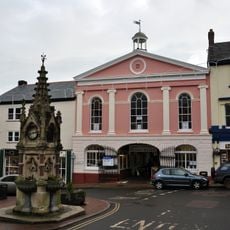
Market House
2.9 km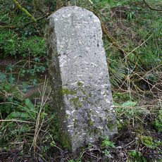
Milestone, Tanton's Plain, 200m N of road constriction
2.2 km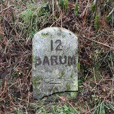
Milestone, 200m N of Huntshaw Mill Bridge
2.6 km
Milestone, N of Furze Farm
2 kmVous avez visité ce lieu ? Touchez les étoiles pour le noter et partager votre expérience ou vos photos avec la communauté ! Essayez maintenant ! Vous pouvez annuler à tout moment.
Trouvez des trésors cachés à chaque coin de rue !
Des petits cafés pittoresques aux points de vue planqués, fuyez la foule et dénichez les lieux qui vous ressemblent vraiment. Notre app vous facilite la vie : recherche vocale, filtres malins, itinéraires optimisés et bons plans partagés par des voyageurs du monde entier. Téléchargez vite pour vivre l'aventure en version mobile !

Une approche inédite de la découverte touristique❞
— Le Figaro
Tous les lieux qui valent la peine d'être explorés❞
— France Info
Une excursion sur mesure en quelques clics❞
— 20 Minutes