
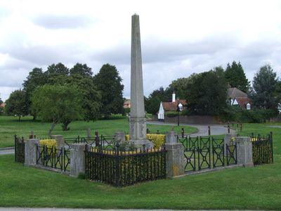
War Memorial, war memorial in Redbourn, St. Albans, Hertfordshire, UK
Emplacement : Redbourn
Création : 13 juin 1920
Coordonnées GPS : 51.79660,-0.39712
Dernière mise à jour : 3 mars 2025 à 03:29
St Nicholas Church, Harpenden
3.5 km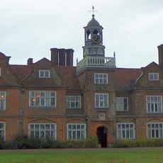
Rothamsted Manor
2.2 km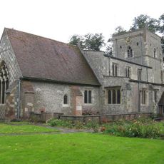
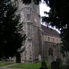
Parish Church of St Mary
827 m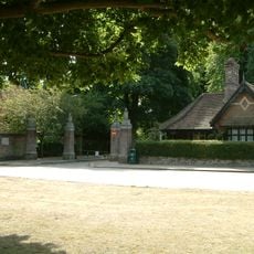
Rothamsted Park
3 km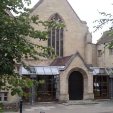
The Harpenden Methodist Church
3.6 km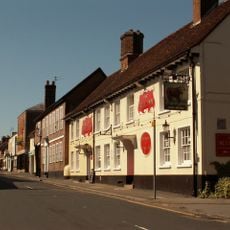
The Bull Inn
274 m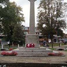
War Memorial
3.5 km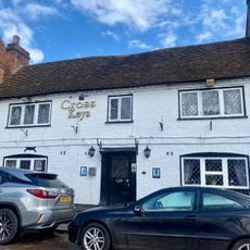
The Cross Keys Public House
3.6 km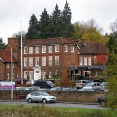
Moat House Hotel
3.6 km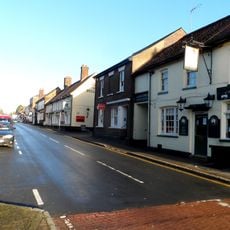
The George Public House
251 m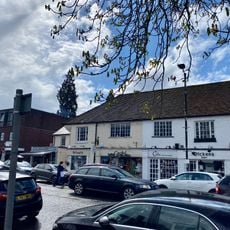
66, 68, 68A And 79, High Street
3.6 km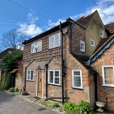
Bowers House
3.6 km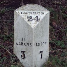
Mile Post Opposite Beeson Mill Lane
3.2 km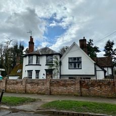
The Old House
3.4 km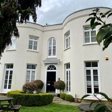
Wellington House
3.5 km
72 And 72A, High Street
3.6 km
69, High Street
3.6 km
Roman Catholic Church of Our Lady of Lourdes, and associated gate piers and railings
3.4 km
41, High Street
3.6 km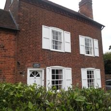
The Cedars
3.6 km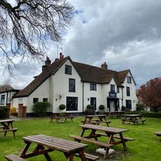
Bennets
3.4 km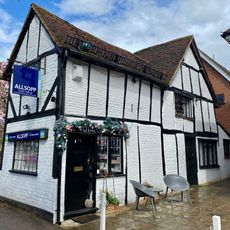
71, 71A And 73, High Street
3.6 km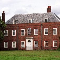
Cumberland House, Including Front Wall And Railings
167 m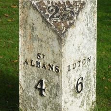
Milepost, St Albans Road, opp. West Common
3.3 km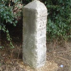
Milestone, St Albans Road, 100m N of jct Punchbowl Lane
2.1 km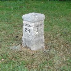
Milestone, St Albans Road, roundabout at jct High Street
350 m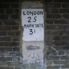
Milestone, Dunstable Road, opp. Bylands House
1.2 km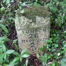
Milestone, Dunstable Road, Whitehill wood, 300m E of M1 jct 9
2.7 kmAvis
Vous avez visité ce lieu ? Touchez les étoiles pour le noter et partager votre expérience ou vos photos avec la communauté ! Essayez maintenant ! Vous pouvez annuler à tout moment.
Trouvez des trésors cachés à chaque coin de rue !
Des petits cafés pittoresques aux points de vue planqués, fuyez la foule et dénichez les lieux qui vous ressemblent vraiment. Notre app vous facilite la vie : recherche vocale, filtres malins, itinéraires optimisés et bons plans partagés par des voyageurs du monde entier. Téléchargez vite pour vivre l'aventure en version mobile !

Une approche inédite de la découverte touristique❞
— Le Figaro
Tous les lieux qui valent la peine d'être explorés❞
— France Info
Une excursion sur mesure en quelques clics❞
— 20 Minutes