
Rock Farmhouse, farmhouse in East Malling and Larkfield, Tonbridge and Malling, Kent, UK
Emplacement : East Malling and Larkfield
Coordonnées GPS : 51.28335,0.44210
Dernière mise à jour : 11 mars 2025 à 11:00
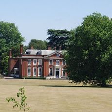
Bradbourne House
1.3 km
Oaken Wood
1.9 km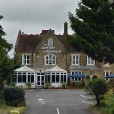
Larkfield Priory Hotel
1.8 km
Church of St James
461 m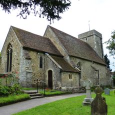
St Peter's Church
1.5 km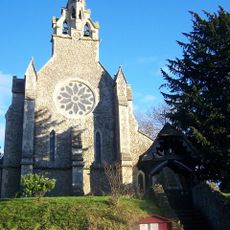
Church of the Holy Trinity
2.6 km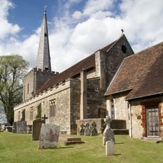
Parish Church of St Mary the Virgin
2.7 km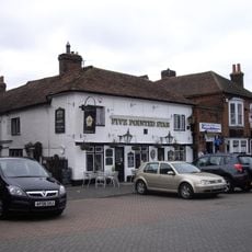
Five Pointed Star Public House
2.6 km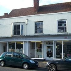
West Malling Library
2.7 km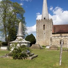
Church of St Mary Honymood Monument Approximately 20 Metres South Of South Aisle
2.7 km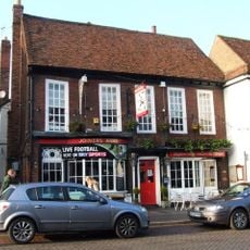
The Joiners Arms Public House
2.6 km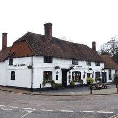
The King And Queen Public House
537 m
The Bull Public House
2.7 km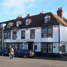
Bear Hotel
2.6 km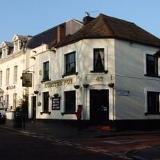
The Lobster Pot
2.5 km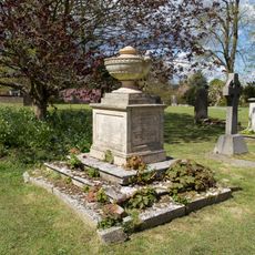
Church of St Mary Monument Approximately 25 Metres South Of Nave
2.7 km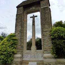
Ditton War Memorial
1.9 km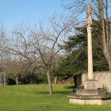
East Malling War Memorial
519 m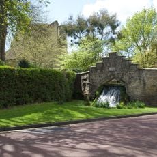
The Cascade
2.4 km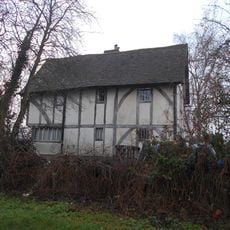
The Barracks
1 km
Aylesford Signal Box
2.6 km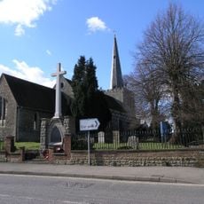
West Malling War Memorial
2.6 km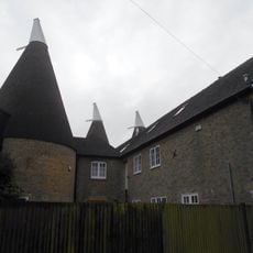
Broadwater Farm Oasthouses
1.6 km
Milepost At Ngr Tq6998558314
1.7 km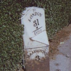
Milepost On A20 London Road At Ditton, Kent
2 km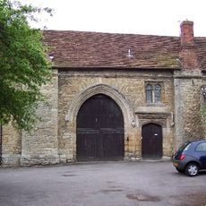
Gatehouse And Chapel To St Mary's Abbey
2.4 km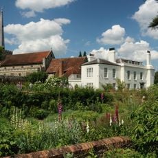
Brome House
2.6 km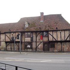
The Wealden Hall Restaurant
1.7 kmAvis
Vous avez visité ce lieu ? Touchez les étoiles pour le noter et partager votre expérience ou vos photos avec la communauté ! Essayez maintenant ! Vous pouvez annuler à tout moment.
Trouvez des trésors cachés à chaque coin de rue !
Des petits cafés pittoresques aux points de vue planqués, fuyez la foule et dénichez les lieux qui vous ressemblent vraiment. Notre app vous facilite la vie : recherche vocale, filtres malins, itinéraires optimisés et bons plans partagés par des voyageurs du monde entier. Téléchargez vite pour vivre l'aventure en version mobile !

Une approche inédite de la découverte touristique❞
— Le Figaro
Tous les lieux qui valent la peine d'être explorés❞
— France Info
Une excursion sur mesure en quelques clics❞
— 20 Minutes