
Roadside Wall From Grange Farm To Sopers Row, wall in Old Basing and Lychpit, Basingstoke and Deane, Hampshire, UK
Emplacement : Old Basing and Lychpit
Coordonnées GPS : 51.27013,-1.05293
Dernière mise à jour : 16 mars 2025 à 00:07
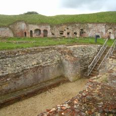
Basing House
60 m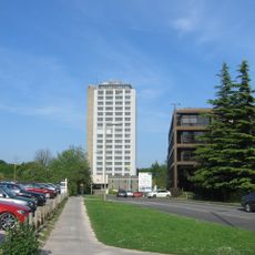
Fanum House
1.3 km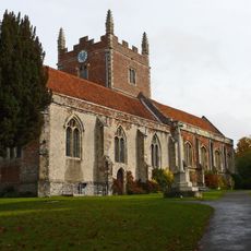
Church of St Mary, Old Basing
461 m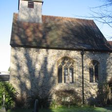
Church of St Mary
2.1 km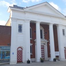
United Reformed Church
2.4 km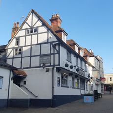
The Feathers Public House
2.5 km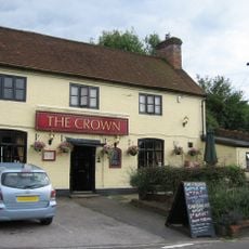
The Crown Public House
141 m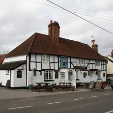
The Bolton Arms Public House
791 m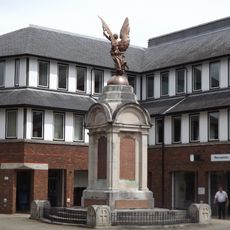
Basingstoke War Memorial
2.3 km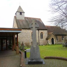
St Mary's Church War Memorial Cross, Basingstoke
2.1 km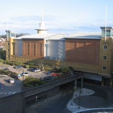
Vue Basingstoke
2.2 km
The Red Lion Public House
2.4 km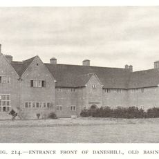
Daneshill House
1.3 km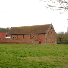
Tithe Barn
60 m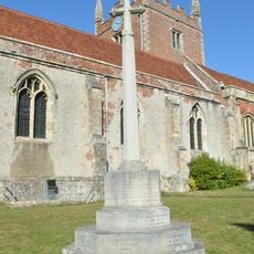
Old Basing War Memorial
437 m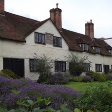
Deanes Almshouses
2.4 km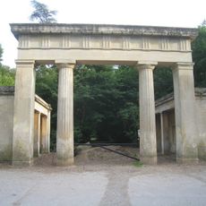
Lodges And Gateway To Hatchwood (New) Park*
866 m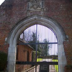
Gateway
101 m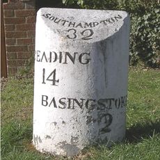
Milestone
2.2 km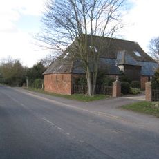
Parker's Piece Barn
474 m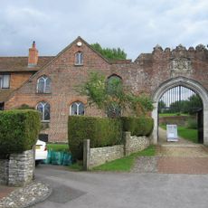
Wall And House (No.6 The Street) Attached To The Gateway On Its East Side*
112 m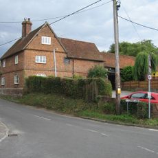
Malthouse
179 m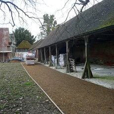
Cartshed And Outbuildings
92 m
Grange Farmhouse
57 m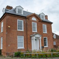
Chineham House
2 km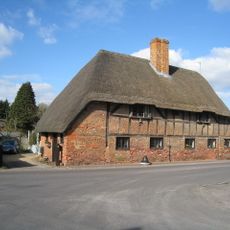
9,11, The Street
171 m
Milestone On A30/A303 At Approximately Ngr 649 520
1.5 km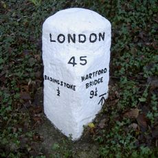
Milestone, Eastrop Park
1.5 kmAvis
Vous avez visité ce lieu ? Touchez les étoiles pour le noter et partager votre expérience ou vos photos avec la communauté ! Essayez maintenant ! Vous pouvez annuler à tout moment.
Trouvez des trésors cachés à chaque coin de rue !
Des petits cafés pittoresques aux points de vue planqués, fuyez la foule et dénichez les lieux qui vous ressemblent vraiment. Notre app vous facilite la vie : recherche vocale, filtres malins, itinéraires optimisés et bons plans partagés par des voyageurs du monde entier. Téléchargez vite pour vivre l'aventure en version mobile !

Une approche inédite de la découverte touristique❞
— Le Figaro
Tous les lieux qui valent la peine d'être explorés❞
— France Info
Une excursion sur mesure en quelques clics❞
— 20 Minutes