
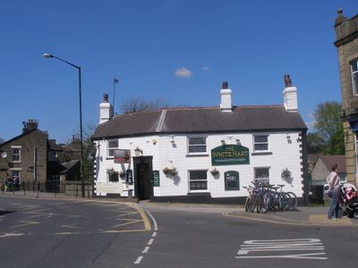
White Hart Public House, pub in Whaley Bridge, High Peak, Derbyshire, UK
Emplacement : Whaley Bridge
Coordonnées GPS : 53.32887,-1.98329
Dernière mise à jour : 12 mars 2025 à 00:12

Bugsworth Basin
1.2 km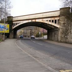
Railway Bridge
185 m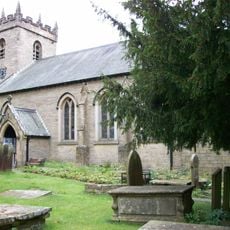
St James' Church
1.6 km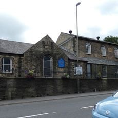
Methodist Church And Sunday School
132 m
Church of St James
1.3 km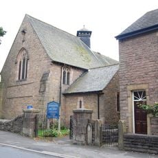
Holy Trinity Church
498 m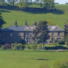
Ollerenshaw Hall
1.5 km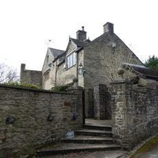
Bugsworth Hall
1.2 km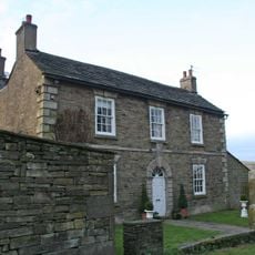
Gap House
1.9 km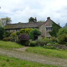
Hockerley Hall Farmhouse
875 m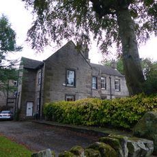
Yeardsley Hall
1.8 km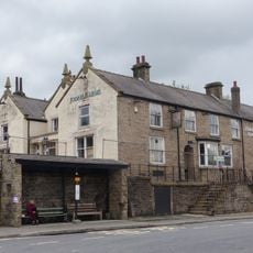
Jodrell Arms Hotel
182 m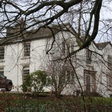
Taxal Rectory
1.7 km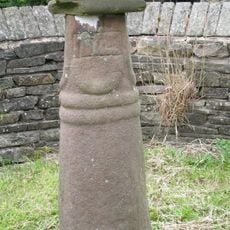
Anglo Scandinavian high cross known as the Shall Cross
1.7 km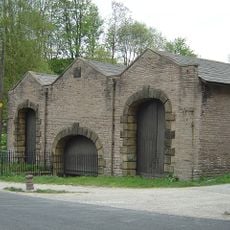
Canal Warehouse at end of Peak Forest Canal
293 m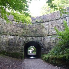
Peak Forest Canal Horse Tunnel, Buxworth Arm
954 m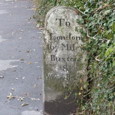
Milestone near Crescent Drive
1.5 km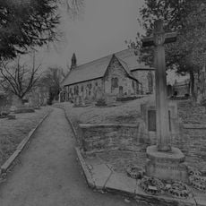
Buxworth War Memorial
1.3 km
Buxworth Canal Basin. Stables to east of Wharfinger's House
1 km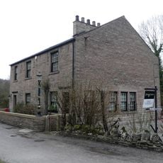
Buxworth Canal Basin. Wharfinger's House and office
1 km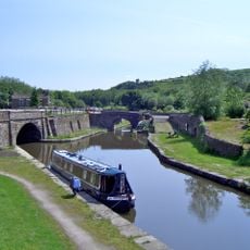
Bugsworth canal basin, tramway, quarry and limekilns
1.3 km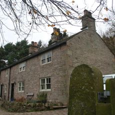
New House Farmhouse
1.8 km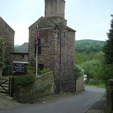
Disused Colliery Air Shaft Tower
184 m
Wayside and boundary cross known as The Dipping Stone
1.7 km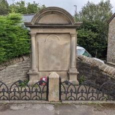
Bridgemont War Memorial
1.2 km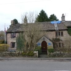
Brierley Green Farmhouse and Barn
1.8 km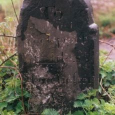
Milestone, Chapel Road; E of Whaley Bridge
1.2 km
Milestone, bridge over River Goyt
10 mVous avez visité ce lieu ? Touchez les étoiles pour le noter et partager votre expérience ou vos photos avec la communauté ! Essayez maintenant ! Vous pouvez annuler à tout moment.
Trouvez des trésors cachés à chaque coin de rue !
Des petits cafés pittoresques aux points de vue planqués, fuyez la foule et dénichez les lieux qui vous ressemblent vraiment. Notre app vous facilite la vie : recherche vocale, filtres malins, itinéraires optimisés et bons plans partagés par des voyageurs du monde entier. Téléchargez vite pour vivre l'aventure en version mobile !

Une approche inédite de la découverte touristique❞
— Le Figaro
Tous les lieux qui valent la peine d'être explorés❞
— France Info
Une excursion sur mesure en quelques clics❞
— 20 Minutes