
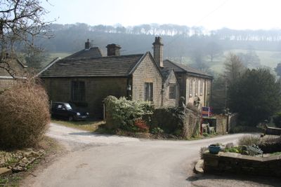
Ford Hall, house in Chapel-en-le-Frith, High Peak, Derbyshire, UK
Emplacement : Chapel-en-le-Frith
Coordonnées GPS : 53.33730,-1.88707
Dernière mise à jour : 5 mars 2025 à 00:27
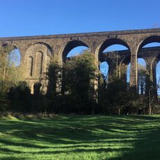
Chapel Milton Viaduct
2.1 km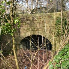
Stodhart Tunnel
2.1 km
Church of St Thomas of Canterbury
2.3 km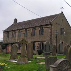
Chinley Independent Chapel
2.1 km
Townend Methodist Church
2 km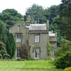
Bowden Hall
1 km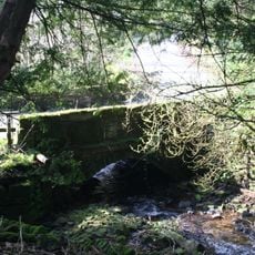
Ford Hall Bridge
68 m
Gate piers, railings and gates to south of Church of St Thomas Becket
2.4 km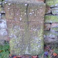
Tombstone at Friends Burial Ground 4.5 metres north of Chestnut Farmhouse
341 m
Standing cross in the churchyard of St Thomas Becket Church
2.4 km
Trout Beck
1.8 km
Hearse House
2.3 km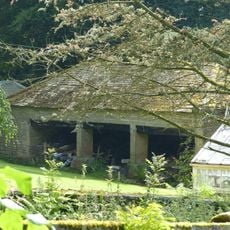
Cartshed to north west of Bowden Hall
1 km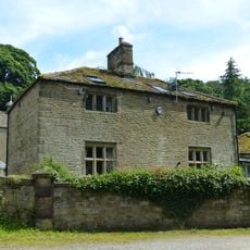
The Smithy
1 km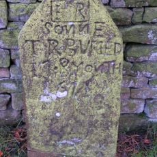
Tombstone at Friends Burial Ground four Metres North of Chestnut Farmhouse
342 m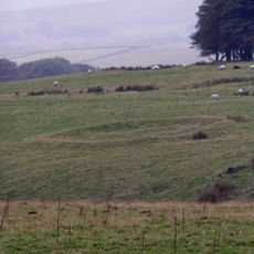
Green Low ringcairn
1.1 km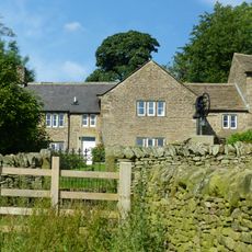
Bowden Head Farmhouse
736 m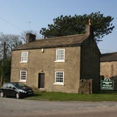
Chestnut Farmhouse
351 m
Slack Hall
853 m
Shireoaks Farmhouse
1.1 km
Barn At Malcoff Farm
633 m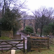
Rushup Hall
1.9 km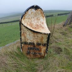
Milepost 230 Metres From Rushop Lane Junction
1.8 km
Anglo Scandinavian high cross in the churchyard of St Thomas Becket Church
2.4 km
Stabling at Bowden Hall
991 m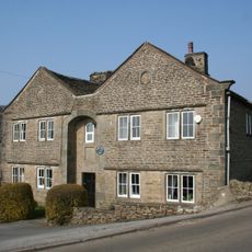
Slackhall Farmhouse
389 m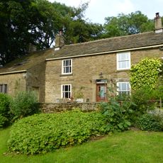
Malcoff Farmhouse
667 m
Slack House Farmhouse And Barn
1.9 kmAvis
Vous avez visité ce lieu ? Touchez les étoiles pour le noter et partager votre expérience ou vos photos avec la communauté ! Essayez maintenant ! Vous pouvez annuler à tout moment.
Trouvez des trésors cachés à chaque coin de rue !
Des petits cafés pittoresques aux points de vue planqués, fuyez la foule et dénichez les lieux qui vous ressemblent vraiment. Notre app vous facilite la vie : recherche vocale, filtres malins, itinéraires optimisés et bons plans partagés par des voyageurs du monde entier. Téléchargez vite pour vivre l'aventure en version mobile !

Une approche inédite de la découverte touristique❞
— Le Figaro
Tous les lieux qui valent la peine d'être explorés❞
— France Info
Une excursion sur mesure en quelques clics❞
— 20 Minutes