
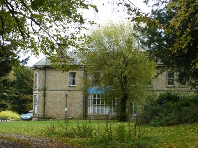
Bank Hall, house in Chapel-en-le-Frith, High Peak, Derbyshire, UK
Emplacement : Chapel-en-le-Frith
Coordonnées GPS : 53.30671,-1.92444
Dernière mise à jour : 3 mars 2025 à 07:57

Church of St Thomas of Canterbury
2.1 km
The Royal Oak Inn
1.9 km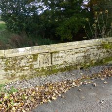
Bridge on Bank Hall Drive adjacent to Down Lee Farm
772 m
Gate piers, railings and gates to south of Church of St Thomas Becket
2 km
Hollinknoll Gates And Gate Piers
1.1 km
Hollinknoll
1.1 km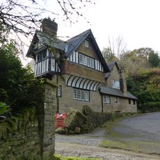
Bank Hall Lodge
552 m
Standing cross in the churchyard of St Thomas Becket Church
2 km
War Memorial
1.9 km
Promontory fort on Combs Edge
501 m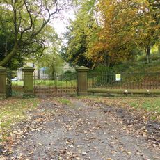
Gates, gate piers and screen to Bank Hall
67 m
Williams And Glynn's Bank
1.9 km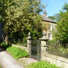
Old Brook House
933 m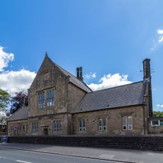
Primary School
1.8 km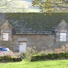
Barn Two Metres South West Of Martinside
1.7 km
Market Cross
1.9 km
22, Market Place
2 km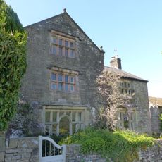
Spire Hollins and attached outbuildings
1.7 km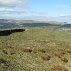
Lady Low barrow
1.6 km
Village Stocks
2 km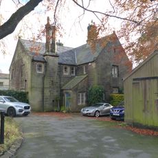
The Vicarage
1.8 km
Cow Low bowl barrow
1.4 km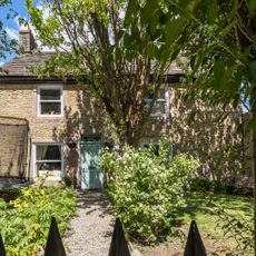
16, High Street
1.9 km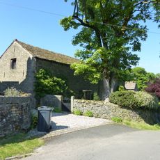
Barn at Spire Hollins Farmhouse
1.7 km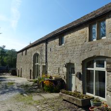
Barn At Brook House Farm
932 m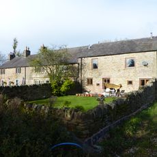
Marsh Hall And Barn
1.1 km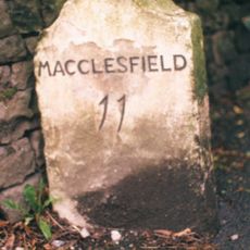
Milestone, Lower Crossing, one mile W of Townend
1.5 km
Combs Reservoir
1.6 kmVous avez visité ce lieu ? Touchez les étoiles pour le noter et partager votre expérience ou vos photos avec la communauté ! Essayez maintenant ! Vous pouvez annuler à tout moment.
Trouvez des trésors cachés à chaque coin de rue !
Des petits cafés pittoresques aux points de vue planqués, fuyez la foule et dénichez les lieux qui vous ressemblent vraiment. Notre app vous facilite la vie : recherche vocale, filtres malins, itinéraires optimisés et bons plans partagés par des voyageurs du monde entier. Téléchargez vite pour vivre l'aventure en version mobile !

Une approche inédite de la découverte touristique❞
— Le Figaro
Tous les lieux qui valent la peine d'être explorés❞
— France Info
Une excursion sur mesure en quelques clics❞
— 20 Minutes