
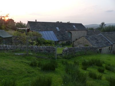
Barn Opposite Fold Farmhouse, farmhouse in Chisworth, High Peak, Derbyshire, UK
Emplacement : Chisworth
Coordonnées GPS : 53.42173,-2.00681
Dernière mise à jour : 9 mars 2025 à 05:36
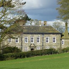
Mellor Hall
2.6 km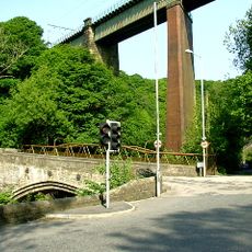
Broadbottom Viaduct
2.1 km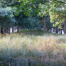
Brown Low
1.1 km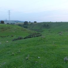
Ludworth Intake
547 m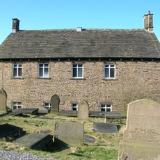
Independent Chapel
1.8 km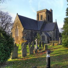
Church of St John the Evangelist
1.5 km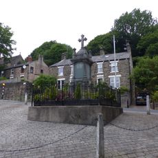
War memorial and railings
2.3 km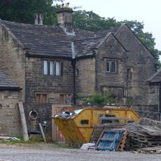
Broadbottom Hall
2 km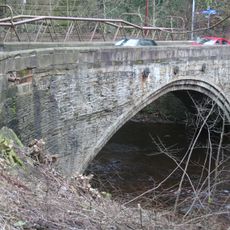
Broadbottom Bridge
2.1 km
Pear Tree Farmhouse
2.7 km
Botham's Hall
1.9 km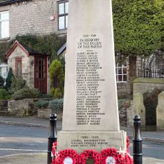
Charlesworth War Memorial
1.6 km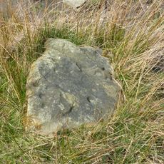
Cup-marked stone 80m east of Robin Hood's Picking Rods
1.3 km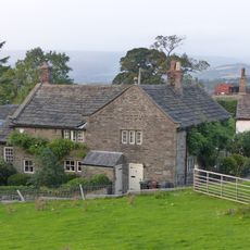
Fold Farmhouse
74 m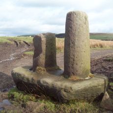
Robin Hood's Picking Rods
1.2 km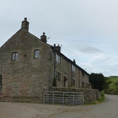
Sandy Lane Farmhouse
617 m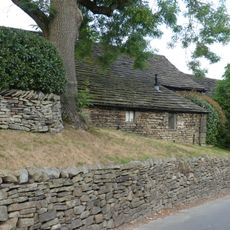
Barn at Pear Tree Farm
2.7 km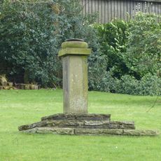
Sundial At Mellor Hall
2.7 km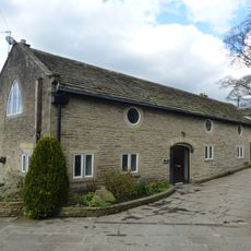
Outbuilding to west of Mellor Hall and north of barn
2.6 km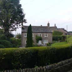
Thornlea Farmhouse
52 m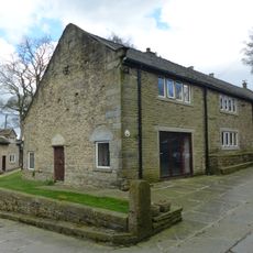
Barn to south west of Mellor Hall
2.6 km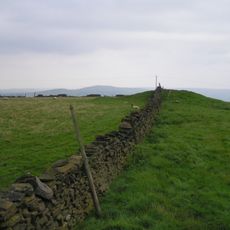
Cairn on Ludworth Intakes
750 m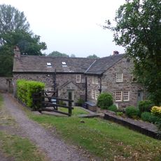
Rivendell Farmhouse and attached cottage
1.6 km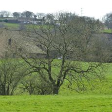
Barn at Hollins Farm
2.8 km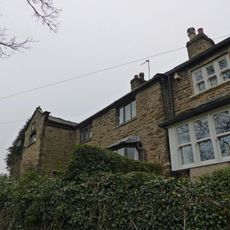
30 and 32, Mill Brow
2.6 km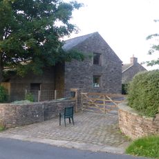
Hilltop Farmhouse
235 m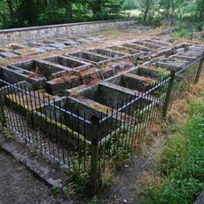
Stone Bleaching Baths
2 km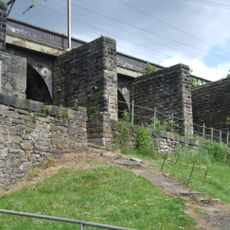
Mottram Arches
2.1 kmAvis
Vous avez visité ce lieu ? Touchez les étoiles pour le noter et partager votre expérience ou vos photos avec la communauté ! Essayez maintenant ! Vous pouvez annuler à tout moment.
Trouvez des trésors cachés à chaque coin de rue !
Des petits cafés pittoresques aux points de vue planqués, fuyez la foule et dénichez les lieux qui vous ressemblent vraiment. Notre app vous facilite la vie : recherche vocale, filtres malins, itinéraires optimisés et bons plans partagés par des voyageurs du monde entier. Téléchargez vite pour vivre l'aventure en version mobile !

Une approche inédite de la découverte touristique❞
— Le Figaro
Tous les lieux qui valent la peine d'être explorés❞
— France Info
Une excursion sur mesure en quelques clics❞
— 20 Minutes