
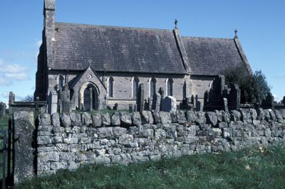
Church of St Cuthbert, church building in Nether Denton, Carlisle, Cumbria, UK
Emplacement : Nether Denton
Coordonnées GPS : 54.97441,-2.63449
Dernière mise à jour : 17 mars 2025 à 20:09
Frontières de l’Empire romain
2.9 km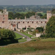
Château de Naworth
4 km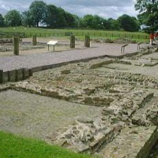
Banna
2.6 km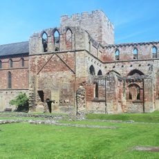
Prieuré de Lanercost
4 km
Hadrian's Wall
2.7 km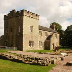
Birdoswald
2.6 km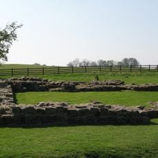
Milecastle 49
3.1 km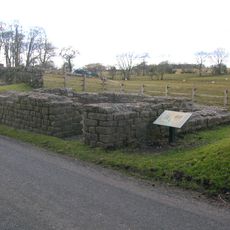
Leahill Turret
1.2 km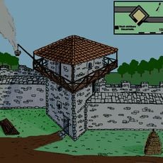
Pike Hill Signal Tower
1.8 km
Milecastle 52
1.6 km
Milecastle 50
1.8 km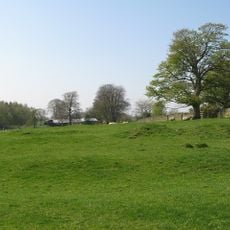
Milecastle 51
907 m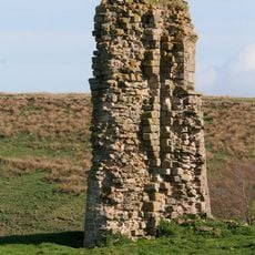
Triermain Castle
2.2 km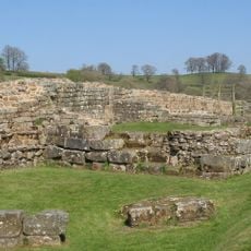
Willowford Bridge
3.3 km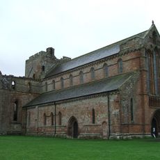
St Mary Magdalene
4 km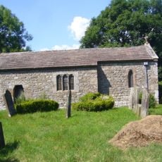
St Cuthbert's church, Upper Denton
2.3 km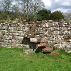
Walls to the North of Lanercost Priory
4 km
The Hill
3.7 km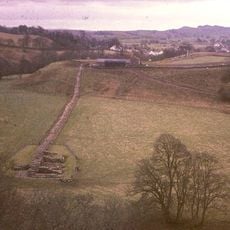
Hadrian's Wall and vallum and their associated features between Poltross Burn and the River Irthing in wall mile 48
3.8 km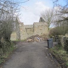
Bastle at Upper Denton
2.3 km
Hadrian's Wall and vallum between the field boundary west of Coombe Crag and Banks Green Cottage and the road to Lanercost at Banks in wall miles 51 and 52
1.5 km
Northrigghill
2.2 km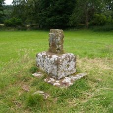
Cross Base North West of Lanercost Priory
4 km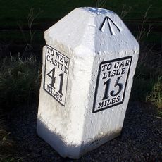
Milestone West Of At Temon Bridge At Ngr Ny 6080 63660
1.8 km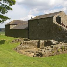
Farmbuildings Situated 30 Metres North North West Of Birdoswald Farmhouse Or Tenement
2.6 km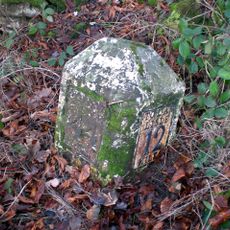
Milestone At Ngr Ny 56690 61990
3.8 km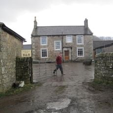
Willowford And Adjoining Farm Buildings
3.5 km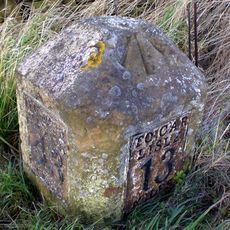
Milestone At Ngr Ny58130 62460
2.5 kmVous avez visité ce lieu ? Touchez les étoiles pour le noter et partager votre expérience ou vos photos avec la communauté ! Essayez maintenant ! Vous pouvez annuler à tout moment.
Trouvez des trésors cachés à chaque coin de rue !
Des petits cafés pittoresques aux points de vue planqués, fuyez la foule et dénichez les lieux qui vous ressemblent vraiment. Notre app vous facilite la vie : recherche vocale, filtres malins, itinéraires optimisés et bons plans partagés par des voyageurs du monde entier. Téléchargez vite pour vivre l'aventure en version mobile !

Une approche inédite de la découverte touristique❞
— Le Figaro
Tous les lieux qui valent la peine d'être explorés❞
— France Info
Une excursion sur mesure en quelques clics❞
— 20 Minutes