
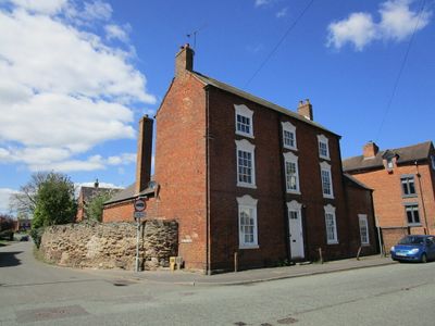
Lodge Farmhouse, farmhouse in Kegworth, North West Leicestershire, Leicestershire, UK
Emplacement : Kegworth
Coordonnées GPS : 52.83366,-1.27744
Dernière mise à jour : 6 mars 2025 à 03:49
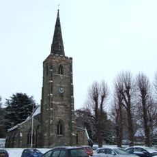
St. Michael's Church, Sutton Bonington
2 km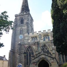
Church of St Andrew
228 m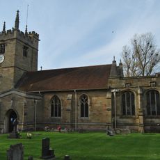
St. Winifred's Church, Kingston on Soar
1.9 km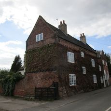
Number 143 And Attached Cottage And Chapel
1.8 km
Cottage Restaurant
304 m
The White House And Attached Wall And Railings
1.8 km
Kegworth Heritage Centre
341 m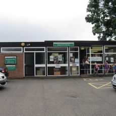
Kegworth Library
387 m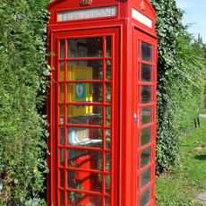
K6 Telephone Kiosk
1.8 km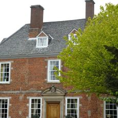
The Hall
2.1 km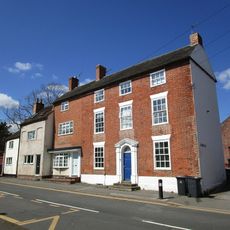
Flat 1 Flat 2 Flat 3
378 m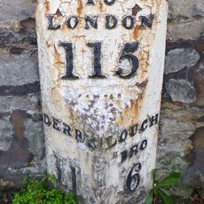
Milepost Opposite Junction With Borough Street
334 m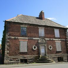
The Great House
141 m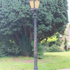
Lamp Post Approximately 5 Metres South Of Porch Of Church Of St Andrew
220 m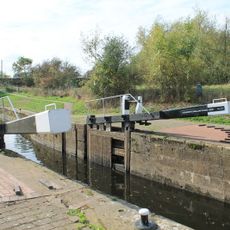
Kegworth Shallow Lock
1 km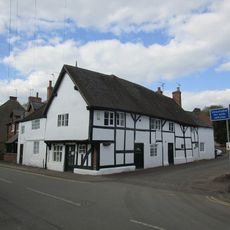
92A, Main Street
2 km
Harrison House
268 m
Number 118 And Attached Outbuilding
1.9 km
21, 23, 25 And 27, The Green
1.9 km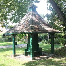
Pumphouse
1.9 km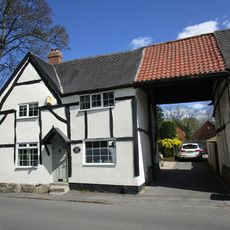
8, Nottingham Road
228 m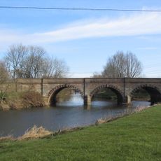
Kegworth Bridge
931 m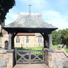
Lychgate At Entrance To Churchyard Of Church Of St Winifred
1.9 km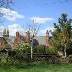
9, 11, 15, 17 And 19, The Green
1.9 km
Old Lock River Soar
519 m
20, Market Place
180 m
The Cedars
38 m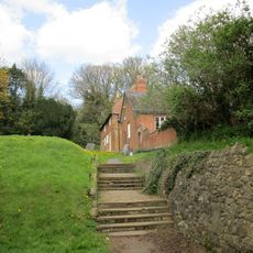
Old School House And Attached Outbuildings,
2 kmVous avez visité ce lieu ? Touchez les étoiles pour le noter et partager votre expérience ou vos photos avec la communauté ! Essayez maintenant ! Vous pouvez annuler à tout moment.
Trouvez des trésors cachés à chaque coin de rue !
Des petits cafés pittoresques aux points de vue planqués, fuyez la foule et dénichez les lieux qui vous ressemblent vraiment. Notre app vous facilite la vie : recherche vocale, filtres malins, itinéraires optimisés et bons plans partagés par des voyageurs du monde entier. Téléchargez vite pour vivre l'aventure en version mobile !

Une approche inédite de la découverte touristique❞
— Le Figaro
Tous les lieux qui valent la peine d'être explorés❞
— France Info
Une excursion sur mesure en quelques clics❞
— 20 Minutes