
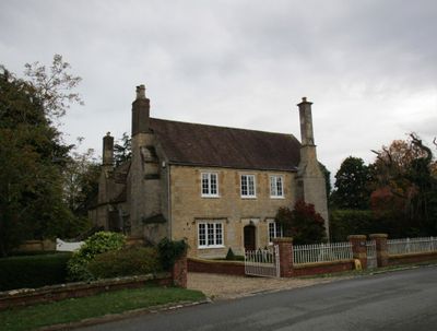
Middle Farmhouse, farmhouse in Ashton under Hill, Wychavon, Worcestershire, UK
Emplacement : Ashton under Hill
Coordonnées GPS : 52.03697,-2.00493
Dernière mise à jour : 5 mars 2025 à 10:07
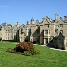
Dumbleton Hall
2.5 km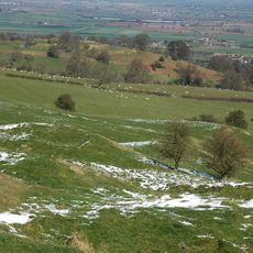
Elmley Castle
3.3 km
Alderton Hill Quarry
3.2 km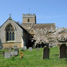
Église St Peter's de Dumbleton
2.7 km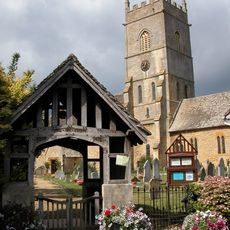
Church of St John the Baptist
2.8 km
Church of St Mary
3.7 km
Church of St Mary
3.4 km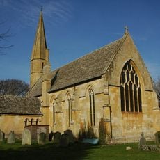
Church of St Mary
2.8 km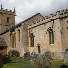
Church of St Barbara
128 m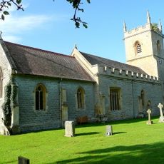
Church of St Peter
3.6 km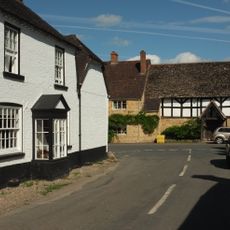
Queen Elizabeth I Arms Public House
3.8 km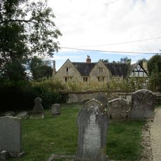
Court House
2.8 km
The Manor House
600 m
Norgrove Cottage
4 km
Cross Cottage
59 m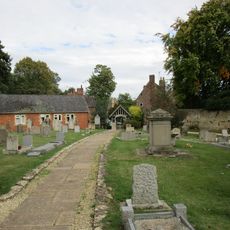
Randall Memorial About 23 Yards South Of The Nave Of The Church Of St John The Baptist
2.8 km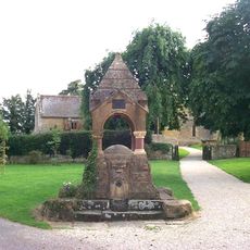
Water Conduit Circa 12 Metres North Of The Entrance To The Churchyard
2.7 km
Old Rectory North
2.6 km
The Old College
3.8 km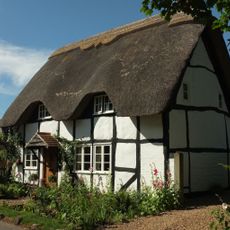
Bridge Cottage
3.9 km
Old Police Station
4 km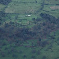
Elmley Castle earthworks
3.2 km
Milepost About 12 Yards South Of The Cross House
3 km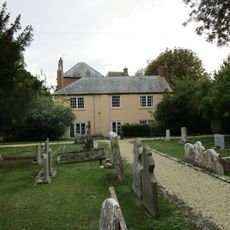
The Old Rectory
2.8 km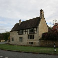
The Old House
2.7 km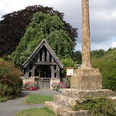
Village cross 80m east of St Barbara's Church
71 m
Dovecote About 15 Yards East Of Conderton Chase
3.3 km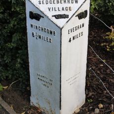
Milepost, Winchcombe Road, by No 45, S end of Sedgeberrow Village
2.8 kmVous avez visité ce lieu ? Touchez les étoiles pour le noter et partager votre expérience ou vos photos avec la communauté ! Essayez maintenant ! Vous pouvez annuler à tout moment.
Trouvez des trésors cachés à chaque coin de rue !
Des petits cafés pittoresques aux points de vue planqués, fuyez la foule et dénichez les lieux qui vous ressemblent vraiment. Notre app vous facilite la vie : recherche vocale, filtres malins, itinéraires optimisés et bons plans partagés par des voyageurs du monde entier. Téléchargez vite pour vivre l'aventure en version mobile !

Une approche inédite de la découverte touristique❞
— Le Figaro
Tous les lieux qui valent la peine d'être explorés❞
— France Info
Une excursion sur mesure en quelques clics❞
— 20 Minutes