
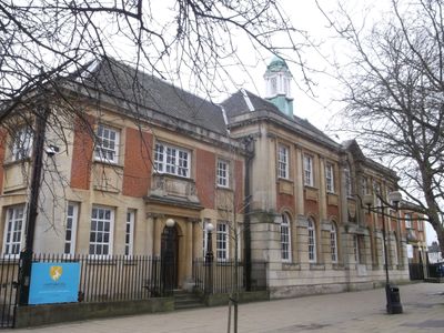
Former County School, building in Haringey, Greater London, UK
Emplacement : London Borough of Haringey
Coordonnées GPS : 51.58794,-0.07262
Dernière mise à jour : 9 mars 2025 à 18:28
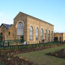
Markfield Beam Engine and Museum
1 km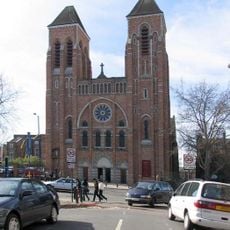
St Ignatius Church, Stamford Hill
1.2 km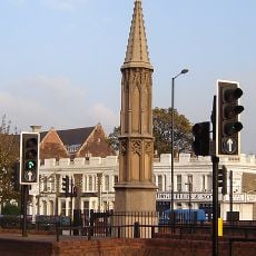
Tottenham High Cross
203 m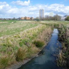
Lordship Recreation Ground
1.2 km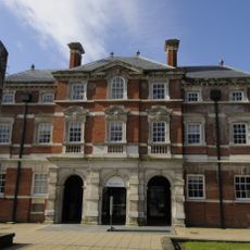
Bernie Grant Arts Centre
46 m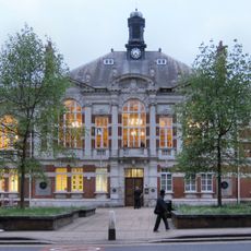
Tottenham Town Hall
88 m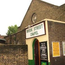
Brook Street Chapel
634 m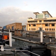
Tottenham Lock
1.1 km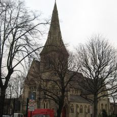
St Ann's Church
1.1 km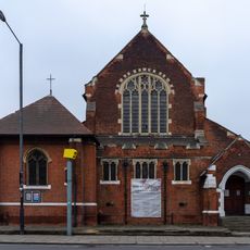
St Philip the Apostle, Tottenham
746 m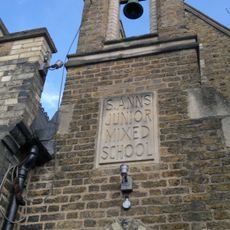
Fowler Newsam Hall
1.1 km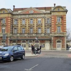
Palace Theatre
383 m
Chapel At Drapers' Almshouses The Drapers' Almshouses
1.1 km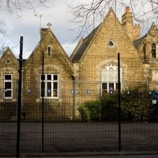
St Ann's Church School
1.1 km
Church of Holy Trinity
90 m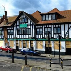
The Beehive Public House
533 m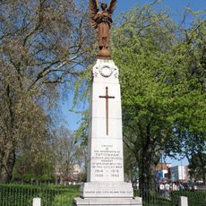
Tottenham War Memorial
148 m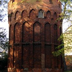
Tower to south west of Bruce Castle
1.2 km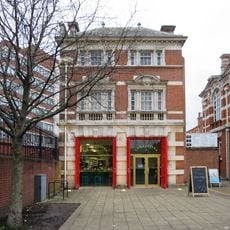
Former Tottenham Fire Station
104 m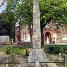
West Green and Tottenham War Memorial
1 km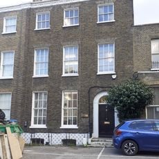
5 And 6, Bruce Grove N17
740 m
Pair Of Houses In North East Part Of Prince Of Wales's General Hospital Grounds
183 m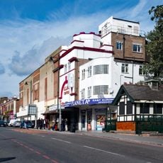
Public Toilet
752 m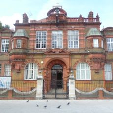
Education Offices, Downhills School And Railings And Walls To Front
1 km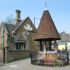
Old Well And Well House
131 m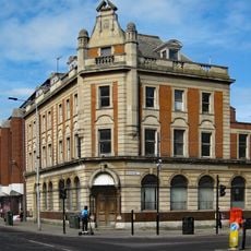
Barclay's Bank
417 m
8-18, Lordship Lane N17
1.2 km
Edwin John Low Bridge
1.2 kmVous avez visité ce lieu ? Touchez les étoiles pour le noter et partager votre expérience ou vos photos avec la communauté ! Essayez maintenant ! Vous pouvez annuler à tout moment.
Trouvez des trésors cachés à chaque coin de rue !
Des petits cafés pittoresques aux points de vue planqués, fuyez la foule et dénichez les lieux qui vous ressemblent vraiment. Notre app vous facilite la vie : recherche vocale, filtres malins, itinéraires optimisés et bons plans partagés par des voyageurs du monde entier. Téléchargez vite pour vivre l'aventure en version mobile !

Une approche inédite de la découverte touristique❞
— Le Figaro
Tous les lieux qui valent la peine d'être explorés❞
— France Info
Une excursion sur mesure en quelques clics❞
— 20 Minutes