
Cross, architectural structure in Hunstanton, King's Lynn and West Norfolk, Norfolk, UK
Emplacement : Hunstanton
Coordonnées GPS : 52.93998,0.48809
Dernière mise à jour : 16 mars 2025 à 18:36

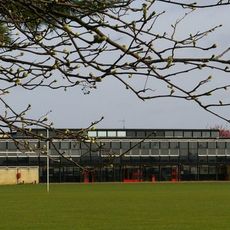
Smithdon High School
691 m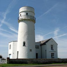
Phare d'Old Hunstanton
1.1 km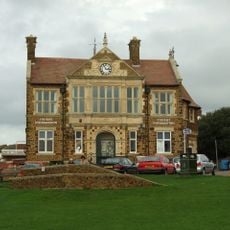
Hunstanton Town Hall
82 m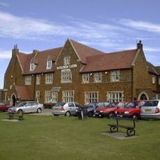
Golden Lion Hotel
40 m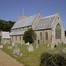
Church of St Mary, Old Hunstanton
1.9 km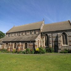
Church of St Edmund
201 m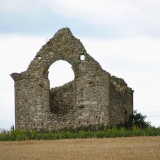
Chapel of St Andrew
1.5 km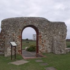
Ruins Of St Edmund's Chapel
1 km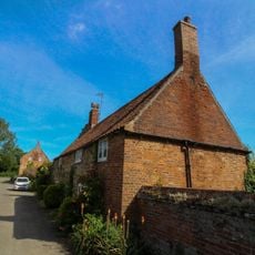
66, Church Road
1.9 km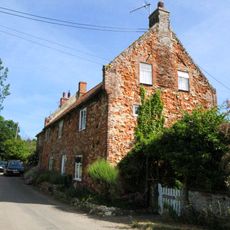
62 and 63, Church Road
1.9 km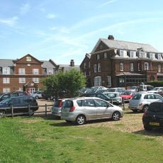
Le Strange Arms Hotel
1.7 km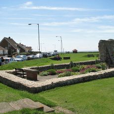
Light on Chapel of St Edmund
1 km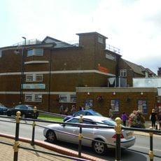
Princess Theatre
1.7 km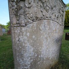
Monument To William Green Situated 25 Metres From Church Of St Mary In Churchyard
1.9 km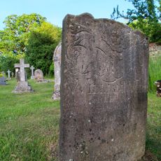
Monument To William Webb Situated 50 Metres From Church Of St Mary In Churchyard
1.9 km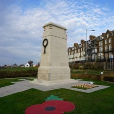
Hunstanton War Memorial
117 m
53 And 55, Old Hunstanton Road
1.7 km
12 And 14, Sea Lane
1.7 km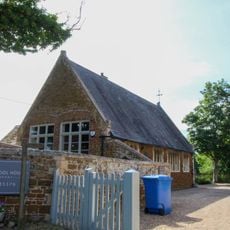
School And Former School House
1.9 km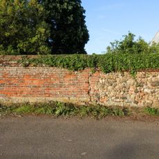
Churchyard Wall From Churchyard Gate To Number 66 Church Road (East) To West Of Church Of St Mary
1.9 km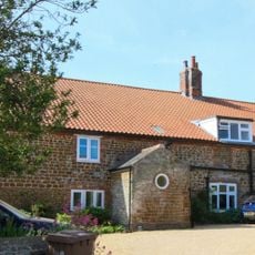
Cliff Farm House
1.8 km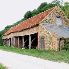
Cartlodge With Granary Over At Downs Farm
1.8 km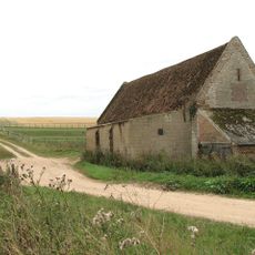
Barret Ringstead Farm Barn
1.8 km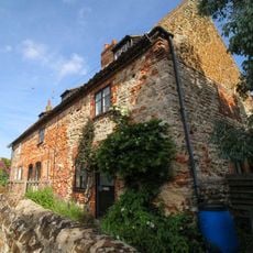
69-73, Old Hunstanton Road
1.8 km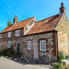
16 And 18, Sea Lane
1.7 km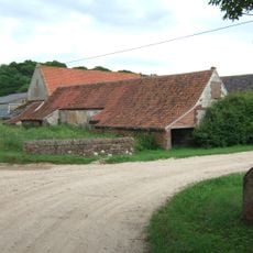
Stables To South Of Downs Farmhouse
1.8 km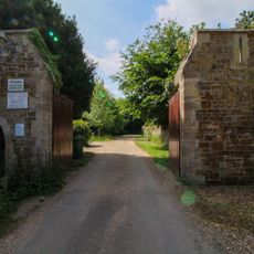
Gates And Gate Piers To Hunstanton Park
1.9 km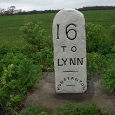
Milestone, Cromer Road, S of jct with Chapel Bank
1.1 kmVous avez visité ce lieu ? Touchez les étoiles pour le noter et partager votre expérience ou vos photos avec la communauté ! Essayez maintenant ! Vous pouvez annuler à tout moment.
Trouvez des trésors cachés à chaque coin de rue !
Des petits cafés pittoresques aux points de vue planqués, fuyez la foule et dénichez les lieux qui vous ressemblent vraiment. Notre app vous facilite la vie : recherche vocale, filtres malins, itinéraires optimisés et bons plans partagés par des voyageurs du monde entier. Téléchargez vite pour vivre l'aventure en version mobile !

Une approche inédite de la découverte touristique❞
— Le Figaro
Tous les lieux qui valent la peine d'être explorés❞
— France Info
Une excursion sur mesure en quelques clics❞
— 20 Minutes