
Wickersham Headstone Approximately 17 Metres West Of The Tower Of The Church Of St Mary
Wickersham Headstone Approximately 17 Metres West Of The Tower Of The Church Of St Mary, tombstone in Hadlow, Tonbridge and Malling, Kent, UK
Emplacement : Hadlow
Coordonnées GPS : 51.22330,0.33888
Dernière mise à jour : 6 juillet 2025 à 18:38
Church of All Saints
4.5 km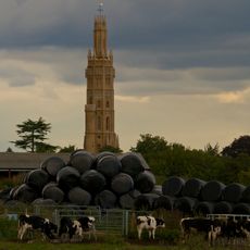
Hadlow Castle
35 m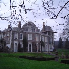
Oxon Hoath
2.5 km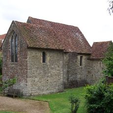
Old Soar Manor
4.6 km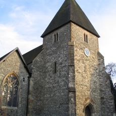
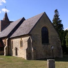
St. Mary's Church, Hadlow
39 m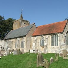
St Michael's Church, East Peckham
3.7 km
Church of the Holy Trinity
3.1 km
Church of St Dunstan
3 km
Hadlow Tower
35 m
Triumphal Arch In Mereworth Park
4.3 km
Roydon Hall
3.7 km
The Bush Blackbird And Thrush Public House
3 km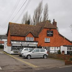
The Man Of Kent Public House
2.8 km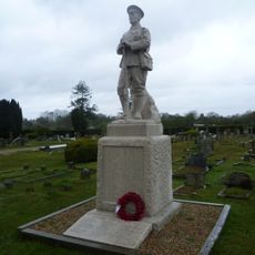
Hadlow War Memorial
863 m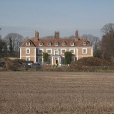
Yotes Court
3.9 km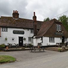
The Kentish Rifleman Public House
3.6 km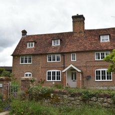
The Roses
3.7 km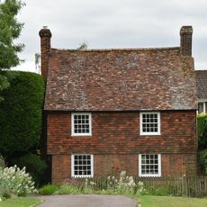
Collens Cottage
4.5 km
91 And 93, Pound Road
3.1 km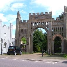
Gateway To Hadlow Castle
73 m
Poplar Court
1.9 km
Bells Farmhouse
1.9 km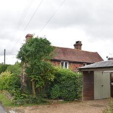
Manderley
4.5 km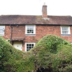
Wickenden Farmhouse
4.7 km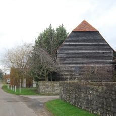
Barn To North Of Bells Farmhouse
1.9 km
Milestone, Branbridges Road, Beltring, opp. Beltring Road
4.6 km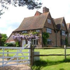
Spring Place
1.5 km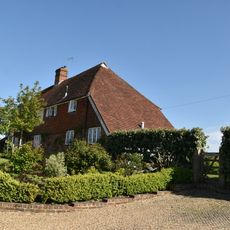
Church Farmhouse Including Bakehouse Approximately 1.5 Metres to the East
4.5 kmAvis
Vous avez visité ce lieu ? Touchez les étoiles pour le noter et partager votre expérience ou vos photos avec la communauté ! Essayez maintenant ! Vous pouvez annuler à tout moment.
Trouvez des trésors cachés à chaque coin de rue !
Des petits cafés pittoresques aux points de vue planqués, fuyez la foule et dénichez les lieux qui vous ressemblent vraiment. Notre app vous facilite la vie : recherche vocale, filtres malins, itinéraires optimisés et bons plans partagés par des voyageurs du monde entier. Téléchargez vite pour vivre l'aventure en version mobile !

Une approche inédite de la découverte touristique❞
— Le Figaro
Tous les lieux qui valent la peine d'être explorés❞
— France Info
Une excursion sur mesure en quelques clics❞
— 20 Minutes