
Bugglesden, building in Tenterden, Ashford, Kent, UK
Emplacement : Tenterden
Coordonnées GPS : 51.09753,0.66864
Dernière mise à jour : 18 octobre 2025 à 12:29
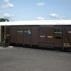
Cavell Van
3.2 km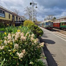
Kent & East Sussex Railway
3.3 km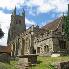
Parish Church of St Mildred
3.5 km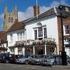
Tenterden Town Hall
3.5 km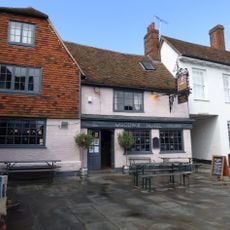
The Woolpack Hotel
3.5 km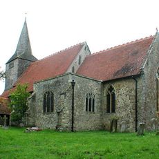
Parish Church of St Mary
3.3 km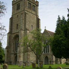
Parish Church of All Saints
2.8 km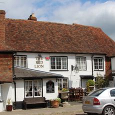
The Red Lion Inn
2.7 km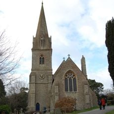
Church of St Michael
1.9 km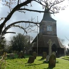
War Memorial in the Grounds of Church of St Mary the Virgin
3.3 km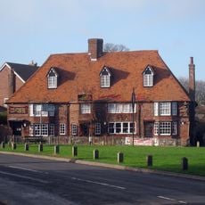
The Chequers Inn
3.2 km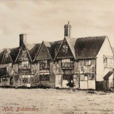
Old Cloth Workers Hall The Old Cloth Hall
2.7 km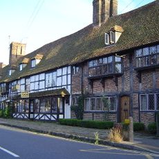
3-17 High Street
2.7 km
18 And 20, High Street
3.5 km
Hathewolden Grange
3.1 km
28 High Street
2.7 km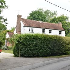
Crosswell Farmhouse
3 km
Hendon Hall
2.6 km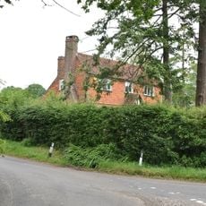
Bargate Farmhouse
2.9 km
Lion House
3.2 km
Birchley East Birchley Farmhouse Birchley West
2.5 km
15 And 17, East Cross
3.4 km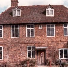
Biddenden Place
2.5 km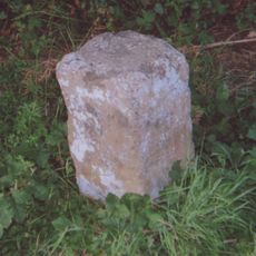
Milestone, Tenterden Road, opp. Willow Pond, E of "Whitestones"
1.3 km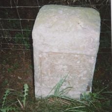
Milestone, village of High Halden
2.6 km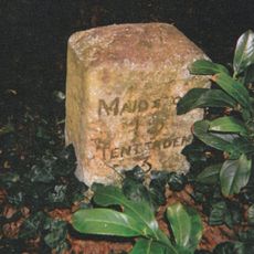
Milestone, Tenterden Road, S of "Castleton's Oak" PH, nr Brogues Wood
2.4 km
Milestone, Cranbrook Road, Fosten Green, W of Fosten Lane
3.2 km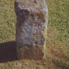
Milestone, Ashford Road; at jct with Chalk Avenue
2.7 kmAvis
Vous avez visité ce lieu ? Touchez les étoiles pour le noter et partager votre expérience ou vos photos avec la communauté ! Essayez maintenant ! Vous pouvez annuler à tout moment.
Trouvez des trésors cachés à chaque coin de rue !
Des petits cafés pittoresques aux points de vue planqués, fuyez la foule et dénichez les lieux qui vous ressemblent vraiment. Notre app vous facilite la vie : recherche vocale, filtres malins, itinéraires optimisés et bons plans partagés par des voyageurs du monde entier. Téléchargez vite pour vivre l'aventure en version mobile !

Une approche inédite de la découverte touristique❞
— Le Figaro
Tous les lieux qui valent la peine d'être explorés❞
— France Info
Une excursion sur mesure en quelques clics❞
— 20 Minutes