
7 And 9, Bank Street, building in Tonbridge and Malling, Kent, UK
Emplacement : Tonbridge and Malling
Adresse : 7 And 9, Bank Street, Tonbridge and Malling, Kent, TN9
Coordonnées GPS : 51.19732,0.27417
Dernière mise à jour : 9 mars 2025 à 13:01
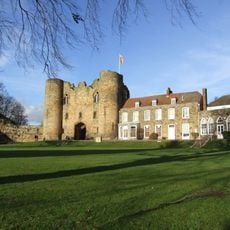
Château de Tonbridge
159 m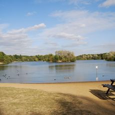
Haysden Country Park
2 km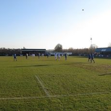
Longmead Stadium
1.6 km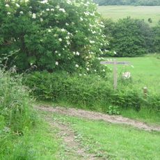
Lullingstone Country Park
2 km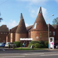
Oast Theatre
1.3 km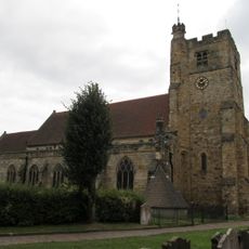
Church of St Peter and St Paul
188 m
The Rose And Crown Hotel
107 m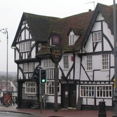
Ye Olde Chequers Inn
130 m
The Chapel Tonbridge School
403 m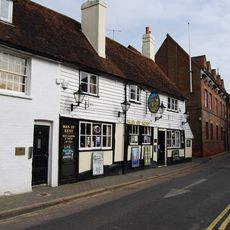
The Man Of Kent Public House
172 m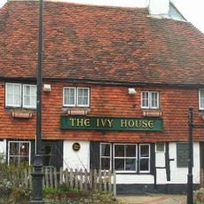
Ivy House Public House
234 m
Ferox Hall
286 m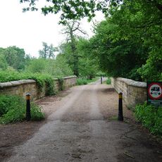
Lake Bridge
1.9 km
The Hermitage
293 m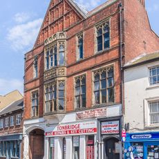
145 And 147, High Street
99 m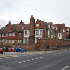
The Manor House
539 m
157, High Street
120 m
The Red House
266 m
Minerva House Minerva House Annexe
227 m
139, High Street
99 m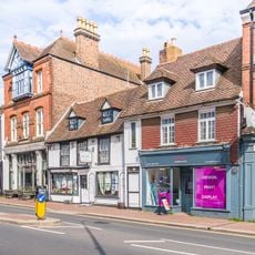
161, High Street
129 m
Tyger's Head
144 m
Old School House
916 m
15, Bordyke
303 m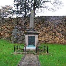
Tonbridge Boer War Memorial
174 m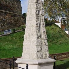
Tonbridge War Memorial
181 m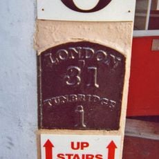
Milestone, Railway Approach, close to N of Pembury Road, in wall of Beat N Track shop
854 m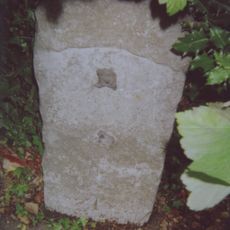
Milestone, London Road; W of Dry Hill Road, opp. School
592 mAvis
Vous avez visité ce lieu ? Touchez les étoiles pour le noter et partager votre expérience ou vos photos avec la communauté ! Essayez maintenant ! Vous pouvez annuler à tout moment.
Trouvez des trésors cachés à chaque coin de rue !
Des petits cafés pittoresques aux points de vue planqués, fuyez la foule et dénichez les lieux qui vous ressemblent vraiment. Notre app vous facilite la vie : recherche vocale, filtres malins, itinéraires optimisés et bons plans partagés par des voyageurs du monde entier. Téléchargez vite pour vivre l'aventure en version mobile !

Une approche inédite de la découverte touristique❞
— Le Figaro
Tous les lieux qui valent la peine d'être explorés❞
— France Info
Une excursion sur mesure en quelques clics❞
— 20 Minutes