
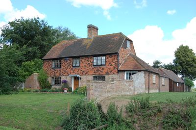
Brattle House, house in Brookland, Shepway, Kent, UK
Emplacement : Brookland
Coordonnées GPS : 51.00267,0.82699
Dernière mise à jour : 14 mars 2025 à 01:05
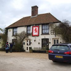
Red Lion, Snargate
2.2 km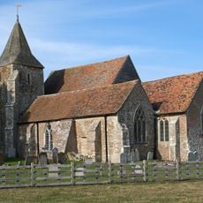
Church of St Clement, Old Romney
5.2 km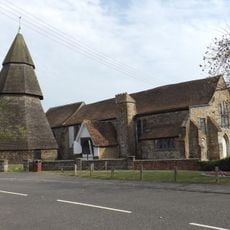
St Augustine's Church, Brookland
768 m
Domestic chapel at Horne's Place
5.2 km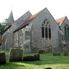
St Eanswith's Church, Brenzett
2.5 km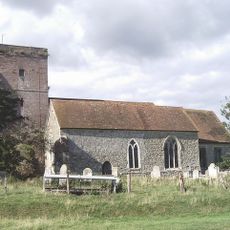
Church of St Matthew
6.2 km
Church of St George
4.5 km
Church of St Thomas A Becket and mounting block attached
1.8 km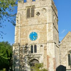
Church of St Peter and St Paul
3.9 km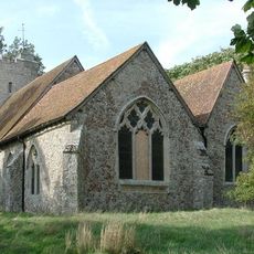
Church of St Augustine
4.6 km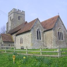
Parish Church of St Mary the Virgin
4.5 km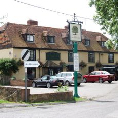
The Royal Oak Inn
760 m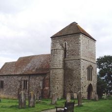
Church of St Mary
5.8 km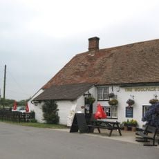
The Woolpack Inn
2 km
Church of St Dunstan
2.3 km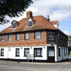
The Fleur De Lys Public House The Fleur-De-Lys-Public House
2 km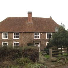
The Manor House
5.1 km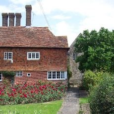
Horne's Place
5.2 km
Smith's Farmhouse
5.4 km
Detached Belfry about 1 yard north of Church of St Augustine
763 m
Blue House Farmhouse
2.5 km
Dean Court
1.7 km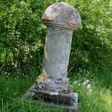
Royal Military Canal, Iden Lock to Kent Ditch
4.8 km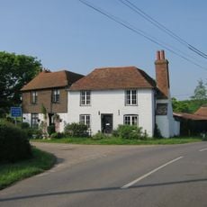
Sly Corner
5.9 km
Becket's House
2.6 km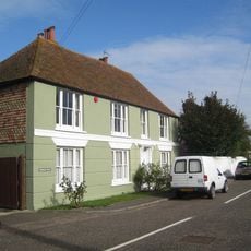
Brookland House
751 m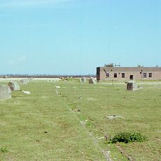
Radar Station Receiver Site, Including The Receiver Building, Receiver Mast Bases And Light Anti-Aircraft Gun Site
3.9 km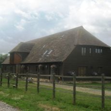
Barn Circa 50 Yards West Of Becket's Barn Farmhouse
2.1 kmVous avez visité ce lieu ? Touchez les étoiles pour le noter et partager votre expérience ou vos photos avec la communauté ! Essayez maintenant ! Vous pouvez annuler à tout moment.
Trouvez des trésors cachés à chaque coin de rue !
Des petits cafés pittoresques aux points de vue planqués, fuyez la foule et dénichez les lieux qui vous ressemblent vraiment. Notre app vous facilite la vie : recherche vocale, filtres malins, itinéraires optimisés et bons plans partagés par des voyageurs du monde entier. Téléchargez vite pour vivre l'aventure en version mobile !

Une approche inédite de la découverte touristique❞
— Le Figaro
Tous les lieux qui valent la peine d'être explorés❞
— France Info
Une excursion sur mesure en quelques clics❞
— 20 Minutes