
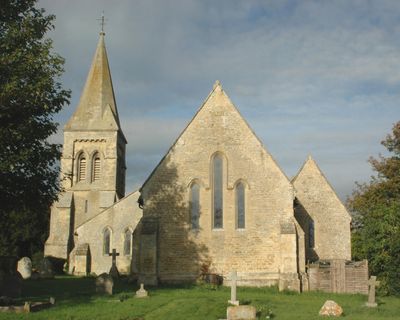
Church of St Giles, church building in Tetsworth, South Oxfordshire, Oxfordshire, UK
Emplacement : Tetsworth
Coordonnées GPS : 51.70885,-1.00861
Dernière mise à jour : 3 mars 2025 à 03:11
Rycote House
3.7 km
Abbaye de Thame
3.8 km
Adwell House
2.2 km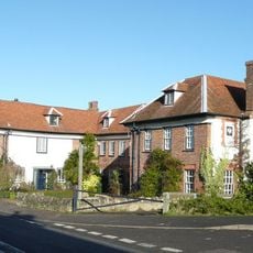
The Swan
251 m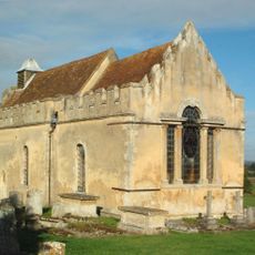
Church of St Andrew
2.3 km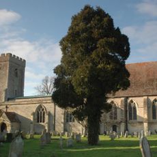
Church of St Peter
4.2 km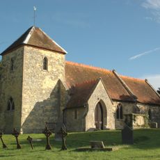
Church of St Mary Magdalen
2.4 km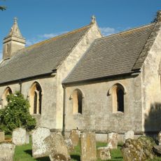
Church of St Helen
4.6 km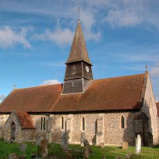
Church of St Mary
4.4 km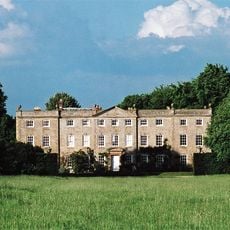
Haseley Court
4.2 km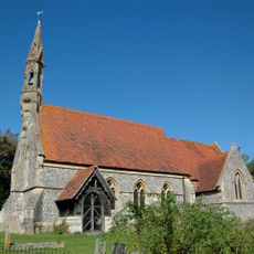
Church of St Mary
2.3 km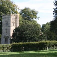
Rycote Chapel
3.6 km
Thame Park House
3.7 km
Attington Toll House
1.4 km
Cross Keys Public House
4.7 km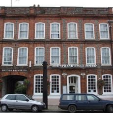
The Spread Eagle Hotel
4.7 km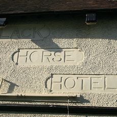
The Black Horse Hotel
4.7 km
The Birdcage Public House
4.8 km
The Old Post Office
4.6 km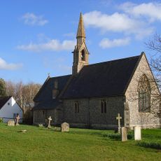
St Lawrence
3.5 km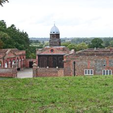
Wheatfield Park Coach House, Stables And Farmhouse
2.3 km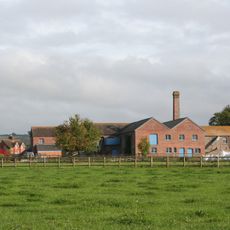
Model Farm, Engine House And Attached Buildings Approximately 15 Metres South South West Of Farmhouse
4.6 km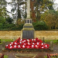
Thame War Memorial
4.7 km
Moreton War Memorial, Oxfordshire
3.2 km
Milestone At Sp 6786 0246
1.1 km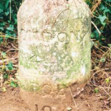
Milestone Approximately 500 Metres North Of Lobb Farmhouse
2.7 km
Milestone, London Road; Milton Common, W of Belfry Hotel, opp. Old London Road
4.2 km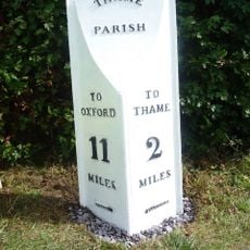
Milepost, Rycote Lane; N side of entrance to Oxfordshire Golf Club, Lobbersdown Hill
2.9 kmVous avez visité ce lieu ? Touchez les étoiles pour le noter et partager votre expérience ou vos photos avec la communauté ! Essayez maintenant ! Vous pouvez annuler à tout moment.
Trouvez des trésors cachés à chaque coin de rue !
Des petits cafés pittoresques aux points de vue planqués, fuyez la foule et dénichez les lieux qui vous ressemblent vraiment. Notre app vous facilite la vie : recherche vocale, filtres malins, itinéraires optimisés et bons plans partagés par des voyageurs du monde entier. Téléchargez vite pour vivre l'aventure en version mobile !

Une approche inédite de la découverte touristique❞
— Le Figaro
Tous les lieux qui valent la peine d'être explorés❞
— France Info
Une excursion sur mesure en quelques clics❞
— 20 Minutes