
Church of St Luke, church in Simonsbath, Exmoor, Somerset, United Kingdom
Emplacement : Exmoor
Coordonnées GPS : 51.14100,-3.75138
Dernière mise à jour : 12 mars 2025 à 13:57


Stone circle on Withypool Hill 670m ESE of Portford Bridge
8.1 km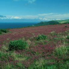
Parc national d'Exmoor
2.9 km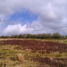
Cromlech de Porlock
8.7 km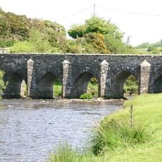
Landacre Bridge
5.2 km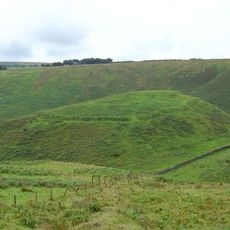
Cow Castle
2.8 km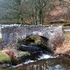
Robber's Bridge
8.3 km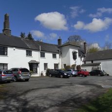
Simonsbath House
402 m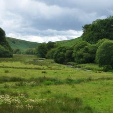
Barle Valley
6 km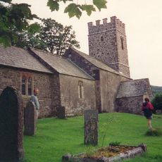
Church of St Mary
8.3 km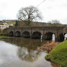
Withypool Bridge
8 km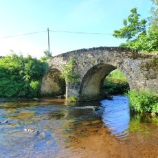
Malmsmead Bridge
8.5 km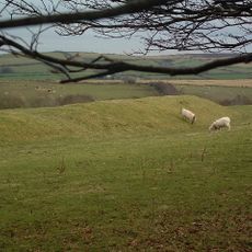
Roborough Castle
8 km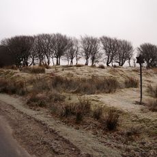
Alderman's Barrow at N of Almsworthy Common
6.7 km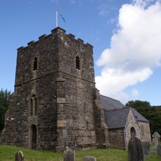
Church of St Andrew
8 km
Church of Saint Peter
9 km
Church of St Mary Magdalene
8.2 km
Church of St Brendan
8.7 km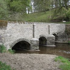
Simonsbath Bridge At Ngr Ss 7720 3909
504 m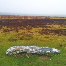
Stone circle, Porlock Common
8.7 km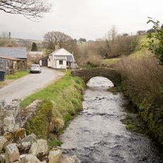
Footbridge Circa 30 Metres North East Of Town Farmhouse
8.5 km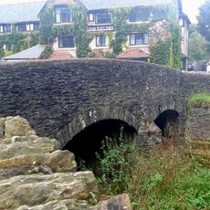
Exford Bridge At Ngr Ss 8525 3836
7.7 km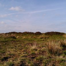
Bowl barrow and round cairn on Withypool Hill, 850m and 820m east of Portford Bridge
8.1 km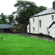
Emmett's Grange
3.5 km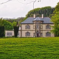
Stone
9 km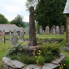
Remains Of Churchyard Cross, About One Metre South Of South Aisle, Church Of St Mary Magdalene
8.2 km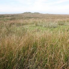
'Five Barrows', group of eight barrows
5.1 km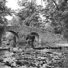
Oare Bridge
8.5 km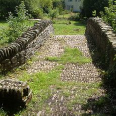
Packhorse Bridge Approximately 30 Metres To West Of Leeford Bridge (That Part In Brendon Cp)
8.9 kmVous avez visité ce lieu ? Touchez les étoiles pour le noter et partager votre expérience ou vos photos avec la communauté ! Essayez maintenant ! Vous pouvez annuler à tout moment.
Trouvez des trésors cachés à chaque coin de rue !
Des petits cafés pittoresques aux points de vue planqués, fuyez la foule et dénichez les lieux qui vous ressemblent vraiment. Notre app vous facilite la vie : recherche vocale, filtres malins, itinéraires optimisés et bons plans partagés par des voyageurs du monde entier. Téléchargez vite pour vivre l'aventure en version mobile !

Une approche inédite de la découverte touristique❞
— Le Figaro
Tous les lieux qui valent la peine d'être explorés❞
— France Info
Une excursion sur mesure en quelques clics❞
— 20 Minutes