
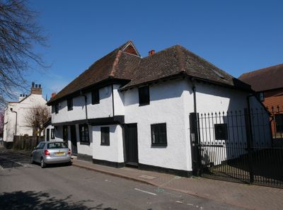
5-9, High Street, building in Bromley, Greater London, UK
Emplacement : London Borough of Bromley
Adresse : 5-9, High Street, Bromley, Greater London, BR5
Coordonnées GPS : 51.39545,0.11521
Dernière mise à jour : 8 mars 2025 à 18:00
Ruxley Gravel Pits
1.6 km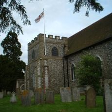
Church of All Saints, Orpington
2.1 km
St Botolph's Church, Ruxley
2.2 km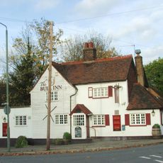
The Bull
902 m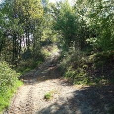
The Warren
1.4 km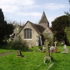
Church of St Paulinus
714 m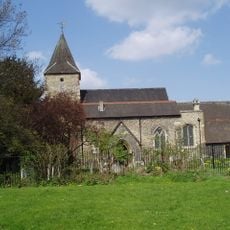
Church of St Mary
41 m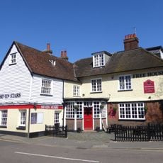
The Seven Stars Public House
2.5 km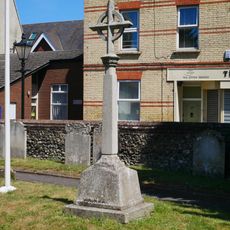
St Mary Cray War Memorial
43 m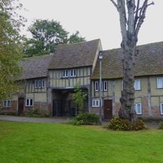
Outbuildings In The Grounds Of The Priory
2 km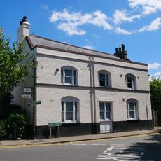
The Blue Anchor Public House
26 m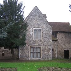
Orpington Priory
2 km
William Willett Memorial
2.4 km
Cray Viaduct
118 m
Ruxley Farmhouse
2.2 km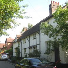
1-3, Chapmans Lane
860 m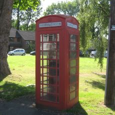
K6 Telephone Kiosk Junction Of Sandy Lane
881 m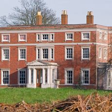
Kevington County Primary School
1 km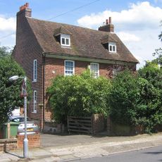
Perry Hall Farmhouse
2 km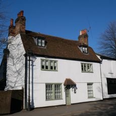
Lime Tree House
55 m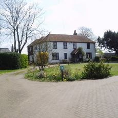
Hockenden House
2.2 km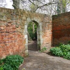
Two Garden Walls 30 Yards North Of The Priory
2 km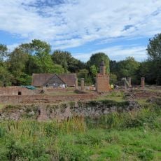
Scadbury Manor moated site and fishponds
2.1 km
87, High Street
288 m
4,6,8 And 8A, Kent Road
1 km
316 And 318, High Street
993 m
Barn Hawe
2 km
Milepost, Maidstone Road, Ruxley, E of Glebe Cottages, W of entrance to Manor Farm
2.4 kmAvis
Vous avez visité ce lieu ? Touchez les étoiles pour le noter et partager votre expérience ou vos photos avec la communauté ! Essayez maintenant ! Vous pouvez annuler à tout moment.
Trouvez des trésors cachés à chaque coin de rue !
Des petits cafés pittoresques aux points de vue planqués, fuyez la foule et dénichez les lieux qui vous ressemblent vraiment. Notre app vous facilite la vie : recherche vocale, filtres malins, itinéraires optimisés et bons plans partagés par des voyageurs du monde entier. Téléchargez vite pour vivre l'aventure en version mobile !

Une approche inédite de la découverte touristique❞
— Le Figaro
Tous les lieux qui valent la peine d'être explorés❞
— France Info
Une excursion sur mesure en quelques clics❞
— 20 Minutes