
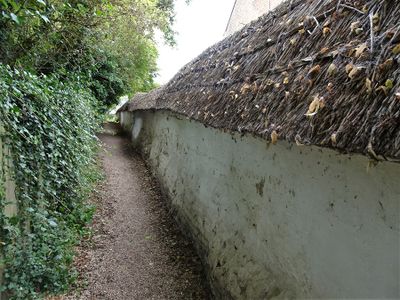
Cob wall forming southern boundary to housing estate, Grade II listed wall in Blewbury, Vale of White Horse, Oxfordshire, UK
Emplacement : Blewbury
Coordonnées GPS : 51.56938,-1.23710
Dernière mise à jour : 9 mars 2025 à 15:28
Blewburton Hill
1.7 km
Church of All Saints
2.3 km
Church of St Michael
175 m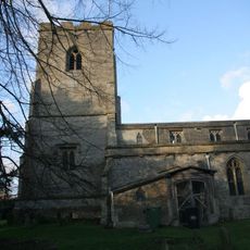
Church of St Andrew
2.4 km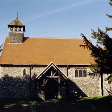
Church of St Mary
1.9 km
Corrydon House
314 m
Malthus Schoolhouse
156 m
Dragonwyke And Winding Way Cottage
419 m
Turnpike House
388 m
Upton Manor House
1.7 km
Great Tree Farm Barn And Attached Covered Gateway
333 m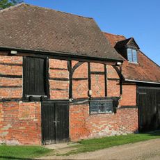
Barn And Granary Approximately 20 Metres West Of Owlscote Manor Farmhouse
1.7 km
3, Treble House Terrace
378 m
Stocks
203 m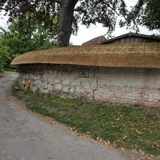
Clunch Wall approximately 35 metres East of Orchrd Dene House, at junction with South Street
418 m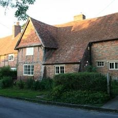
Great Tree and Ilburys
301 m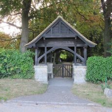
Blewbury Cemetery WWI Memorial Lychgate
466 m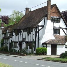
Double Doors
366 m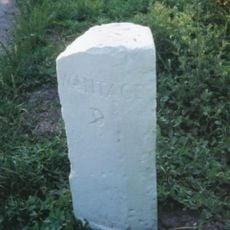
Milestone At Su 5253 8574
475 m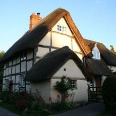
Laurences
214 m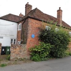
Boham's House
62 m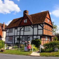
Number 21 And 23 (Upper Cross)
2.4 km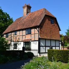
Nottingham Fee House
222 m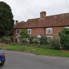
19, Main Road
2.4 km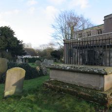
Chest Tomb To Phillips Family And Railings Approximately 10 Metres North Of Church Of St Andrew
2.4 km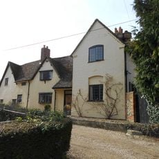
Thorpe Farmhouse And Barn
2.3 km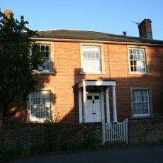
Curtoys
48 m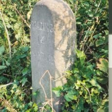
Milestone, Blewbury Hill; W of Blewbury Farm, Baldon Hill
1.1 kmAvis
Vous avez visité ce lieu ? Touchez les étoiles pour le noter et partager votre expérience ou vos photos avec la communauté ! Essayez maintenant ! Vous pouvez annuler à tout moment.
Trouvez des trésors cachés à chaque coin de rue !
Des petits cafés pittoresques aux points de vue planqués, fuyez la foule et dénichez les lieux qui vous ressemblent vraiment. Notre app vous facilite la vie : recherche vocale, filtres malins, itinéraires optimisés et bons plans partagés par des voyageurs du monde entier. Téléchargez vite pour vivre l'aventure en version mobile !

Une approche inédite de la découverte touristique❞
— Le Figaro
Tous les lieux qui valent la peine d'être explorés❞
— France Info
Une excursion sur mesure en quelques clics❞
— 20 Minutes