
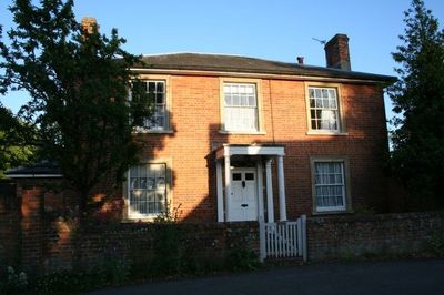
Curtoys, building in Blewbury, Vale of White Horse, Oxfordshire, UK
Emplacement : Blewbury
Coordonnées GPS : 51.56943,-1.23780
Dernière mise à jour : 5 mars 2025 à 09:01
Blewburton Hill
1.8 km
Church of All Saints
2.4 km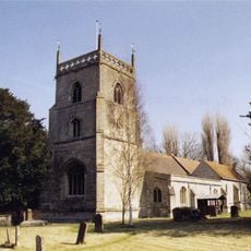
Church of St Michael
223 m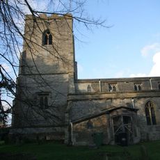
Church of St Andrew
2.3 km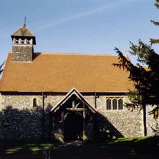
Church of St Mary
1.8 km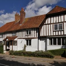
Corrydon House
320 m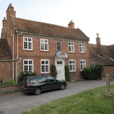
Malthus Schoolhouse
204 m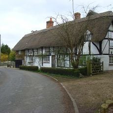
Dragonwyke And Winding Way Cottage
467 m
Turnpike House
420 m
Upton Manor House
1.6 km
Clunch Wall approximately 35 metres East of Orchrd Dene House, at junction with South Street
465 m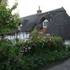
Stocks
220 m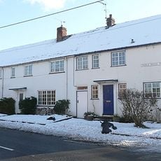
3, Treble House Terrace
399 m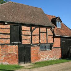
Barn And Granary Approximately 20 Metres West Of Owlscote Manor Farmhouse
1.7 km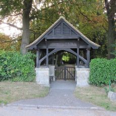
Blewbury Cemetery WWI Memorial Lychgate
429 m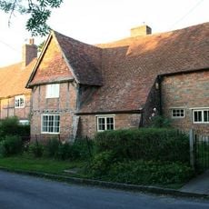
Great Tree and Ilburys
315 m
Ivy Farmhouse
2.4 km
Double Doors
350 m
Great Tree Farm Barn And Attached Covered Gateway
348 m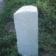
Milestone At Su 5253 8574
431 m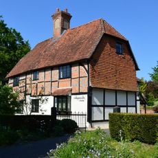
Nottingham Fee House
241 m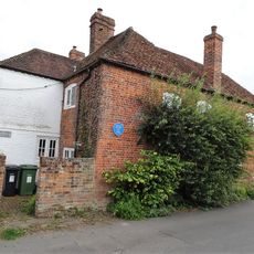
Boham's House
75 m
Thorpe Farmhouse And Barn
2.3 km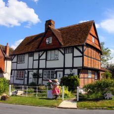
Number 21 And 23 (Upper Cross)
2.4 km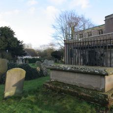
Chest Tomb To Phillips Family And Railings Approximately 10 Metres North Of Church Of St Andrew
2.4 km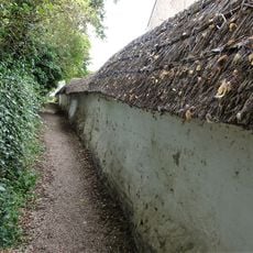
Cob wall forming southern boundary (locally known as Curtoys Lane) to housing estate
48 m
Laurences
226 m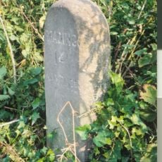
Milestone, Blewbury Hill; W of Blewbury Farm, Baldon Hill
1.2 kmVous avez visité ce lieu ? Touchez les étoiles pour le noter et partager votre expérience ou vos photos avec la communauté ! Essayez maintenant ! Vous pouvez annuler à tout moment.
Trouvez des trésors cachés à chaque coin de rue !
Des petits cafés pittoresques aux points de vue planqués, fuyez la foule et dénichez les lieux qui vous ressemblent vraiment. Notre app vous facilite la vie : recherche vocale, filtres malins, itinéraires optimisés et bons plans partagés par des voyageurs du monde entier. Téléchargez vite pour vivre l'aventure en version mobile !

Une approche inédite de la découverte touristique❞
— Le Figaro
Tous les lieux qui valent la peine d'être explorés❞
— France Info
Une excursion sur mesure en quelques clics❞
— 20 Minutes