
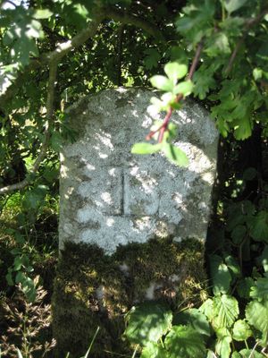
Boundary Stone 600 Yards North-East Of Billerley Farm
Boundary Stone 600 Yards North-East Of Billerley Farm, boundary marker in Bellingham, Northumberland, UK
Emplacement : Bellingham
Fait partie de : political border
Coordonnées GPS : 55.11150,-2.24743
Dernière mise à jour : 8 mars 2025 à 09:59
Château de Chipchase
5.6 km
Bellingham Castle
3.5 km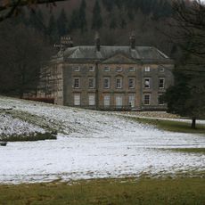
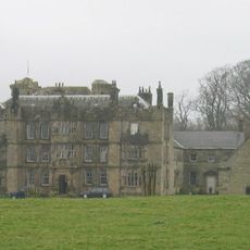
Hesleyside Hall
4.8 km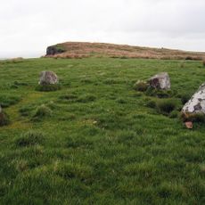
The Goatstones
5.2 km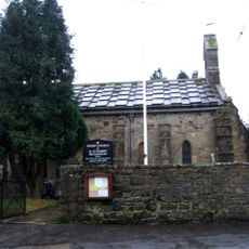
Church of St Cuthbert
3.6 km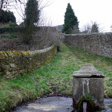
St Cuthbert's Well
3.5 km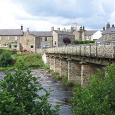
Wark Bridge
3.3 km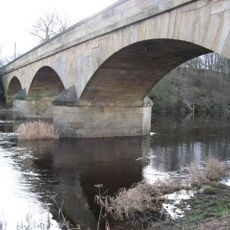
Bellingham Bridge
3.6 km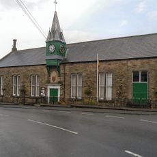
Town Hall
3.6 km
Town Hall
3.2 km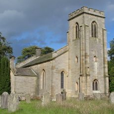
Church of St Michael
2.6 km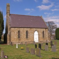
Church of St Oswald
3.8 km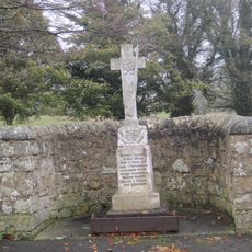
Birtley War Memorial
3.9 km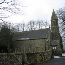
Church of St Giles
3.9 km
Chapel At Chipchase Castle
5.7 km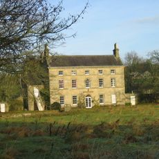
Lee Hall
1.8 km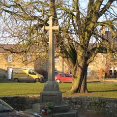
Wark War Memorial, Village Green
3.2 km
Simonburn Castle tower house
6.3 km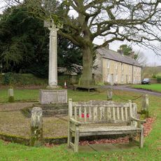
Simonburn War Memorial, Village Green
6.7 km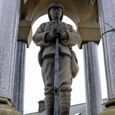
Bellingham Boer War Memorial Fountain
3.6 km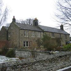
The Manor House
3.9 km
Hole Bastle, 20 yards north of Hole Farmhouse
5.5 km
Gate Piers C100 Yards North Of Chipchase Castle
5.5 km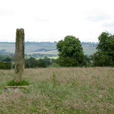
Shitlington Cross
2.4 km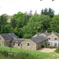
Ramshaw's Mill And Farmhouse
3 km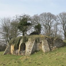
Limekiln C 300 Yards South Of Birtley Hall
3.9 km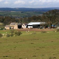
Catreen Farmhouse, Outbuildings And Wall
4.5 km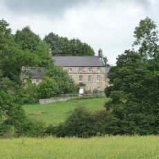
Steward's House
5.8 kmVous avez visité ce lieu ? Touchez les étoiles pour le noter et partager votre expérience ou vos photos avec la communauté ! Essayez maintenant ! Vous pouvez annuler à tout moment.
Trouvez des trésors cachés à chaque coin de rue !
Des petits cafés pittoresques aux points de vue planqués, fuyez la foule et dénichez les lieux qui vous ressemblent vraiment. Notre app vous facilite la vie : recherche vocale, filtres malins, itinéraires optimisés et bons plans partagés par des voyageurs du monde entier. Téléchargez vite pour vivre l'aventure en version mobile !

Une approche inédite de la découverte touristique❞
— Le Figaro
Tous les lieux qui valent la peine d'être explorés❞
— France Info
Une excursion sur mesure en quelques clics❞
— 20 Minutes