
Redhouse Farm Buildings, building in Belsay, Northumberland, UK
Emplacement : Belsay
Coordonnées GPS : 55.10180,-1.83208
Dernière mise à jour : 13 avril 2025 à 01:48
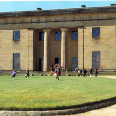
Belsay Hall
332 m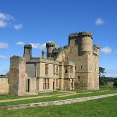
Château de Belsay
2.4 km
Kirkley Hall
4.4 km
Ogle Castle
3.2 km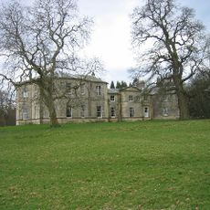
Milbourne Hall
4.2 km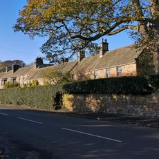
Whalton Manor
3.7 km
Bitchfield Tower
2.3 km
Defended settlement on Slate Hill, 300m north west of Bolam Lake
4.7 km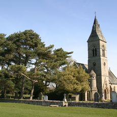
Church of Holy Saviour
3.7 km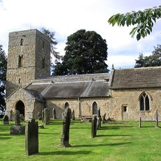
Church of St Andrew
4.3 km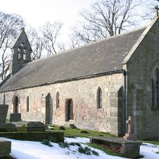
Church of St John the Baptist
5.4 km
Church of St Mary Magdalene
3.5 km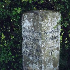
Milepost Approx 440 Yds East Of Edgehouse
5.2 km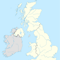
Blackheddon Farmhouse
4 km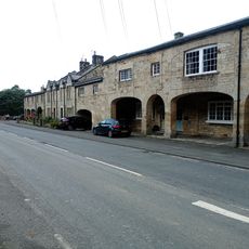
The Arcade
651 m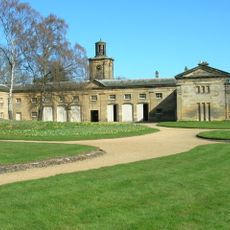
Stable Block Approx 30 Yards North-east Of Belsay Hall
1.9 km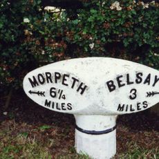
Milepost 100 Metres East Of Whiteside North
3.3 km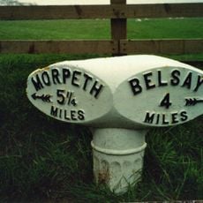
Milepost 30 Metres West Of Camp House
4.7 km
East Lodge To Belsay Hall
613 m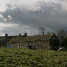
Harnham Hall
3.9 km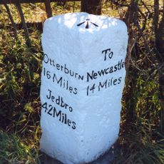
Milepost At Junction With B6309
2 km
Bantam Folly, Approx 200 Yards West Of Belsay Castle
2.7 km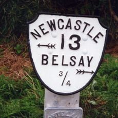
Milepost On North Side Of Shiningpool Bridge
664 m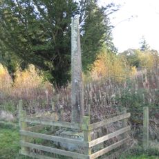
Belsay Village Cross approx 250 yards east of Belsay Castle
2.1 km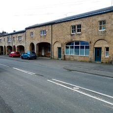
The Arcade
640 m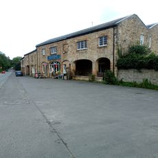
The Arcade
612 m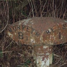
Milepost, East Trewick
878 m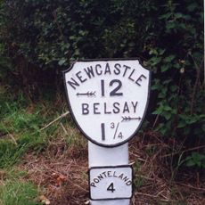
Milepost, Ogle, nr Nunhill Farm, N of The Highlander Inn
1.9 kmAvis
Vous avez visité ce lieu ? Touchez les étoiles pour le noter et partager votre expérience ou vos photos avec la communauté ! Essayez maintenant ! Vous pouvez annuler à tout moment.
Trouvez des trésors cachés à chaque coin de rue !
Des petits cafés pittoresques aux points de vue planqués, fuyez la foule et dénichez les lieux qui vous ressemblent vraiment. Notre app vous facilite la vie : recherche vocale, filtres malins, itinéraires optimisés et bons plans partagés par des voyageurs du monde entier. Téléchargez vite pour vivre l'aventure en version mobile !

Une approche inédite de la découverte touristique❞
— Le Figaro
Tous les lieux qui valent la peine d'être explorés❞
— France Info
Une excursion sur mesure en quelques clics❞
— 20 Minutes