
The 'Tannery', To South East Of High Shield House, building in Hexham, Northumberland, UK
Emplacement : Hexham
Coordonnées GPS : 54.96113,-2.10293
Dernière mise à jour : 4 novembre 2025 à 09:55
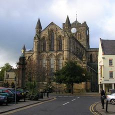
Abbaye de Hexham
697 m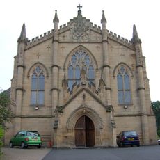
Church of St Mary (Roman Catholic)
918 m
Catholic Club
907 m
Bridge And Causeway Over Halgut Burn
813 m
Benson Of Allerwash Memorial Gates Gates To The Sele At Junction With Battlehill
984 m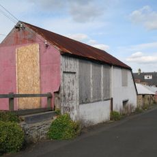
The Ropery, Now The Argyle Cafe
979 m
Hackwood
430 m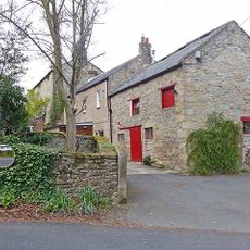
Middle Shield House
112 m
Hencotes House
985 m
19 And 21, Battlehill
978 m
4, Battlehill
974 m
Remains Of Former Number 20
956 m
Roman Catholic Presbytery
957 m
18 And 18A, Eastgate
891 m
16 And 18, Hencotes
985 m
Burn Brae House
971 m
High Shield House
44 m
Bellevue
856 m
The Farmhouse
868 m
Bridge On Path South Of Cuddy's Lane, Also Over Halgut Burn
765 m
2, Battlehill
978 m
6 And 8, Battlehill
969 m
Statue of Lieutenant Colonel GE Benson at Southern End of Beaumont Street
975 m
Hexham Middle School
758 m
Gateway To Roman Catholic Cemetery
860 m
14, Hencotes
989 m
Walls To Path Leading To Gaprigg Lane
865 m
19 And 20, Eastgate
879 mAvis
Vous avez visité ce lieu ? Touchez les étoiles pour le noter et partager votre expérience ou vos photos avec la communauté ! Essayez maintenant ! Vous pouvez annuler à tout moment.
Trouvez des trésors cachés à chaque coin de rue !
Des petits cafés pittoresques aux points de vue planqués, fuyez la foule et dénichez les lieux qui vous ressemblent vraiment. Notre app vous facilite la vie : recherche vocale, filtres malins, itinéraires optimisés et bons plans partagés par des voyageurs du monde entier. Téléchargez vite pour vivre l'aventure en version mobile !

Une approche inédite de la découverte touristique❞
— Le Figaro
Tous les lieux qui valent la peine d'être explorés❞
— France Info
Une excursion sur mesure en quelques clics❞
— 20 Minutes