
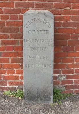
Marker Stone To Left Of Former St Marys Church Of England School
Marker Stone To Left Of Former St Marys Church Of England School, boundary marker in Uttoxeter, East Staffordshire, Staffordshire, UK
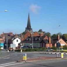
Emplacement : Uttoxeter
Fait partie de : political border
Coordonnées GPS : 52.90045,-1.86471
Dernière mise à jour : 10 mars 2025 à 07:55
St. Mary the Virgin Church, Uttoxeter
231 m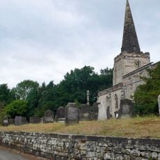
St Cuthbert's Church, Doveridge
2.3 km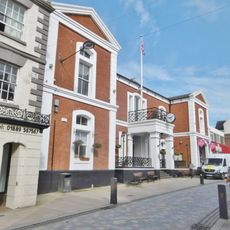
Town Hall
158 m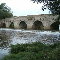
Dove Bridge
1.6 km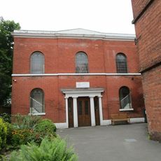
Congregational Church
281 m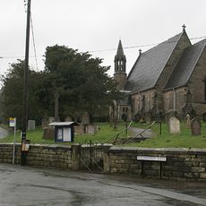
Church of St Michael
2.5 km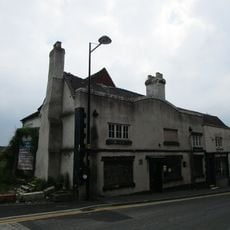
Wheatsheaf Inn
305 m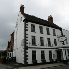
White Hart Hotel
273 m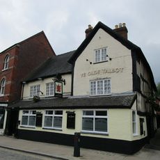
The Old Talbot Inn
268 m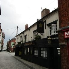
The Old Star Public House
310 m
Former Cross Keys Hotel (Ws Bagshaw And Sons, Auctioneers)
167 m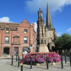
Uttoxeter War Memorial
279 m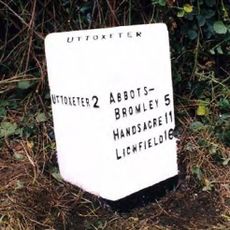
Milepost Near Highfields Farm
2.9 km
Black Swan Public House
326 m
Rural District Offices
194 m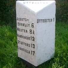
Milepost, by Plough public house, near junction
1.6 km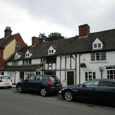
32-36, Carter Street
303 m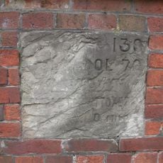
Mile Stone To North West Of The Manor House
111 m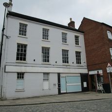
33 And 35, Market Place
297 m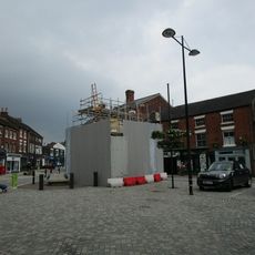
Conduit Or Market Cross
262 m
39, Carter Street
345 m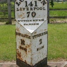
Milepost, by entrance to JCB parts division building
2.7 km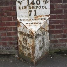
Milepost (1 Mile From Uttoxeter)
1.1 km
1, Market Street
316 m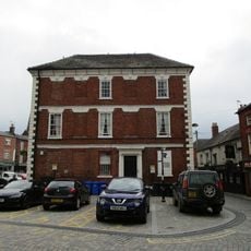
21, Market Place
284 m
Milepost At Ngr Sk 06363328
2.9 km
Milepost, Willslock
2.9 km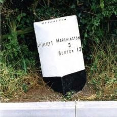
Milepost, Highwood
1.5 kmVous avez visité ce lieu ? Touchez les étoiles pour le noter et partager votre expérience ou vos photos avec la communauté ! Essayez maintenant ! Vous pouvez annuler à tout moment.
Trouvez des trésors cachés à chaque coin de rue !
Des petits cafés pittoresques aux points de vue planqués, fuyez la foule et dénichez les lieux qui vous ressemblent vraiment. Notre app vous facilite la vie : recherche vocale, filtres malins, itinéraires optimisés et bons plans partagés par des voyageurs du monde entier. Téléchargez vite pour vivre l'aventure en version mobile !

Une approche inédite de la découverte touristique❞
— Le Figaro
Tous les lieux qui valent la peine d'être explorés❞
— France Info
Une excursion sur mesure en quelques clics❞
— 20 Minutes