
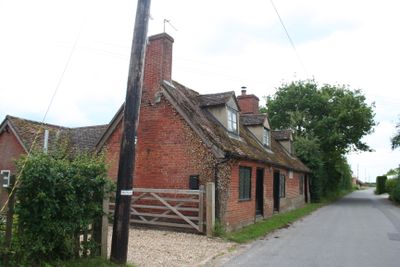
Erwarton Almshouses, Grade II listed almshouses in Erwarton, Babergh, Suffolk, IP9
Emplacement : Arwarton
Création : 1740
Fondateurs : Sir Philip Parker-a-Morley-Long, 3rd Baronet
Coordonnées GPS : 51.96640,1.23090
Dernière mise à jour : 4 mars 2025 à 14:59
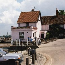
The Butt and Oyster, Pin Mill
3.6 km
HMS Badger
2.6 km
Stour Estuary
4.1 km
Michaelstowe Hall
4 km
Orwell Estuary
3.7 km
Trimley Marshes
3.9 km
Copperas Wood
3.7 km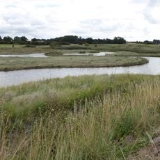
Levington Lagoon
4.2 km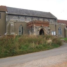
Church of St Mary
2.1 km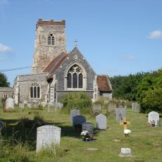
Church of St Mary
2.7 km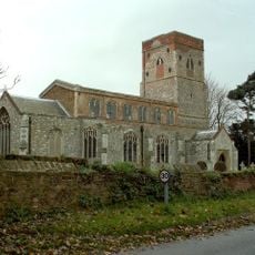
Church of St Mary
50 m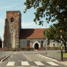
Parish Church of St Michael
4.3 km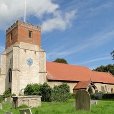
Church of All Saints
4 km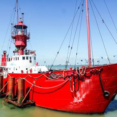
Lightvessel 18
4.3 km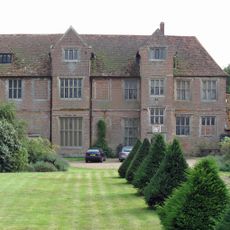
Erwarton Hall
493 m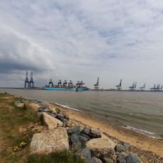
HMS Ganges Museum
3.2 km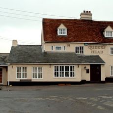
Queens Head, Ewarton
482 m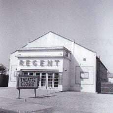
Regent Cinema
4.3 km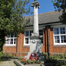
Chelmondiston War Memorial
3 km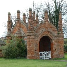
Erwarton Hall Gatehouse
576 m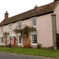
Nether Hall
2.3 km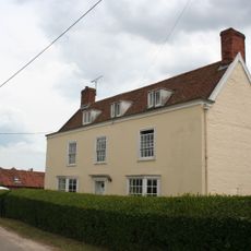
Church Farmhouse
172 m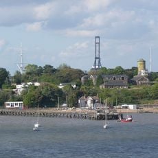
Martello Tower L
3 km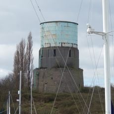
Martello Tower M
3.1 km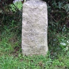
Milestone, Ramsey Road, opp. No. 100, Upper Dovercourt
4.3 km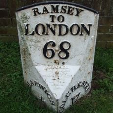
Milepost, Main Road at TM21303057
4.2 km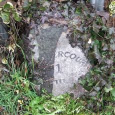
Milestone, opp. Fronks Road (B1414), Upper Dovercourt
4 km
Milestone, 100m W of mini-roundabout, Upper Dovercourt
4.1 kmVous avez visité ce lieu ? Touchez les étoiles pour le noter et partager votre expérience ou vos photos avec la communauté ! Essayez maintenant ! Vous pouvez annuler à tout moment.
Trouvez des trésors cachés à chaque coin de rue !
Des petits cafés pittoresques aux points de vue planqués, fuyez la foule et dénichez les lieux qui vous ressemblent vraiment. Notre app vous facilite la vie : recherche vocale, filtres malins, itinéraires optimisés et bons plans partagés par des voyageurs du monde entier. Téléchargez vite pour vivre l'aventure en version mobile !

Une approche inédite de la découverte touristique❞
— Le Figaro
Tous les lieux qui valent la peine d'être explorés❞
— France Info
Une excursion sur mesure en quelques clics❞
— 20 Minutes