
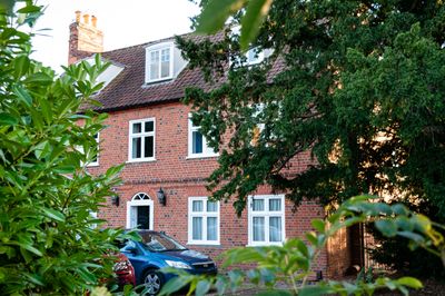
Street Farmhouse, farmhouse in Trimley St. Mary, Suffolk Coastal, Suffolk, UK
Emplacement : Trimley St Mary
Coordonnées GPS : 51.98412,1.31401
Dernière mise à jour : 7 mars 2025 à 02:12
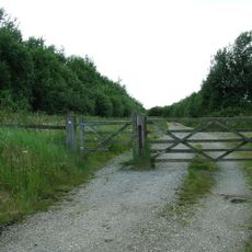
Trimley Marshes
2.2 km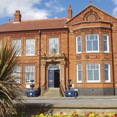
Felixstowe Town Hall
3.6 km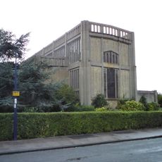
Church of St Andrew
3.4 km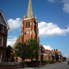
Church of St John the Baptist and St Felix
3.4 km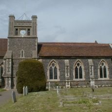
Church of St Mary
2.3 km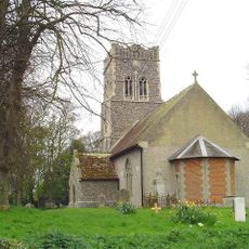
Church of St Ethelbert
2.7 km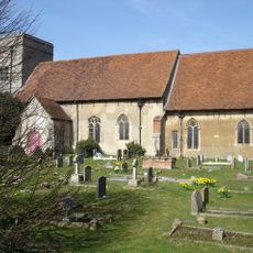
Church of St Mary
70 m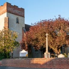
Church of St Martin, Trimley St Martin
114 m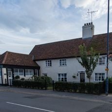
The Feathers Inn, Felixstowe
2.3 km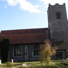
Church of St Mary and St Martin
2.8 km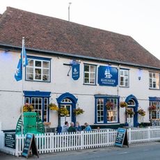
The Three Mariners, Trimley St Mary
64 m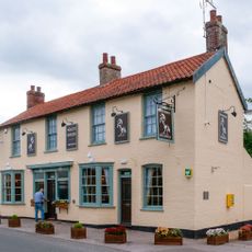
The White Horse, Kirton
2.8 km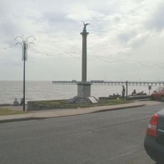
Felixstowe War Memorial
3.7 km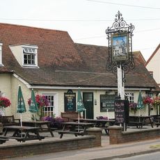
Hand In Hand, Trimley St Martin
919 m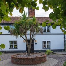
323,325, High Street
1.9 km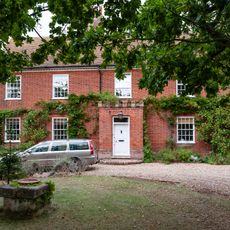
Manor House
3.2 km
Eagle House
148 m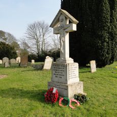
Kirton War Memorial
2.8 km
Reade House
3.5 km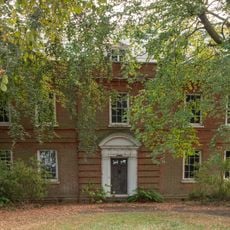
Walton Hall
1.5 km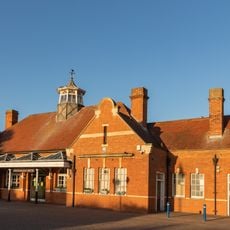
Main Passenger Buildings Concourse And Station Master's House, Felixstowe Station
3.2 km
Walton House
2.4 km
Smithy House
2.8 km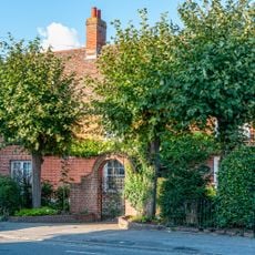
204, High Road
145 m
362, High Street
1.7 km
Church Farmhouse
135 m
The Old Hall
3.5 km
No 14 (The Q Tower)
3.5 kmVous avez visité ce lieu ? Touchez les étoiles pour le noter et partager votre expérience ou vos photos avec la communauté ! Essayez maintenant ! Vous pouvez annuler à tout moment.
Trouvez des trésors cachés à chaque coin de rue !
Des petits cafés pittoresques aux points de vue planqués, fuyez la foule et dénichez les lieux qui vous ressemblent vraiment. Notre app vous facilite la vie : recherche vocale, filtres malins, itinéraires optimisés et bons plans partagés par des voyageurs du monde entier. Téléchargez vite pour vivre l'aventure en version mobile !

Une approche inédite de la découverte touristique❞
— Le Figaro
Tous les lieux qui valent la peine d'être explorés❞
— France Info
Une excursion sur mesure en quelques clics❞
— 20 Minutes