
Upper Gatton Park, building in Reigate and Banstead, Surrey, UK
Emplacement : Reigate and Banstead
Coordonnées GPS : 51.27167,-0.18341
Dernière mise à jour : 25 mars 2025 à 10:37
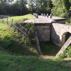
London Defence Positions
2.3 km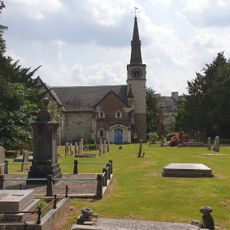
St Andrew's Church
1.4 km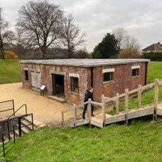
Reigate Fort
2.3 km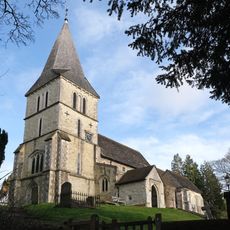
Church of St Katharine, Merstham
2.2 km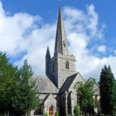
Church of St Andrew
3 km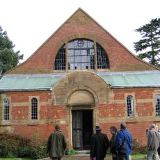
Church of Jesus Christ and the Wisdom of God
2 km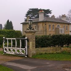
Entrance Gateway To South Of No 59 (Wray Park Lodge)
2.7 km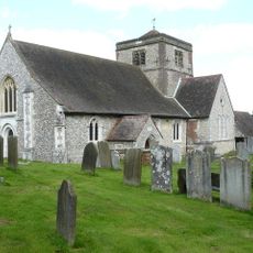
Church of St Margaret, Hooley
2.8 km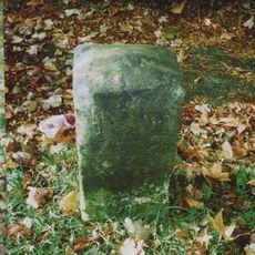
Milestone Opposite N0 31 Merrywood Park
3 km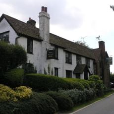
Well House Inn
1.5 km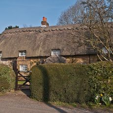
Thatched Cottage
1.1 km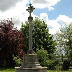
Chipstead War Memorial
2.8 km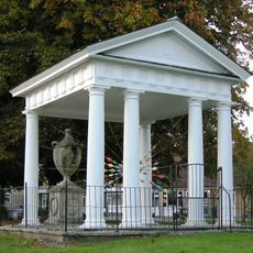
Gatton Town Hall
1.3 km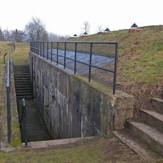
Reigate Fort
2.3 km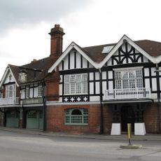
The Feathers Hotel
2.3 km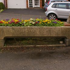
Drinking Fountain And Cattle Trough To East Of Nos 27 And 29
2.3 km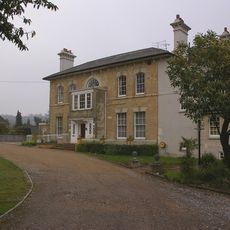
Wray Park Hall
2.8 km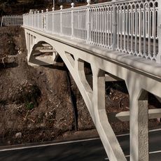
Reigate Hill Footbridge
1.9 km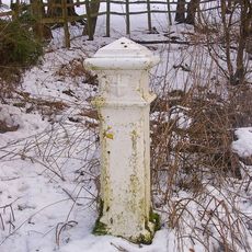
Coal Tax Post Opposite Wooden Cottage
2.6 km
384th Bombardment Group USAAF Crash Memorial, Reigate Hill
2.4 km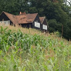
Hoath Farm House
1.8 km
Dovecot In Grounds To North Of Wellhead
2.1 km
Viaduct
1.5 km
Wray Park Lodge
2.7 km
West Lodge With Walls, Piers And Gates
2.4 km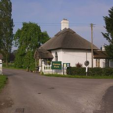
North Lodge, Including Fence And Gate
1.2 km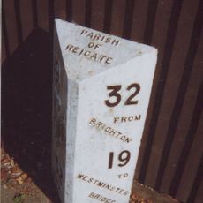
Milepost, Redhill, London Road; opp. Ringwood Ave
2.7 km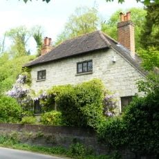
Wellhead
2.1 kmAvis
Vous avez visité ce lieu ? Touchez les étoiles pour le noter et partager votre expérience ou vos photos avec la communauté ! Essayez maintenant ! Vous pouvez annuler à tout moment.
Trouvez des trésors cachés à chaque coin de rue !
Des petits cafés pittoresques aux points de vue planqués, fuyez la foule et dénichez les lieux qui vous ressemblent vraiment. Notre app vous facilite la vie : recherche vocale, filtres malins, itinéraires optimisés et bons plans partagés par des voyageurs du monde entier. Téléchargez vite pour vivre l'aventure en version mobile !

Une approche inédite de la découverte touristique❞
— Le Figaro
Tous les lieux qui valent la peine d'être explorés❞
— France Info
Une excursion sur mesure en quelques clics❞
— 20 Minutes