
Mead Farmhouse, farmhouse in Rotherfield, Wealden, East Sussex, UK
Emplacement : Rotherfield
Coordonnées GPS : 51.07086,0.21071
Dernière mise à jour : 8 avril 2025 à 03:20
Eridge Park
3.7 km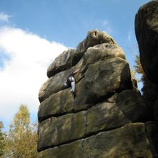
Harrison's Rocks
3.5 km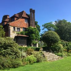
Luxford House
4 km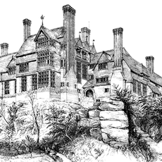
Leyswood
3.4 km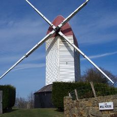
Argos Hill Mill, Mayfield
4.7 km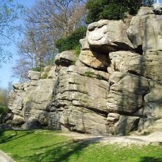
Bowles Rocks
909 m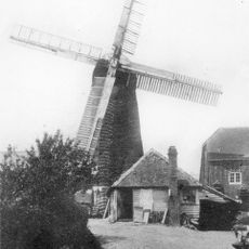
Pratt's Mill, Crowborough
3.5 km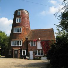
Walter's Mill, Mark Cross
3.6 km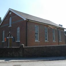
Rehoboth Chapel, Jarvis Brook
3.9 km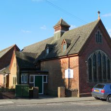
Crowborough Community Church
3.7 km
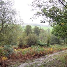
Crowborough Country Park
3.3 km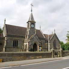
Holy Trinity Church, Eridge Green
3.2 km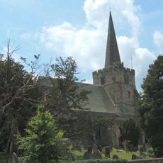
The Parish Church of St Denys
2.8 km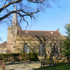
The Parish Church of All Saints
3.6 km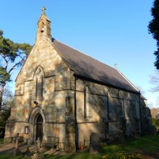
St John's Church
4.6 km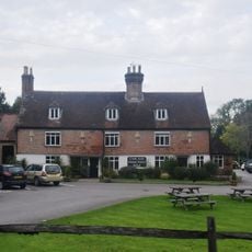
The Nevill Crest And Gun Hotel
3.4 km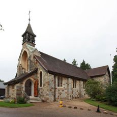
St Michael & All Angels
3.1 km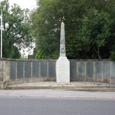
Crowborough War Memorial
3.7 km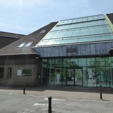
Crowborough Library
3.9 km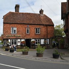
The King's Arms Public House
2.9 km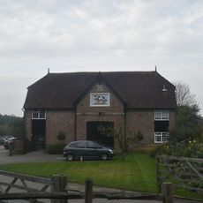
The Stables To The North East Of The Neville Crest And Gun Hotel
3.4 km
Medieval moated site with adjacent late medieval Pondbay, Walsh Manor, Crowborough
4.6 km
Shernfold Lodge
4.8 km
Renby Farmhouse Eridge Station
2.2 km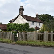
Boxgate Farmhouse
4.4 km
Morrisons
3.8 km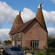
The Oasthouse
2.2 km
Ivy Cottage Ivy House Mark Cross Post Office
3.5 kmAvis
Vous avez visité ce lieu ? Touchez les étoiles pour le noter et partager votre expérience ou vos photos avec la communauté ! Essayez maintenant ! Vous pouvez annuler à tout moment.
Trouvez des trésors cachés à chaque coin de rue !
Des petits cafés pittoresques aux points de vue planqués, fuyez la foule et dénichez les lieux qui vous ressemblent vraiment. Notre app vous facilite la vie : recherche vocale, filtres malins, itinéraires optimisés et bons plans partagés par des voyageurs du monde entier. Téléchargez vite pour vivre l'aventure en version mobile !

Une approche inédite de la découverte touristique❞
— Le Figaro
Tous les lieux qui valent la peine d'être explorés❞
— France Info
Une excursion sur mesure en quelques clics❞
— 20 Minutes