
Stables North Of Dunston Hill Hospital, stable in Gateshead, Tyne and Wear, UK
Emplacement : Gateshead
Coordonnées GPS : 54.94617,-1.65749
Dernière mise à jour : 11 avril 2025 à 18:08
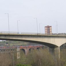
Redheugh Bridge
3 km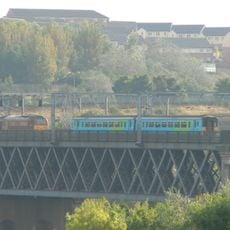
King Edward VII Bridge
3.2 km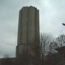
Derwent Tower
1.3 km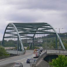
Scotswood Bridge
3.1 km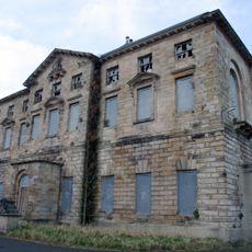
Axwell House
3 km
St Stephen's Church, Low Elswick
2.2 km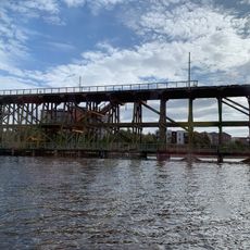
Dunston staiths
2 km
Milecastle 6
3.2 km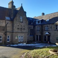
Royal Victoria School For The Blind
3 km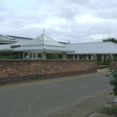
Dunston Hill Hospital
86 m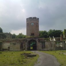
Château de Ravensworth
2.5 km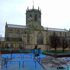
Church of St Chad
3 km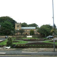
Church of St Mary
1.1 km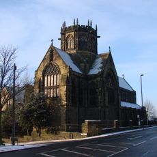
Church of St Michael And Presbytery Attached
2.4 km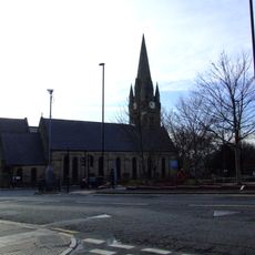
Church of St James
2.8 km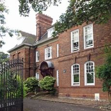
Church House And Dwarf Walls In Front
3.2 km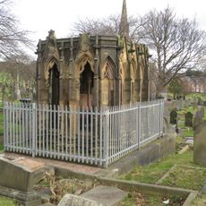
Mather Tomb In St John's Cemetery
2.4 km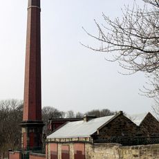
Benwell Waterworks Chimney
3.2 km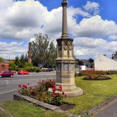
War Memorial
2 km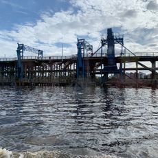
River Tyne Dunston Coal Staithes
2 km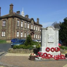
Whickham War Memorial
1 km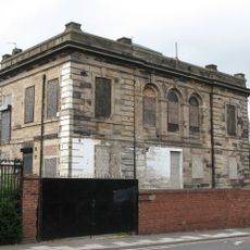
St Pauls Church Of England School (North Part)
3.2 km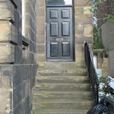
Steps And Railings To Right Of Number 2
3.2 km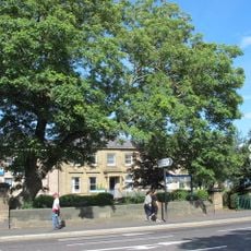
Piers And Walls In Front Of Number 416A
3.2 km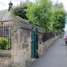
Railings And Walls To South And East Of Hospital Of St Mary The Virgin Almshouses
3 km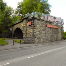
'Derwent Walk Express' and supporting bridge abutment and approach spans
2.2 km
Bensham Bank, by park
2.7 km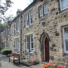
Hospital Of St Mary The Virgin Almshouses
3 kmAvis
Vous avez visité ce lieu ? Touchez les étoiles pour le noter et partager votre expérience ou vos photos avec la communauté ! Essayez maintenant ! Vous pouvez annuler à tout moment.
Trouvez des trésors cachés à chaque coin de rue !
Des petits cafés pittoresques aux points de vue planqués, fuyez la foule et dénichez les lieux qui vous ressemblent vraiment. Notre app vous facilite la vie : recherche vocale, filtres malins, itinéraires optimisés et bons plans partagés par des voyageurs du monde entier. Téléchargez vite pour vivre l'aventure en version mobile !

Une approche inédite de la découverte touristique❞
— Le Figaro
Tous les lieux qui valent la peine d'être explorés❞
— France Info
Une excursion sur mesure en quelques clics❞
— 20 Minutes