
Alnmouth Saltmarsh and Dunes, SSSI in Northumberland, England
Emplacement : Northumberland
Coordonnées GPS : 55.37986,-1.60636
Dernière mise à jour : 1 avril 2025 à 21:32

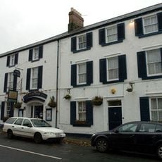
Schooner Hotel
901 m
St John the Baptist Parish Church, Alnmouth
1 km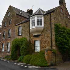
Marine House Private Hotel
1 km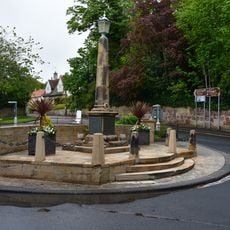
Alnmouth War Memorial
1.2 km
Barn 750 Metres East Of Junction With High Buston Road
353 m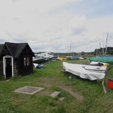
Ferryman's Hut Museum
841 m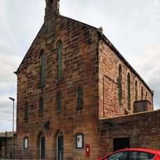
The Hindmarsh Hall
838 m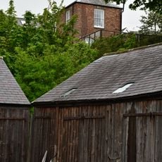
The Old Watch Tower And Attached Walls, In Grounds Of The Grange
1 km
Barndale Cottage Barndale House
1.1 km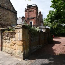
The Hall
1.1 km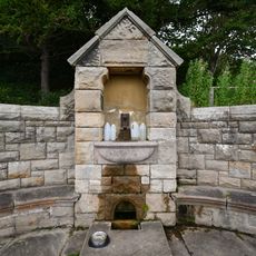
Pant On North Side Of Road To Lifeboat Station
1.2 km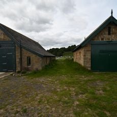
Lifeboat Station, Alnmouth
1.1 km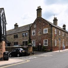
Driftwood Lodge
893 m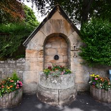
Pant On North Side Of Junction With The Wynd
1.2 km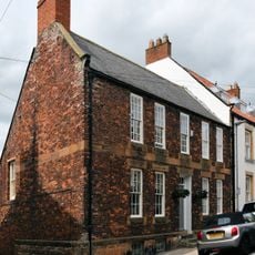
Alm House
967 m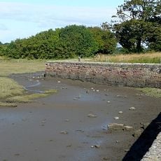
Old Harbour Wall
1 km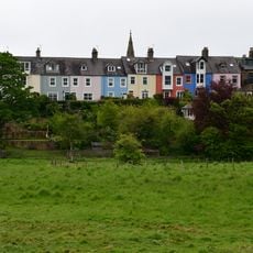
1-8, Lovaine Terrace
1.1 km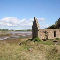
Ruined Chapel On West Side Of Church Hill
581 m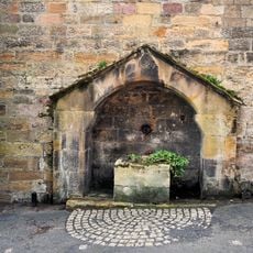
Pant Adjacent To Driftwood Lodge
907 m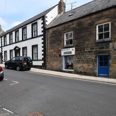
The Galleon
963 m
Seabank
968 m
6,7 And 8 With Attached Wall, Prospect Place
1 km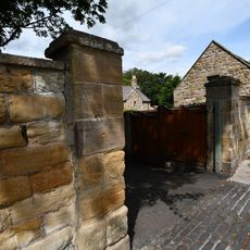
Front Wall And Gateways To The Hall And Hallsteads
1.1 km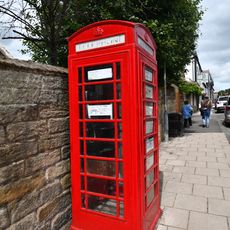
K6 Telephone Kiosk
994 m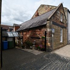
14, Northumberland Street
945 m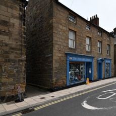
The Aln
944 m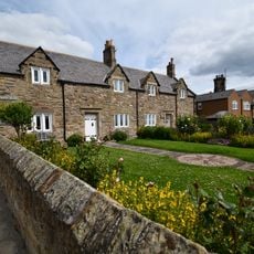
1-4 Victoria Place with Attached Wall to North West
824 m
7 And 7A, Northumberland Street
881 mVous avez visité ce lieu ? Touchez les étoiles pour le noter et partager votre expérience ou vos photos avec la communauté ! Essayez maintenant ! Vous pouvez annuler à tout moment.
Trouvez des trésors cachés à chaque coin de rue !
Des petits cafés pittoresques aux points de vue planqués, fuyez la foule et dénichez les lieux qui vous ressemblent vraiment. Notre app vous facilite la vie : recherche vocale, filtres malins, itinéraires optimisés et bons plans partagés par des voyageurs du monde entier. Téléchargez vite pour vivre l'aventure en version mobile !

Une approche inédite de la découverte touristique❞
— Le Figaro
Tous les lieux qui valent la peine d'être explorés❞
— France Info
Une excursion sur mesure en quelques clics❞
— 20 Minutes