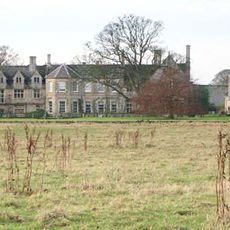
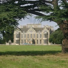
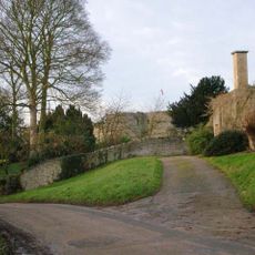
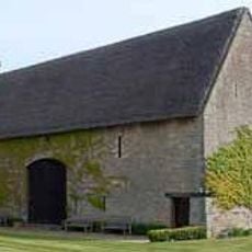
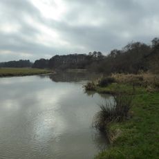
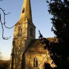
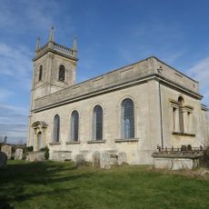
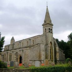
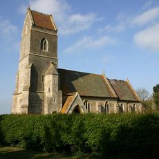
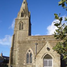
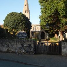
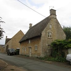
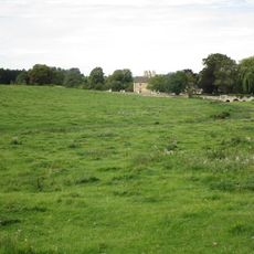
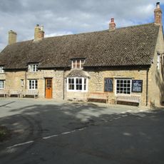
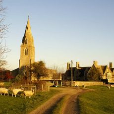
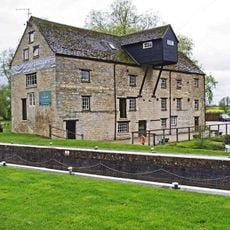
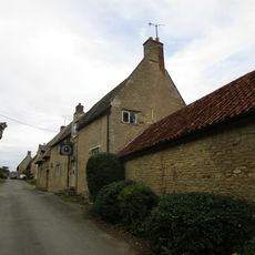
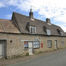
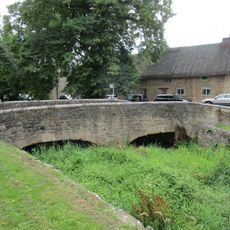
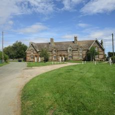
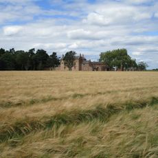
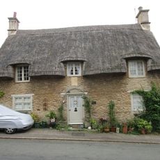
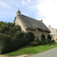
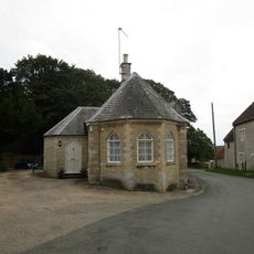
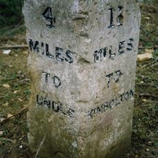
Lilford-cum-Wigsthorpe, civil parish in Northamptonshire, England
Emplacement : North Northamptonshire
Fait partie de : Lilford-cum-Wigsthorpe and Thorpe Achurch
Coordonnées GPS : 52.43755,-0.45982
Dernière mise à jour : 2 mars 2025 à 21:54
Manoir de Barnwell
1.9 km
Lilford Hall
2 km
Barnwell Castle
1.9 km
Thorpe Waterville Castle
3.1 km
Wadenhoe Marsh and Achurch Meadow
3.9 km
Church of St John the Baptist, Thorpe Achurch
2.7 km
Church of St Rumbald
3.7 km
Church of St James
3.8 km
Church of St Peter
3.8 km
Church of St Mary and All Saints
2.6 km
Church of St Andrew
1.7 km
27, Church Street
3.6 km
Bridge Approximately 75 Metres South Of Shuckburgh Arms Public House
3.8 km
Montague Arms Public House
1.6 km
Manor House
2.6 km
Barnwell Mill Restaurant
3.7 km
The Kings Head Public House And Attached Outbuilding
3.7 km
Wadenhoe Post Office
3.7 km
Bridge Approximately 10 Metres West Of The Montague Arms Public House
1.6 km
1-6, The Green
3.7 km
North Lodge Farmhouse
2.5 km
Parkers Patch
1.6 km
Manor Farm House And Attached Outbuilding
3.7 km
11 And 12, The Green
3.7 km
Shangrila
3.6 km
16, Main Street
3.6 km
South Lodge
3.6 km
Milestone, NE of B662 jct
1.4 kmVous avez visité ce lieu ? Touchez les étoiles pour le noter et partager votre expérience ou vos photos avec la communauté ! Essayez maintenant ! Vous pouvez annuler à tout moment.
Trouvez des trésors cachés à chaque coin de rue !
Des petits cafés pittoresques aux points de vue planqués, fuyez la foule et dénichez les lieux qui vous ressemblent vraiment. Notre app vous facilite la vie : recherche vocale, filtres malins, itinéraires optimisés et bons plans partagés par des voyageurs du monde entier. Téléchargez vite pour vivre l'aventure en version mobile !
Une approche inédite de la découverte touristique❞
— Le Figaro
Tous les lieux qui valent la peine d'être explorés❞
— France Info
Une excursion sur mesure en quelques clics❞
— 20 Minutes