
Brenchley and Matfield, civil parish in Tunbridge Wells, Kent, England
Emplacement : Tunbridge Wells
Coordonnées GPS : 51.14439,0.38958
Dernière mise à jour : 7 mars 2025 à 01:38
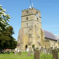
Parish Church of All Saints
970 m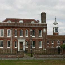
Matfield House
1.7 km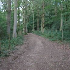
Brookland Wood
2.6 km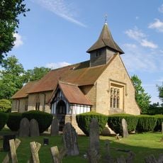
Chapel Of Ease Of St Luke
1.9 km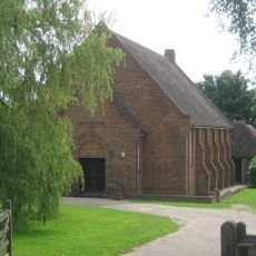
Ebenezer Church (Matfield)
1.5 km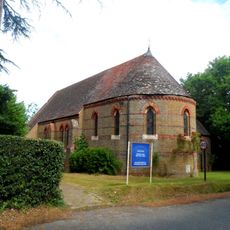
All Saints Roman Catholic Church
3.3 km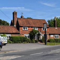
Standings Cross Public House
1.6 km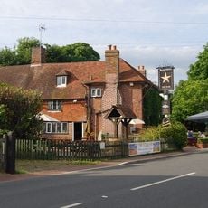
The Star Public House
1.6 km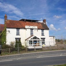
The Blue Boys Inn
2.8 km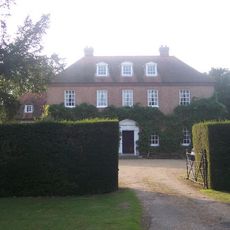
Sprivers
2.4 km
The Rose And Crown Public House
970 m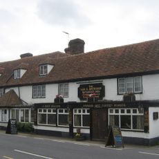
The Gun And Spitroast Public House And Rear Courtyard
2.8 km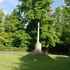
Matfield War Memorial
1.8 km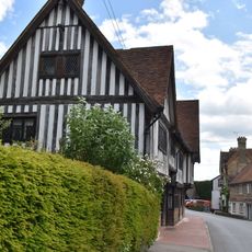
The Old Palace
991 m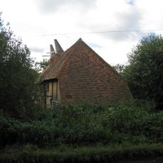
Barn Incorporating Oasthouse About 50 Metres North East Of Catts Place
3.2 km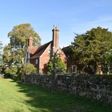
Little Hawkwell Farmhouse
3.9 km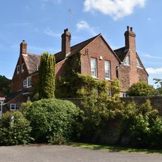
Gatehouse Farmhouse
732 m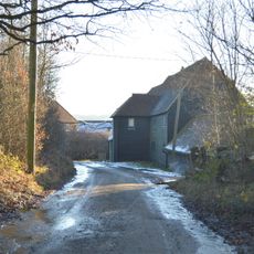
Barn And Outhouses About 20 Metres North Of Park Farmhouse
4.1 km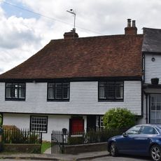
The Old Vicarage
984 m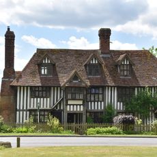
The Old Workhouse
962 m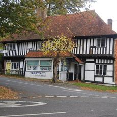
Terry's Town Farm Cottage Town Farmhouse
1 km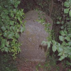
Milestone Cottages
2.4 km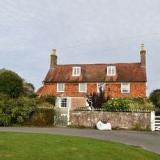
Hatherliegh Including Garden Walls And Gate To The East
1.7 km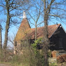
Oasthouse Immediately West Of Mile Oak Farmhouse
2.8 km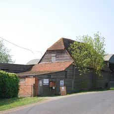
Barn About 50 Metres South Of Yew Tree Farmhouse
3.3 km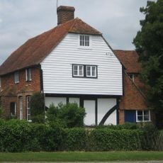
Yew Tree Farmhouse
3.3 km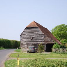
Barn About 30 Metres South Of Yew Tree Farmhouse
3.3 km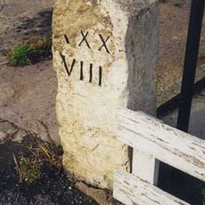
Milestone, Brenchley Road, by Milestone Cottage, W end of village
781 mAvis
Vous avez visité ce lieu ? Touchez les étoiles pour le noter et partager votre expérience ou vos photos avec la communauté ! Essayez maintenant ! Vous pouvez annuler à tout moment.
Trouvez des trésors cachés à chaque coin de rue !
Des petits cafés pittoresques aux points de vue planqués, fuyez la foule et dénichez les lieux qui vous ressemblent vraiment. Notre app vous facilite la vie : recherche vocale, filtres malins, itinéraires optimisés et bons plans partagés par des voyageurs du monde entier. Téléchargez vite pour vivre l'aventure en version mobile !

Une approche inédite de la découverte touristique❞
— Le Figaro
Tous les lieux qui valent la peine d'être explorés❞
— France Info
Une excursion sur mesure en quelques clics❞
— 20 Minutes