
Skillington, civil parish in South Kesteven, Lincolnshire, UK
Emplacement : South Kesteven
Coordonnées GPS : 52.81919,-0.66757
Dernière mise à jour : 7 mars 2025 à 15:37
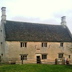
Manoir Woolsthorpe
2.7 km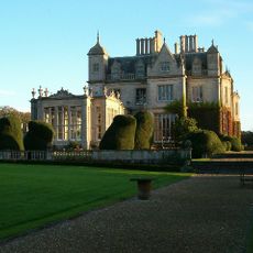
Stoke Rochford Hall
3.2 km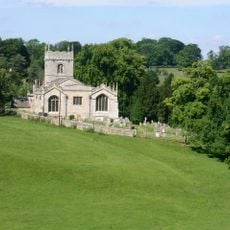
Church of St Mary and St Andrew, Stoke Rochford
2.9 km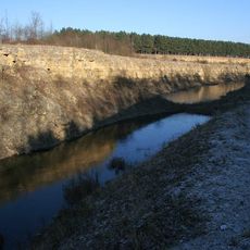
Sproxton Quarry
3.5 km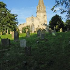
Church of St John the Baptist
3.1 km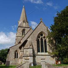
Church of St Peter
2.7 km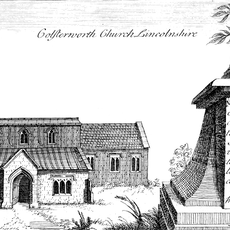
Church of St John the Baptist
3.4 km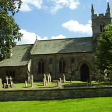
Church of St Nicholas
4.1 km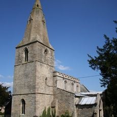
Church of St James
554 m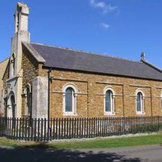
Church of Holy Trinity
4 km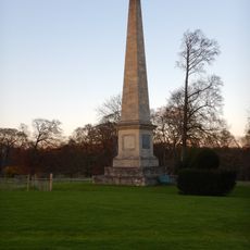
Obelisk, Approximately 250 Metres West North West Of Stoke Rochford Hall
3.2 km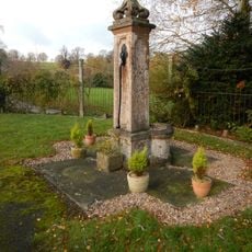
Village Pump
2.8 km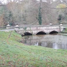
Bridge, Approximately 350 Metres South Of The Hall
2.9 km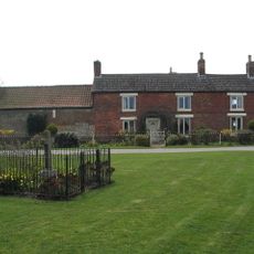
Sewstern War Memorial
4.1 km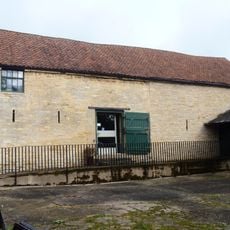
Barn At Woolsthorpe Manor
2.8 km
The Blue Dog
3.8 km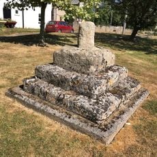
Village Cross
493 m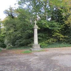
Cross
3.2 km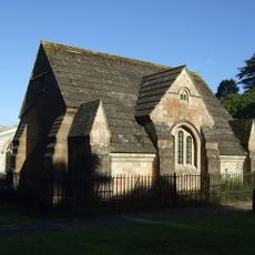
Dysart Mausoleum And Railing
3.1 km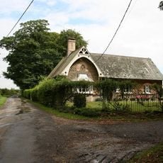
Old School
3.5 km
1 and 2, School Close
2.9 km
Saxon cross in churchyard of parish church, South Stoke
2.8 km
Old School And School House
2.8 km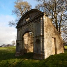
Ornamental Archway, Approximately 350 Metres South Of Stoke Rochford Hall
2.9 km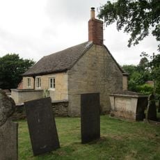
4, Spring Lane
3.4 km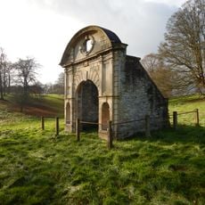
Ornamental Archway 250 M South West From Hall
2.9 km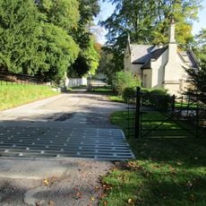
3 Gatepiers, Wall And Lodge, South East Entrance,550 Metres South-South East Of Stoke Rochford Hall
3 km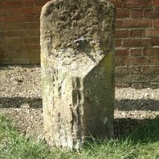
Milestone, Stamford Road, nr No 17
3.6 kmVous avez visité ce lieu ? Touchez les étoiles pour le noter et partager votre expérience ou vos photos avec la communauté ! Essayez maintenant ! Vous pouvez annuler à tout moment.
Trouvez des trésors cachés à chaque coin de rue !
Des petits cafés pittoresques aux points de vue planqués, fuyez la foule et dénichez les lieux qui vous ressemblent vraiment. Notre app vous facilite la vie : recherche vocale, filtres malins, itinéraires optimisés et bons plans partagés par des voyageurs du monde entier. Téléchargez vite pour vivre l'aventure en version mobile !

Une approche inédite de la découverte touristique❞
— Le Figaro
Tous les lieux qui valent la peine d'être explorés❞
— France Info
Une excursion sur mesure en quelques clics❞
— 20 Minutes