
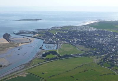
Amble by the Sea, civil parish in Northumberland, England
Emplacement : Northumberland
Coordonnées GPS : 55.33100,-1.57800
Dernière mise à jour : 5 mars 2025 à 01:24
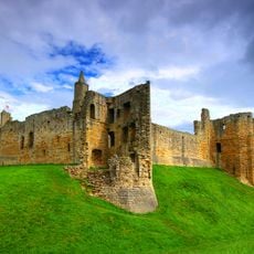
Château de Warkworth
2.7 km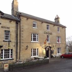
The Sun Hotel
2.7 km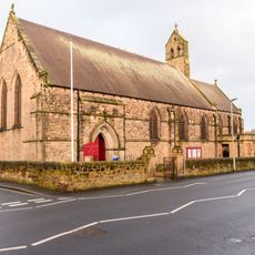
Church of St Cuthbert
452 m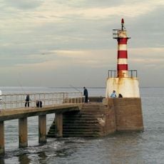
Amble South Pier light
995 m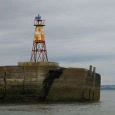
Amble North Pier light
1.1 km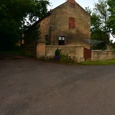
Togston House
2.3 km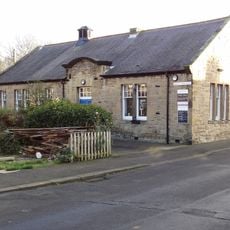
Amble Library
397 m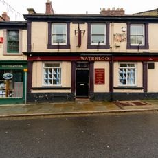
The Waterloo Public House
528 m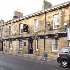
The Dock Public House
519 m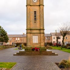
Clock Tower War Memorial
480 m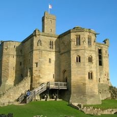
The Donjon
2.7 km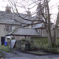
The Vicarage With Outbuildings And Yard Wall
401 m
Ruined Walls To East Of Roman Catholic Church Of Sacred Heart And St Cuthbert
682 m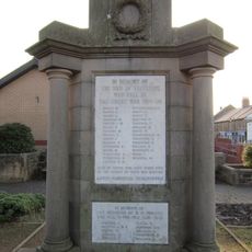
Radcliffe War Memorial 15 Metres West Of Clock Tower
473 m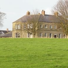
Hauxley Hall
1.5 km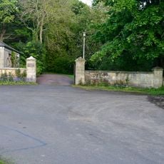
Entrance Screen To Togston Hall
2.4 km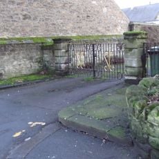
Gate Piers, Gates And Paddock Walls To North Of The Vicarage
417 m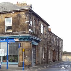
41, Queen Street
505 m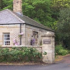
Gate Lodge To Togston Hall
2.4 km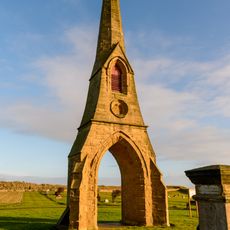
East Cemetary Entrance Screen And Chapel Spire
582 m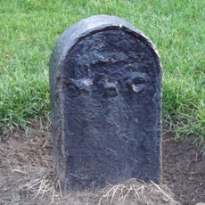
Boundary Marker 20 Metres West Of Number 1 The Coastguard House
698 m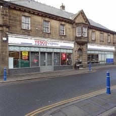
Main Block Of Co Operative Society Premises
479 m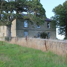
New Barns Farmhouse
2.5 km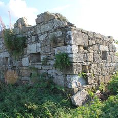
Pill Box at NU250047
1.8 km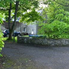
Togston Hall (northern Area Office Of British Coal Opencast Executive)
2.3 km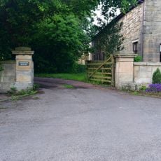
Entrance Screen And Front Wall To Togston House
2.4 km
West Part Of Farmbuilding Group To North Of Maudlin Farmhouse
2.3 km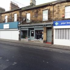
31-39, Queen Street
515 mAvis
Vous avez visité ce lieu ? Touchez les étoiles pour le noter et partager votre expérience ou vos photos avec la communauté ! Essayez maintenant ! Vous pouvez annuler à tout moment.
Trouvez des trésors cachés à chaque coin de rue !
Des petits cafés pittoresques aux points de vue planqués, fuyez la foule et dénichez les lieux qui vous ressemblent vraiment. Notre app vous facilite la vie : recherche vocale, filtres malins, itinéraires optimisés et bons plans partagés par des voyageurs du monde entier. Téléchargez vite pour vivre l'aventure en version mobile !

Une approche inédite de la découverte touristique❞
— Le Figaro
Tous les lieux qui valent la peine d'être explorés❞
— France Info
Une excursion sur mesure en quelques clics❞
— 20 Minutes