
Preston, village and civil parish in Cotswold, Gloucestershire, England
Emplacement : Cotswold
Coordonnées GPS : 51.71515,-1.93287
Dernière mise à jour : 7 mars 2025 à 03:12
Ampney Park
1.7 km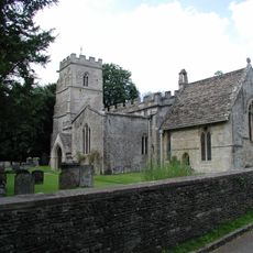
Church of the Holy Rood
1.8 km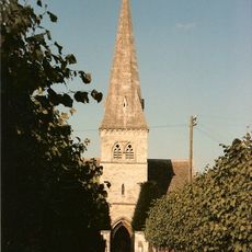
Church of St Peter
2.1 km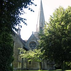
Church of the Holy Trinity
2.2 km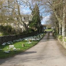
Church of All Saints
986 m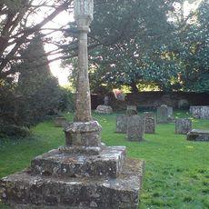
Cross in Churchyard of Church of the Holy Rood
1.8 km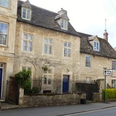
Chester Villa
2.2 km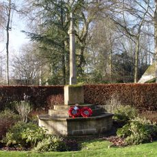
Ampney Crucis War Memorial
1.9 km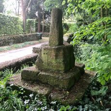
Wayside Cross at Ampney Crucis
1.9 km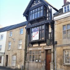
74 Dyer Street (former offices of the Wiltshire and Gloucestershire Standard)
2.1 km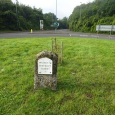
Milestone At Ngr Sp 036 027
1.4 km
Church Farmhouse
1 km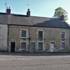
6, 8 And 10, London Road
1.9 km
50, 52 And 54, Chester Street
2 km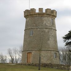
The Round House
2.3 km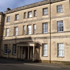
3 And 5, Dyer Street
2.3 km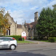
Cirencester County Junior School
1.9 km
10, City Bank Road
1.8 km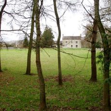
Norcote Farmhouse
572 m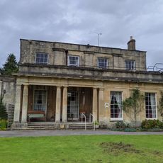
Watermoor House
2.1 km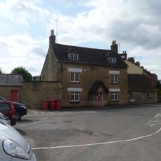
Cotswold Club And Attached Railings
1.8 km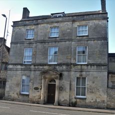
Oxford House
2 km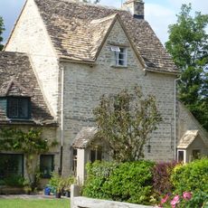
12, City Bank Road
1.8 km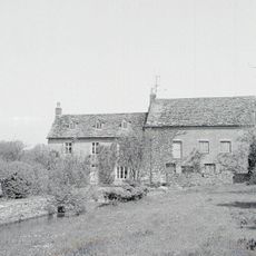
Preston Mill
1.7 km
12, Dyer Street
2.3 km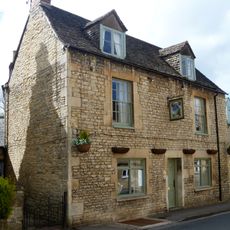
Twelve Bells And Attached Range Of Outbuildings
2.3 km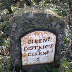
Milestone, E of jct A417
1.3 km
Milestone, W of entrance to Ampney Park.
1.1 kmVous avez visité ce lieu ? Touchez les étoiles pour le noter et partager votre expérience ou vos photos avec la communauté ! Essayez maintenant ! Vous pouvez annuler à tout moment.
Trouvez des trésors cachés à chaque coin de rue !
Des petits cafés pittoresques aux points de vue planqués, fuyez la foule et dénichez les lieux qui vous ressemblent vraiment. Notre app vous facilite la vie : recherche vocale, filtres malins, itinéraires optimisés et bons plans partagés par des voyageurs du monde entier. Téléchargez vite pour vivre l'aventure en version mobile !

Une approche inédite de la découverte touristique❞
— Le Figaro
Tous les lieux qui valent la peine d'être explorés❞
— France Info
Une excursion sur mesure en quelques clics❞
— 20 Minutes