
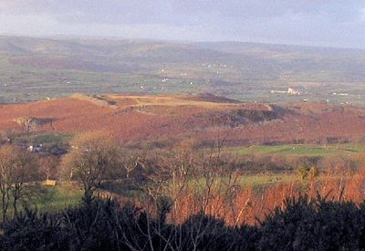
Y Gaer Fawr, Carn Goch, hillfort in Carmarthenshire
Emplacement : Carmarthenshire
Fait partie de : Garn Goch Camps
Coordonnées GPS : 51.90200,-3.90370
Dernière mise à jour : 9 mars 2025 à 20:16
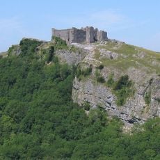
Château de Carreg Cennen
5.7 km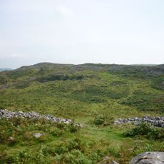
Y Garn Goch
137 m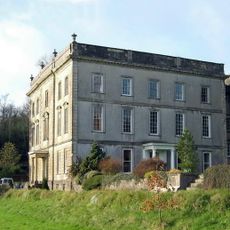
Plas Taliaris
6.3 km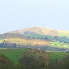
Trichrug
2.5 km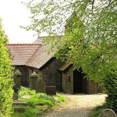
Church of The Holy Trinity, Taliaris
5.4 km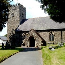
St Cadog's Church
4.4 km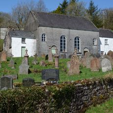
Capel Jerusalem and attached outbuildings
4.3 km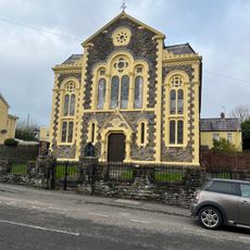
Salem Chapel
6.4 km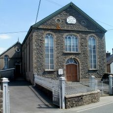
Providence Independent Chapel and vestry
4 km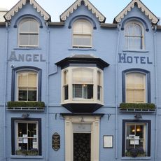
Angel Hotel
6.5 km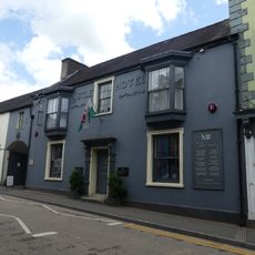
The Castle Hotel
6.4 km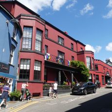
The Cawdor Arms Hotel, Rhosmaen Street
6.5 km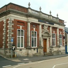
National Westminster Bank, Rhosmaen Street
6.4 km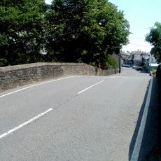
Pont Bran
4.4 km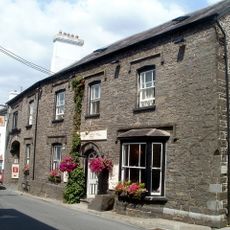
Red Lion Hotel
4.3 km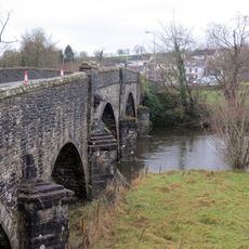
Bont-ar-Towy
4.3 km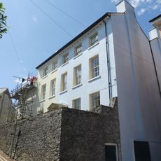
No.13 Bank Buildings
6.4 km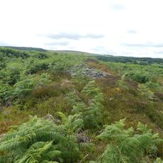
Y Gaer Fach
569 m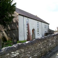
Cwmifor Welsh Baptist Church
3.5 km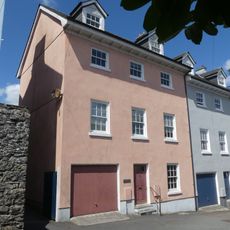
No.14 Bank Buildings
6.4 km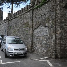
Stretch of Walling & Archways Between Nos. 5 & 7 Abbey Terrace
6.4 km
No.115 Rhosmaen Street (Including Tunnel Passage & Rear Range to Right)
6.4 km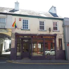
No.127 Rhosmaen Street (Goldsmith, Jewellers, Silversmiths)
6.5 km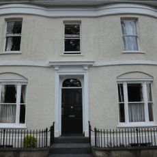
No.5 Abbey Terrace
6.4 km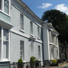
No.4 Abbey Terrace
6.4 km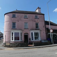
Prospect House, New Road
6.3 km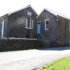
Capel Maen
3.2 km
Capel Newydd Welsh Independent Chapel)
6.3 kmVous avez visité ce lieu ? Touchez les étoiles pour le noter et partager votre expérience ou vos photos avec la communauté ! Essayez maintenant ! Vous pouvez annuler à tout moment.
Trouvez des trésors cachés à chaque coin de rue !
Des petits cafés pittoresques aux points de vue planqués, fuyez la foule et dénichez les lieux qui vous ressemblent vraiment. Notre app vous facilite la vie : recherche vocale, filtres malins, itinéraires optimisés et bons plans partagés par des voyageurs du monde entier. Téléchargez vite pour vivre l'aventure en version mobile !

Une approche inédite de la découverte touristique❞
— Le Figaro
Tous les lieux qui valent la peine d'être explorés❞
— France Info
Une excursion sur mesure en quelques clics❞
— 20 Minutes