
Hope, civil parish in County Durham, England
Emplacement : County Durham
Coordonnées GPS : 54.46685,-1.96100
Dernière mise à jour : 20 mai 2025 à 21:06
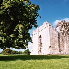
Château de Bowes
6.5 km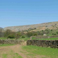
Fremington Edge
6.9 km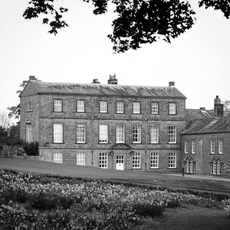
Barningham Park
6.4 km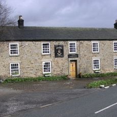
Milbank Arms
6.4 km
Church of St Giles
6.5 km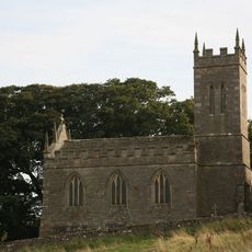
Church of St Mary
6.4 km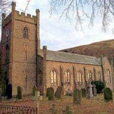
Church of St Mary the Virgin
5.7 km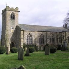
Church of St. Michael
6.4 km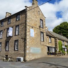
The Ancient Unicorn Hotel And Attached Rear Wing (Shown On Os Map As Unicorn House)
6.4 km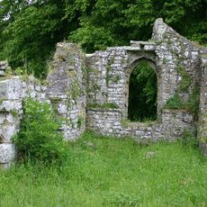
Ruins of Old Church of St Mary
6.6 km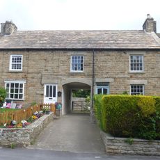
Cross House And Church View
6.6 km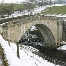
Rutherford Bridge
4.3 km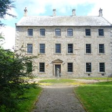
Bowes Hall
6.3 km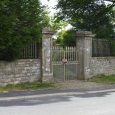
Garden Walls Gate Piers And Gates Adjoining South Front Of Bowes Hall
6.3 km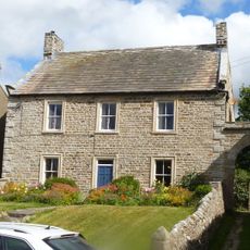
Prospect House And Archway To Right
6.6 km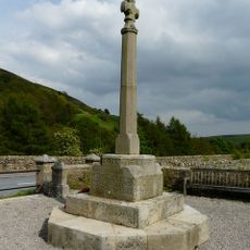
Langthwaite War Memorial
5.8 km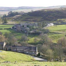
C B Yard
5.3 km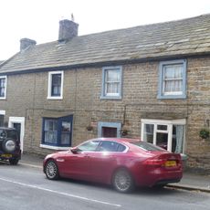
Croft House Attached Extension And Sunny Croft
6.4 km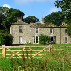
Brignall Grange
6.4 km
Castle Terrace
6.5 km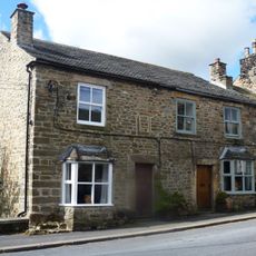
1 and 2, the Street
6.4 km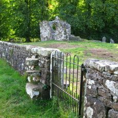
Churchyard Wall Around Old Church Of St Mary
6.6 km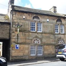
Bowes And District Working Men's Club
6.4 km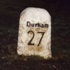
Milepost Opposite East End Of Bowes Gate Cottages
6.9 km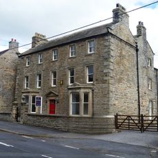
The Grove
6.5 km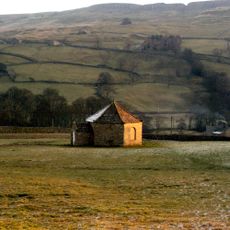
Old Powder Magazine
5.3 km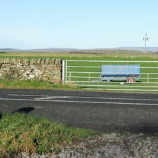
Milestone, 35 Metres West Of Milestone House (Shown On Os Map As New House)
6.7 km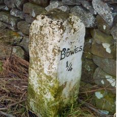
Milestone, ExYN E of Bowes
6.2 kmAvis
Vous avez visité ce lieu ? Touchez les étoiles pour le noter et partager votre expérience ou vos photos avec la communauté ! Essayez maintenant ! Vous pouvez annuler à tout moment.
Trouvez des trésors cachés à chaque coin de rue !
Des petits cafés pittoresques aux points de vue planqués, fuyez la foule et dénichez les lieux qui vous ressemblent vraiment. Notre app vous facilite la vie : recherche vocale, filtres malins, itinéraires optimisés et bons plans partagés par des voyageurs du monde entier. Téléchargez vite pour vivre l'aventure en version mobile !

Une approche inédite de la découverte touristique❞
— Le Figaro
Tous les lieux qui valent la peine d'être explorés❞
— France Info
Une excursion sur mesure en quelques clics❞
— 20 Minutes