
Methodist Church Thomas St. Portadown Co.armagh, church building in Northern Ireland, United Kingdom,, UK
Emplacement : Northern Ireland
Coordonnées GPS : 54.42100,-6.44279
Dernière mise à jour : 3 mars 2025 à 22:12

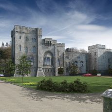
Château de Gosford
9.6 km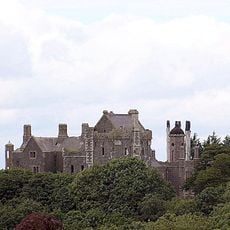
Tandragee Castle
7.6 km
Observatoire d'Armagh
15.4 km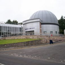
Armagh Planetarium
15.4 km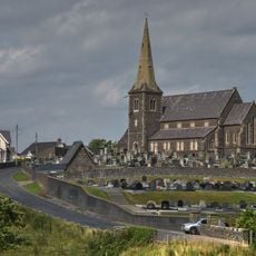
Drumcree Church
2.4 km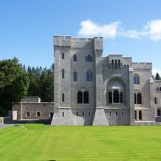
Gosford Forest Park
14.2 km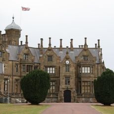
Brownlow House Windsor Avenue Lurgan Co.armagh
8.9 km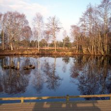
Peatlands Park
12.9 km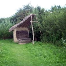
Oxford Island
8.8 km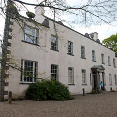
Ardress House
10 km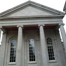
Armagh County Museum
15.6 km
Lisnagade
12.2 km
Maghery Country Park
13.9 km
Town Hall Theatre, Portadown
156 m
Lurgan Town Hall
8.5 km
Banbridge Town Hall
13.8 km
The Argory
14.8 km
Picture House
8.5 km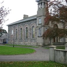
Waringstown Presbyterian Church Mill Hill Waringstown Craigavon Co.down
9.6 km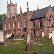
St.mark's Church The Mall East Armagh Co.armagh
15.4 km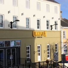
Armagh Omniplex
209 m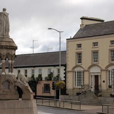
Crozier Monument Church Square Banbridge Co.down
13.8 km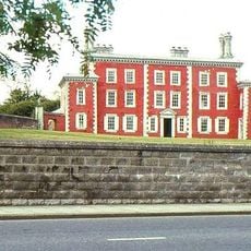
Waringstown House Magherana Waringstown Craigavon Co.down
9.4 km
Lurgan Library
8.5 km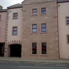
Portadown Library
191 m
Downshire Bridge ( And The Cut) Banbridge Co.down
13.8 km
Armagh Observatory College Hill Armagh
15.4 km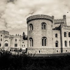
Gosford Castle Gosford Demesne Markethill Co.armagh
13.3 kmAvis
Vous avez visité ce lieu ? Touchez les étoiles pour le noter et partager votre expérience ou vos photos avec la communauté ! Essayez maintenant ! Vous pouvez annuler à tout moment.
Trouvez des trésors cachés à chaque coin de rue !
Des petits cafés pittoresques aux points de vue planqués, fuyez la foule et dénichez les lieux qui vous ressemblent vraiment. Notre app vous facilite la vie : recherche vocale, filtres malins, itinéraires optimisés et bons plans partagés par des voyageurs du monde entier. Téléchargez vite pour vivre l'aventure en version mobile !

Une approche inédite de la découverte touristique❞
— Le Figaro
Tous les lieux qui valent la peine d'être explorés❞
— France Info
Une excursion sur mesure en quelques clics❞
— 20 Minutes