
St Donat's Churchyard Cross, churchyard cross in St Donats, Vale of Glamorgan, Wales
Emplacement : St Donats
Altitude : 16,3 m
Coordonnées GPS : 51.40140,-3.53428
Dernière mise à jour : 7 mars 2025 à 23:41
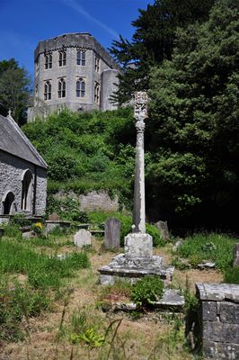
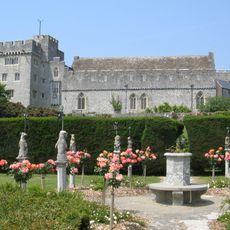
Château de Saint Donat's
91 m
St Illtyd's Church, Llantwit Major
3.3 km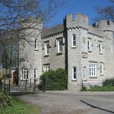
Dimlands
2.4 km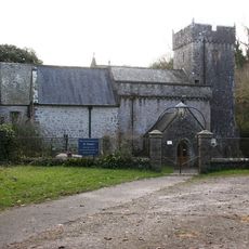
Church Of St Donat
23 m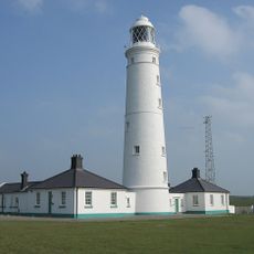
Phare de Nash Point
1.2 km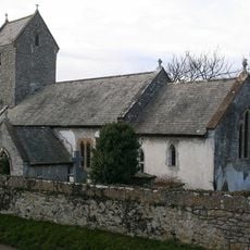
Church of the Holy Trinity
1.6 km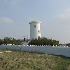
Vieux phare de Nash Point
1.6 km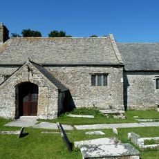
St Mary's Church
2.7 km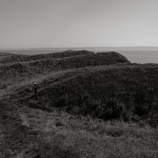
Nash Point Camp
1.9 km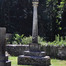
Nicholl-Carne Memorial Cross in Churchyard of Church of St Donat
34 m
The Old Police Station
3.3 km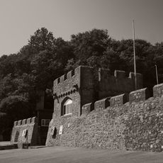
Sea Walls and Towers at St Donats Castle
314 m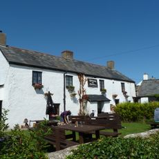
The Plough and Harrow
2.9 km
Old White Hart P.H.
3.4 km
West Farmhouse
3.3 km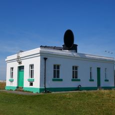
Fog Station at Nash Point Lighthouse
1.4 km
Plymouth House
3.3 km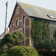
Ebenezer Calvinistic Methodist Chapel
3.2 km
Old Place (or Llantwit Major Castle)
3.4 km
Tabernacle Calvinistic Methodist Chapel
3.4 km
Cross in Churchyard of Church of St. Illtud
3.3 km
The Gatehouse (porter's Room)
3.2 km
Chantry House
3.3 km
The Old School, including attached walling
3.4 km
Footbridge over brook at West entrance to churchyard of Church of St Illtud
3.3 km
Llantwit Major Dovecote
3.2 km
Former Chantry Priest's House
3.3 km
Swimbridge Farmhouse with attached garden walls
3.3 kmVous avez visité ce lieu ? Touchez les étoiles pour le noter et partager votre expérience ou vos photos avec la communauté ! Essayez maintenant ! Vous pouvez annuler à tout moment.
Trouvez des trésors cachés à chaque coin de rue !
Des petits cafés pittoresques aux points de vue planqués, fuyez la foule et dénichez les lieux qui vous ressemblent vraiment. Notre app vous facilite la vie : recherche vocale, filtres malins, itinéraires optimisés et bons plans partagés par des voyageurs du monde entier. Téléchargez vite pour vivre l'aventure en version mobile !

Une approche inédite de la découverte touristique❞
— Le Figaro
Tous les lieux qui valent la peine d'être explorés❞
— France Info
Une excursion sur mesure en quelques clics❞
— 20 Minutes