
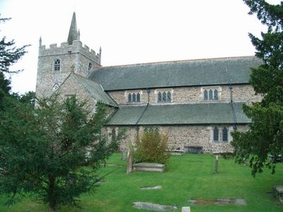
Church Of St. Aelhaiarn, Grade I listed church in the United Kingdom
Emplacement : Guilsfield
Création : 12e siècle
Altitude : 86 m
Coordonnées GPS : 52.69690,-3.15673
Dernière mise à jour : 3 mars 2025 à 11:13
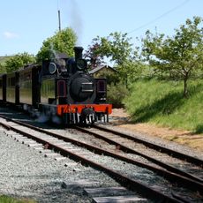
Welshpool and Llanfair Light Railway
4.1 km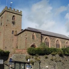
St Mary's Church
4 km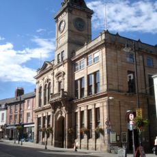
Welshpool Town Hall
4.1 km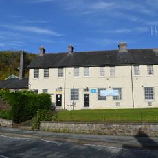
Brook Street drill hall, Welshpool
3.9 km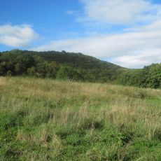
Gaer Fawr, Guilsfield
1.5 km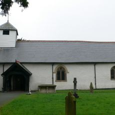
Church of All Saints
4.2 km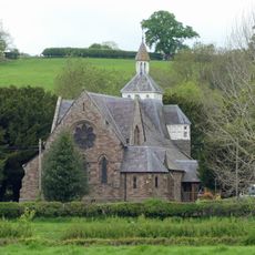
Church of Saint John Evangelist
3.8 km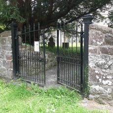
Churchyard Wall and Gates, Church of St. Aelhaiarn
45 m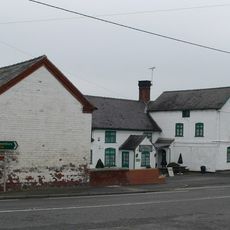
Green Dragon Inn
4.2 km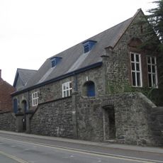
Church House
4.1 km
Welshpool Library
4 km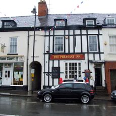
The Pheasant PH
4.1 km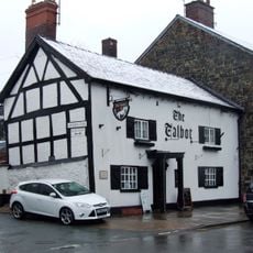
Talbot Inn
4.1 km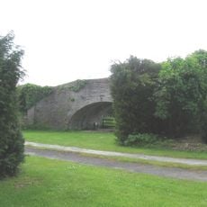
Canal Bridge On Roadway to Bridge Farm, B 4392 , Varchoel
2.3 km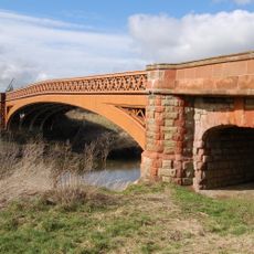
Buttington Bridge, A 458 , Buttington
3.9 km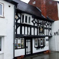
Mermaid Inn
4 km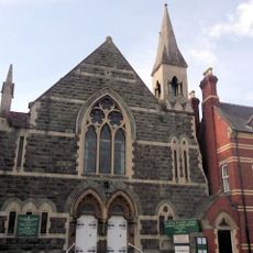
Welshpool Methodist Church
4.1 km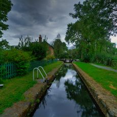
Crowther Hall Lock
3.9 km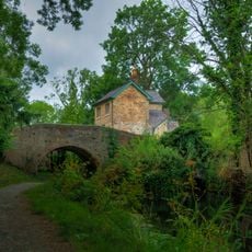
Bridge 110 over the Montgomeryshire Canal
3.9 km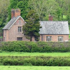
School House
3.9 km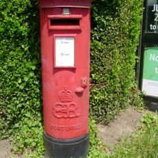
Pillar Box on corner with Erw Wen
4 km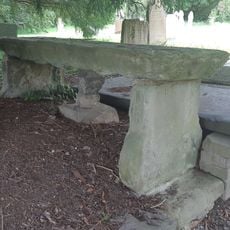
Jones Monument, Close to The South Gates of The Churchyard (Formerly Listed as Table Tomb to Richard
30 m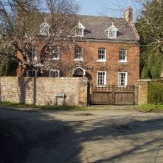
The Red House, Oak Lane (N Side) Guilsfield
73 m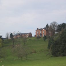
Tynllwyn Farmhouse
3.1 km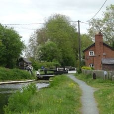
Top Lock
3.7 km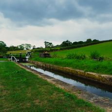
Cabin Lock
3.9 km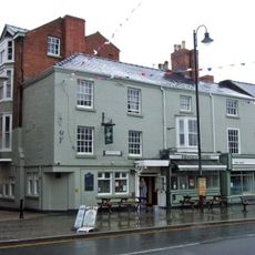
Pinewood Tavern
4.1 km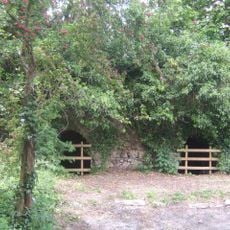
Buttington Limekilns
3.5 kmVous avez visité ce lieu ? Touchez les étoiles pour le noter et partager votre expérience ou vos photos avec la communauté ! Essayez maintenant ! Vous pouvez annuler à tout moment.
Trouvez des trésors cachés à chaque coin de rue !
Des petits cafés pittoresques aux points de vue planqués, fuyez la foule et dénichez les lieux qui vous ressemblent vraiment. Notre app vous facilite la vie : recherche vocale, filtres malins, itinéraires optimisés et bons plans partagés par des voyageurs du monde entier. Téléchargez vite pour vivre l'aventure en version mobile !

Une approche inédite de la découverte touristique❞
— Le Figaro
Tous les lieux qui valent la peine d'être explorés❞
— France Info
Une excursion sur mesure en quelques clics❞
— 20 Minutes