
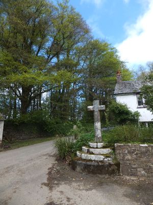
Wayside cross 120m south west of All Saints' Church
Wayside cross 120m south west of All Saints' Church, wayside cross in Bradford, Torridge, Devon, UK
Emplacement : Bradford
Coordonnées GPS : 50.84230,-4.24546
Dernière mise à jour : 2 mars 2025 à 21:40
Dunsland
2.4 km
Manor of Buckland Filleigh
5 km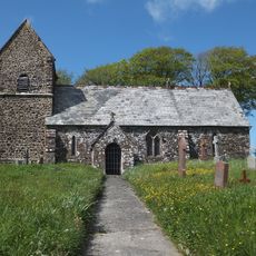
Church of St Petrock
5.9 km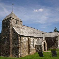
Church of St John the Baptist and the Seven Maccabees
1.7 km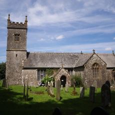
Church of St Peter
2.3 km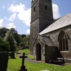
Church of All Saints
139 m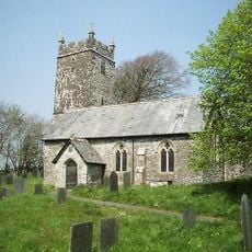
Church of St Petrock
5.2 km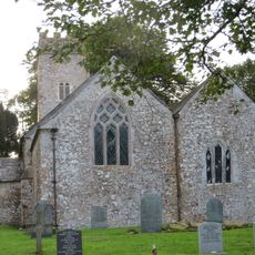
Church of Holy Trinity
5 km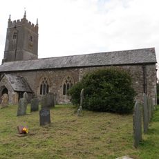
Church of St Michael
2.8 km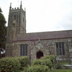
Church of St Mary
4.7 km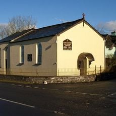
Methodist Chapel
5.6 km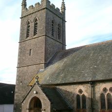
Church of St Lawrence
6.7 km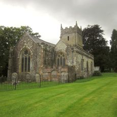
Church of St Mary
5 km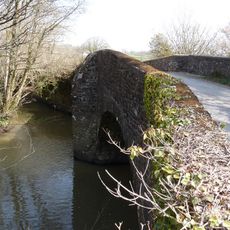
Black Torrington Bridge
5.1 km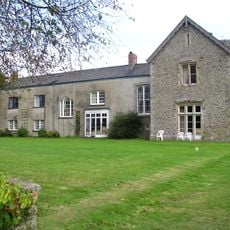
Coham
3.8 km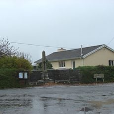
Woodacott Cross War Memorial
3.4 km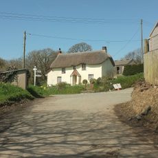
Strawberry Bank Strawberry Bank (Thatched Cottage) Thatched Cottage
4.6 km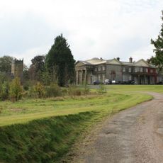
Buckland Manor
4.9 km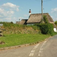
Caute Cottage
3.7 km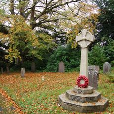
Buckland Filleigh War Memorial
5 km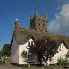
Waldon Cottage
6.7 km
North Trew Cottage Trew Cottage
6.5 km
Home Farm
5.4 km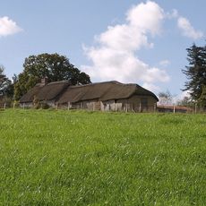
Barton Farmhouse And Attached Barn To North
6.9 km
Pound House And Adjoining House To The West
6.7 km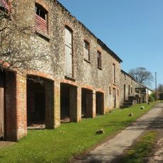
Range Of Farmbuildings About 30M South West Of Hayne Farmhouse
6.3 km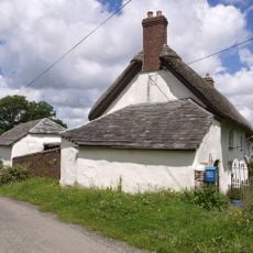
West Chilla Farmhouse
5.4 km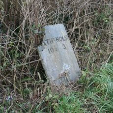
Milestone, 250m E of Stapledon Farm
4.9 kmVous avez visité ce lieu ? Touchez les étoiles pour le noter et partager votre expérience ou vos photos avec la communauté ! Essayez maintenant ! Vous pouvez annuler à tout moment.
Trouvez des trésors cachés à chaque coin de rue !
Des petits cafés pittoresques aux points de vue planqués, fuyez la foule et dénichez les lieux qui vous ressemblent vraiment. Notre app vous facilite la vie : recherche vocale, filtres malins, itinéraires optimisés et bons plans partagés par des voyageurs du monde entier. Téléchargez vite pour vivre l'aventure en version mobile !

Une approche inédite de la découverte touristique❞
— Le Figaro
Tous les lieux qui valent la peine d'être explorés❞
— France Info
Une excursion sur mesure en quelques clics❞
— 20 Minutes